Chiang Mai / Mae Hong Son · Thailand
Mae Hong Son Loop
1095Mae Malai to Mae Hong Son
Distance124.6 mi201 km
Drive time4 h 21 minon the road
DifficultyDemandingtightness 6 of 10
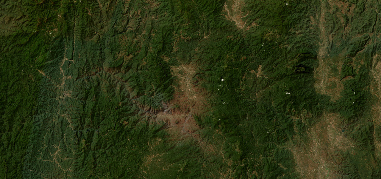
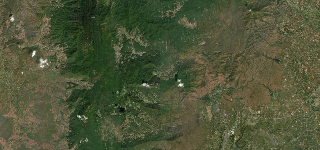
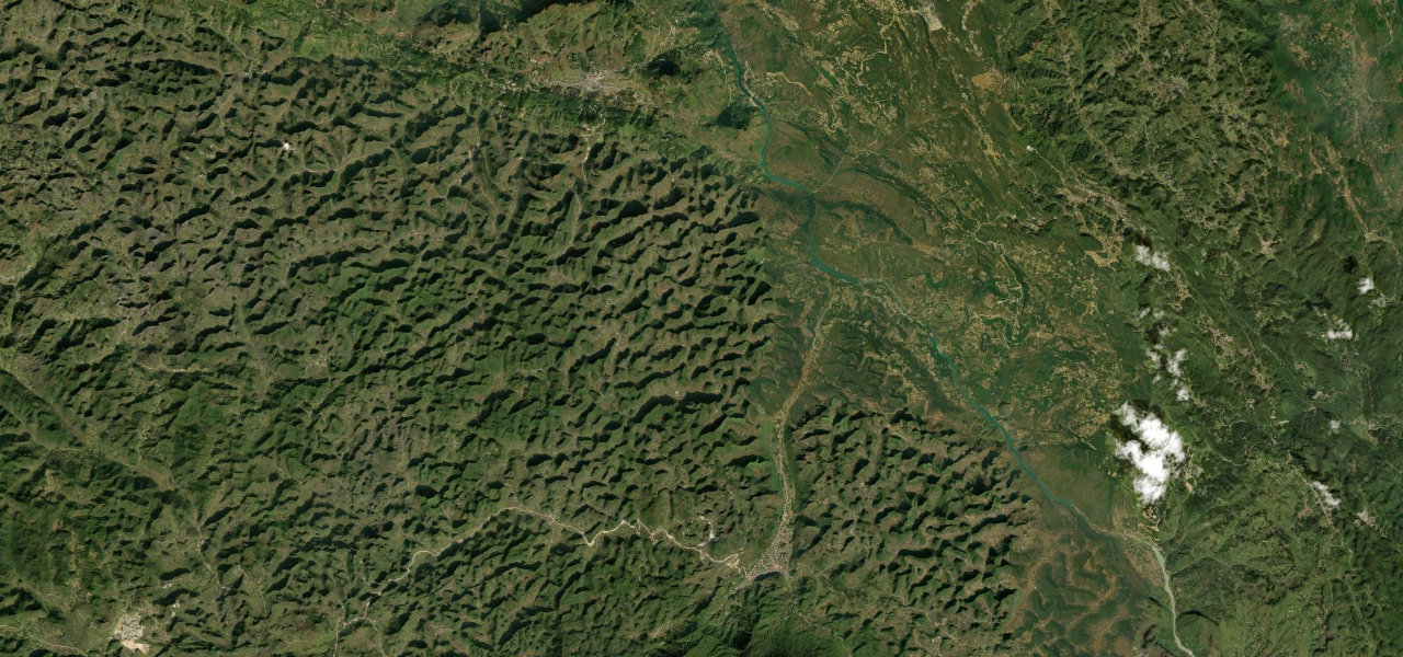
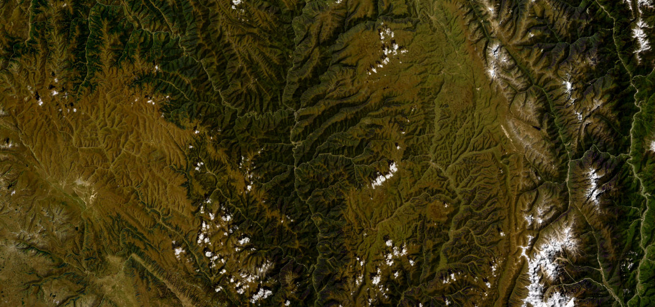
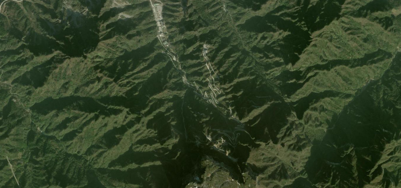
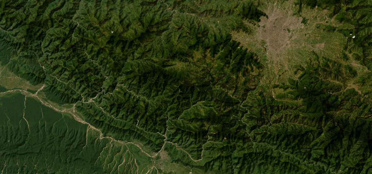
Thailand’s most celebrated mountain highway runs 245 km from Chiang Mai to Mae Hong Son via Pai, through remote hill-tribe country on continuous switchbacks.
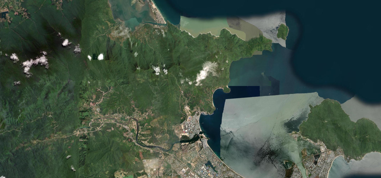
From Mae Malai north of Chiang Mai, Route 1095 climbs into the mountains with sustained switchbacks through jungle. Pai, in a wide river valley, is the main overnight stop at ~80 km; beyond it the road crosses high ridges before dropping to Mae Hong Son. The northern leg of the famous loop that has drawn drivers for its unrelenting curves.
Scenery
MountainForestValley
Where it runs
Mae MalaiStart · Chiang Mai / Mae Hong Son
Mae Hong SonEnd · Chiang Mai / Mae Hong Son
Navigate to the start: Apple Maps · Google Maps
Character
Corners593bends
Tightness6of 10
Max gradient10%≈ 1-in-10
Hairpins22tight bends
Climb2,293 mtotal ascent
Summit1,419 mhighest point of the line · 4,656 ft
Elevation
under 4%4–8%over 8%213 – 1,419 mHazards
- burning-season smoke February to April
- monsoon landslides July to October
- 50 km gaps between fuel
- steep descents slippery in rain
- minimal guardrails
Sources: Road geometry © OpenStreetMap contributors
Nearby roads
The closest great drives to Mae Hong Son Loop.
Mae Hong Son Loop
Directions