Vientiane / Luang Prabang Province · Laos
Route 13: Vang Vieng to Luang Prabang
Route 13Vang Vieng to Luang Prabang
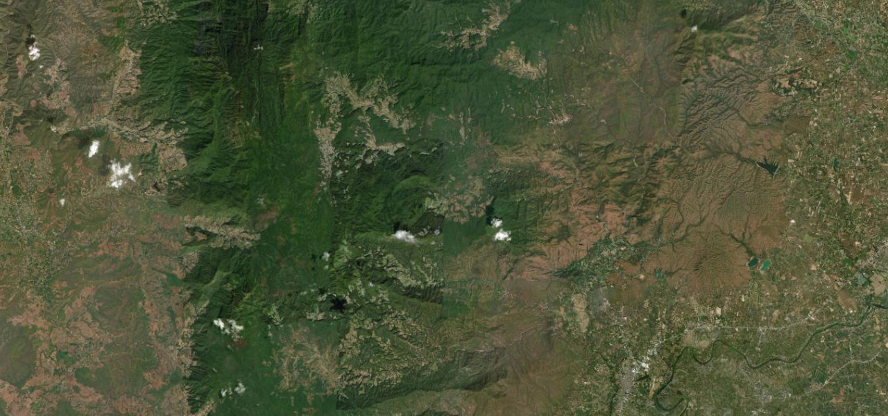
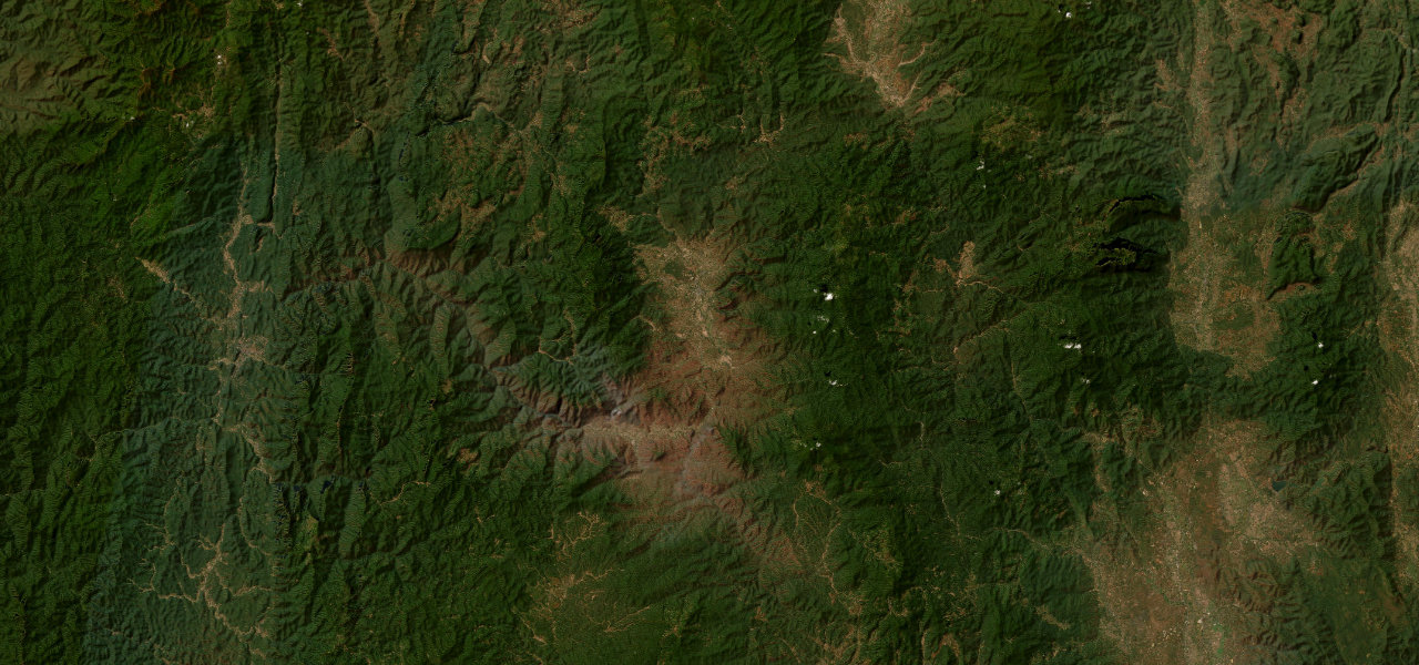
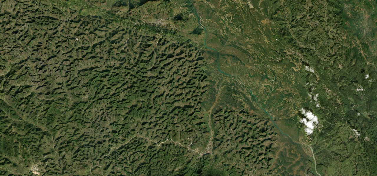
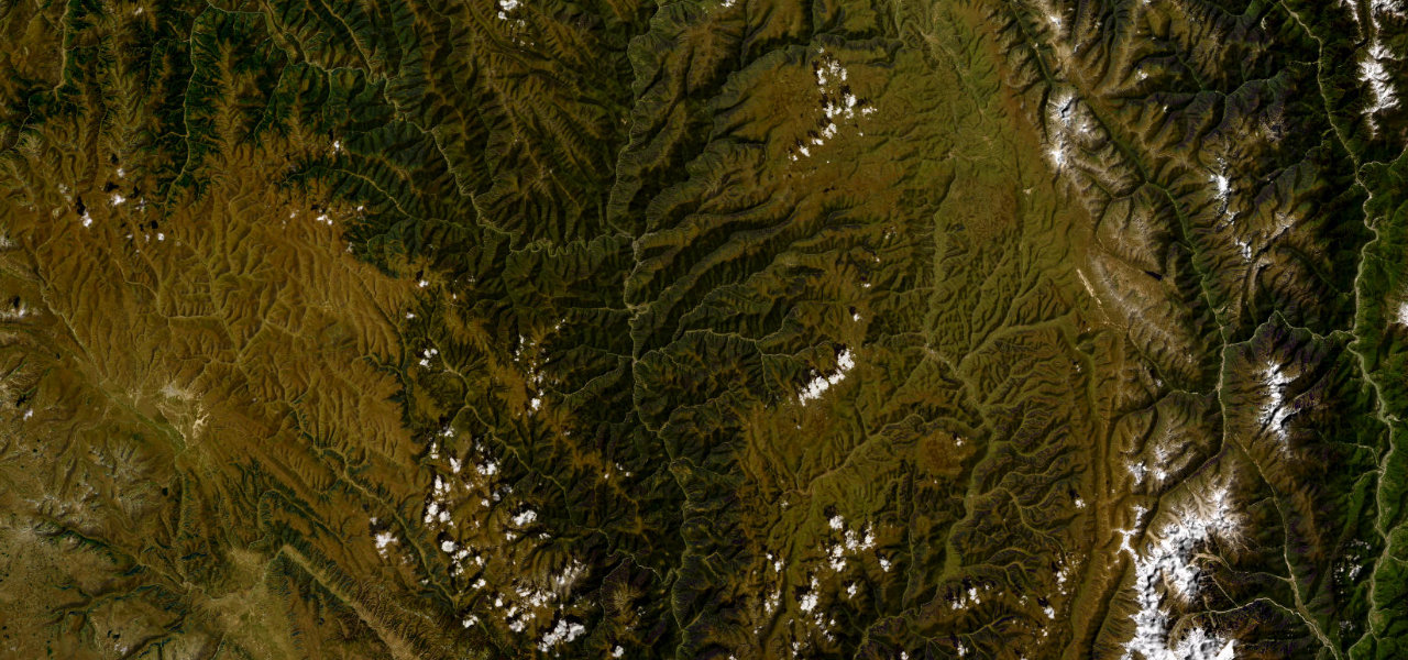
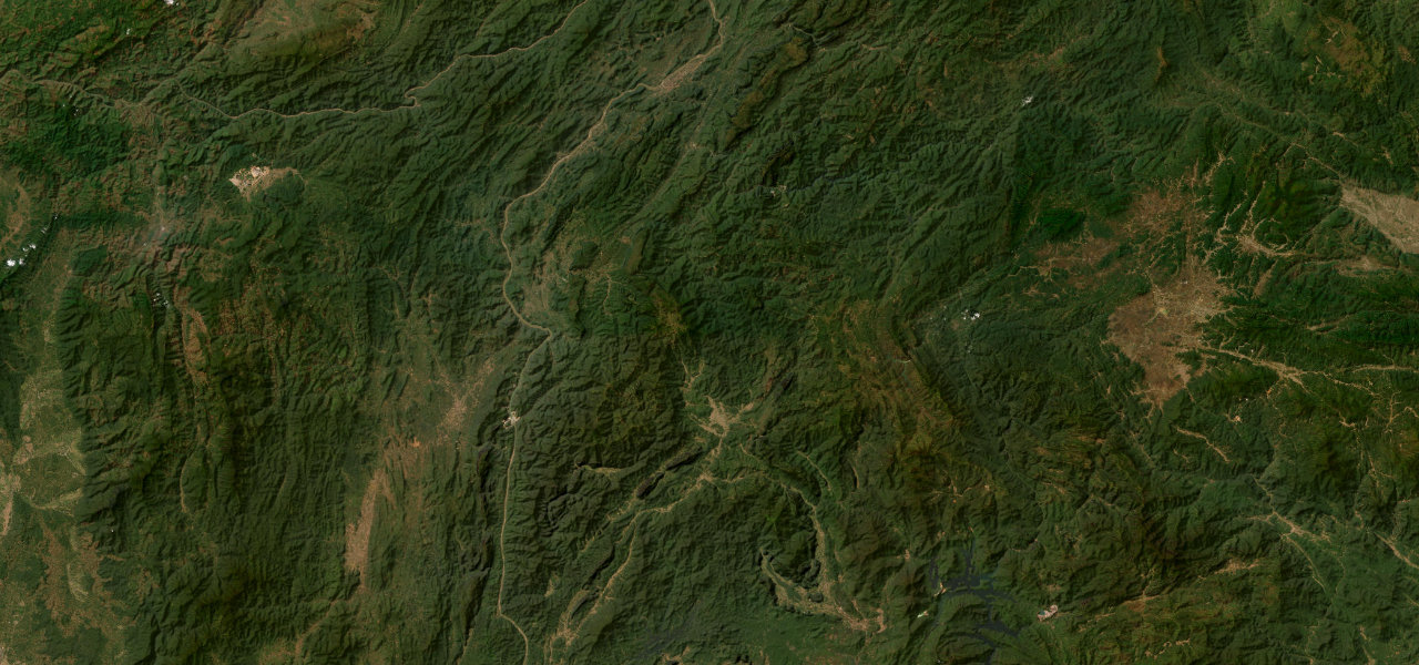
The mountain section of National Route 13 between Vang Vieng and Luang Prabang is one of Southeast Asia’s most dramatic highland drives, climbing from limestone karst to the 1,400 m Phoukhoune plateau before descending to the Mekong.
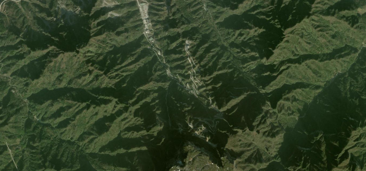
Heading north from Vang Vieng the road follows the Nam Song valley past karst towers before the gorges north of Kasi, where a 14 km ascent gains over 1,300 m on a narrow sealed road with back-to-back switchbacks and 20% grades. The Phoukhoune plateau opens at the top before the long, spectacular descent through forested ridges to the Mekong valley at Luang Prabang.
Scenery
Where it runs
Navigate to the start: Apple Maps · Google Maps
Character
Elevation
under 4%4–8%over 8%233 – 1,849 mPoints of interest
- Free point of viewViewpoint
- จุดชมวิว พระธาตุภูสีViewpoint
- 中餐Landmark
Hazards
- Sharp hairpin switchbacks with grades up to 20% between Kasi and Phoukhoune
- Heavy logging and trade trucks on a narrow road with no hard shoulders
- Dense fog and reduced visibility in the wet season
- Livestock and pedestrians crossing through villages
- Road washouts and landslides after heavy rain
- No road lighting, dangerous after dark
Sources: Road geometry © OpenStreetMap contributors
Nearby roads
The closest great drives to Route 13: Vang Vieng to Luang Prabang.