Luang Prabang · Laos
Route 1C to Nong Khiaw
1CPak Mong to Nong Khiaw
Distance18.5 mi30 km
Drive time37 minon the road
DifficultyModeratetightness 5 of 10
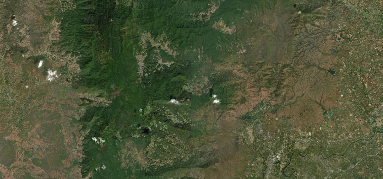
A short, sinuous run threading between towering limestone karst to the dramatic Nam Ou river gorge at Nong Khiaw, one of mainland Southeast Asia’s finest mountain approaches.
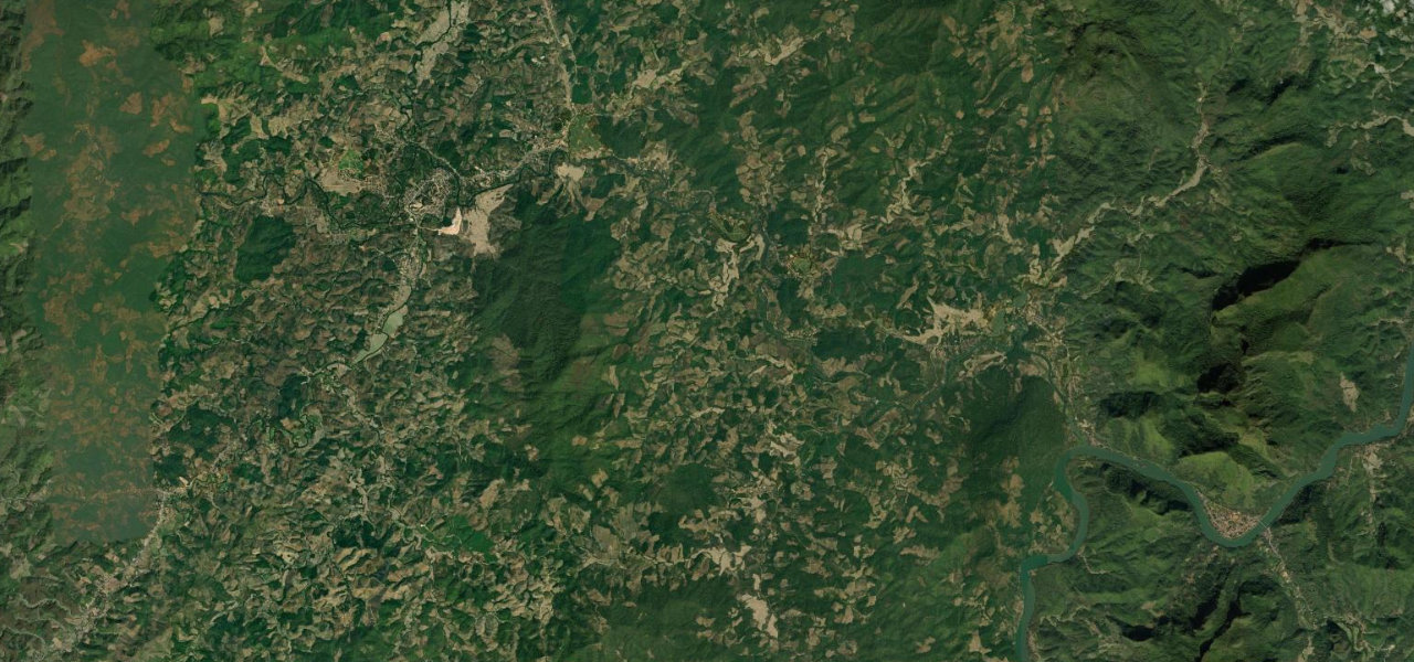
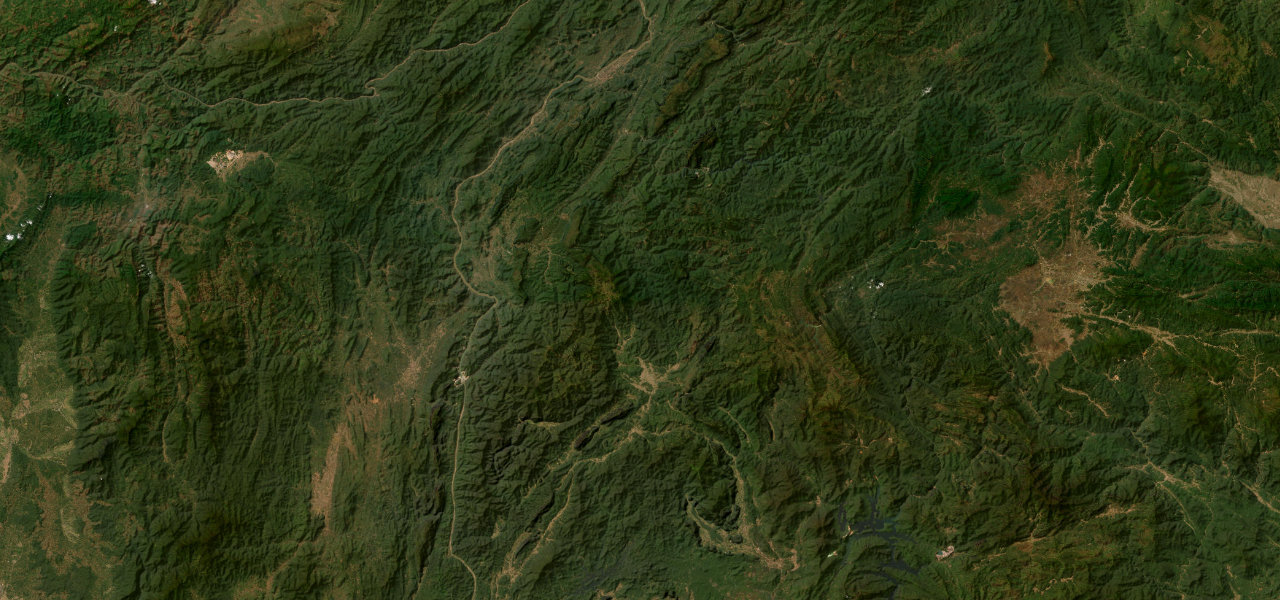
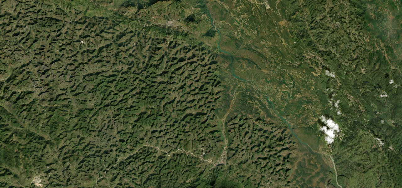
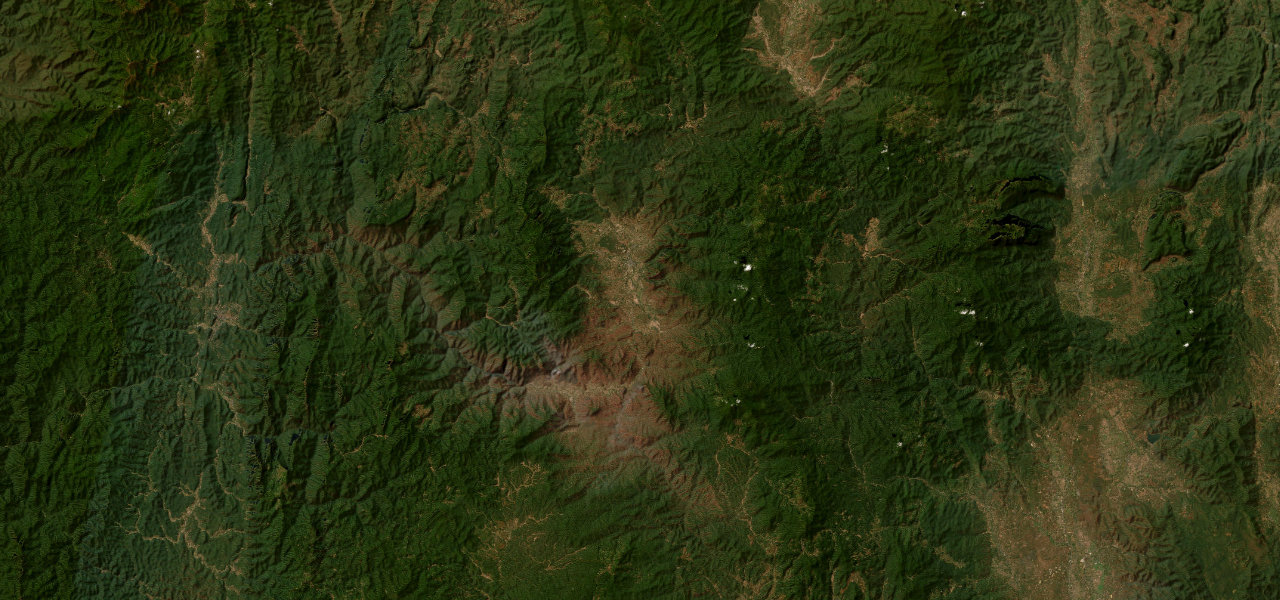
From the junction at Pak Mong the paved road curves east into a landscape of sheer limestone karst, the peaks rising abruptly from paddy and Hmong villages. The driving is flowing rather than frantic, but the scenery is relentless, building to the cliff-walled gorge of the Nam Ou where the road drops into Nong Khiaw beneath some of the most photographed mountains in Laos.
Scenery
MountainGorgeValley
Where it runs
Pak MongStart · Luang Prabang
Nong KhiawEnd · Luang Prabang
Navigate to the start: Apple Maps · Google Maps
Character
Corners12bends
Tightness5of 10
Max gradient9%≈ 1-in-11
Climb141 mtotal ascent
Summit409 mhighest point of the line · 1,342 ft
Elevation
under 4%4–8%over 8%332 – 409 mPoints of interest
- Endpoint: Hike to Nang None Mountain ViewViewpoint
- ທິວທັດພູນາງໂນນ 1Viewpoint
- Pha Bor CaveLandmark
Hazards
- Livestock and pedestrians in villages along the road
- Fog in the river valley early in the day
- Occasional rockfall below the karst cliffs
- Limited services between towns
Sources: Road geometry © OpenStreetMap contributors
Nearby roads
The closest great drives to Route 1C to Nong Khiaw.
Route 1C to Nong Khiaw
Directions