Central Vietnam · Vietnam
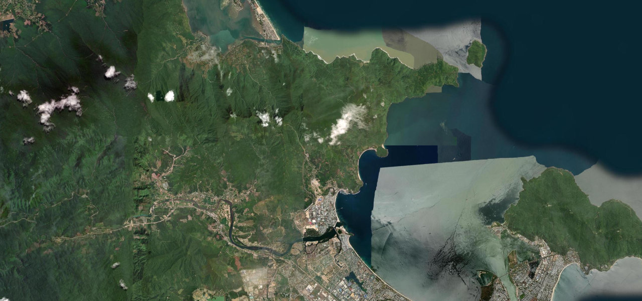
Hai Van Pass
QL1Da Nang to Lăng Cô
Distance14.6 mi23 km
Drive time31 minon the road
DifficultyEasytightness 6 of 10
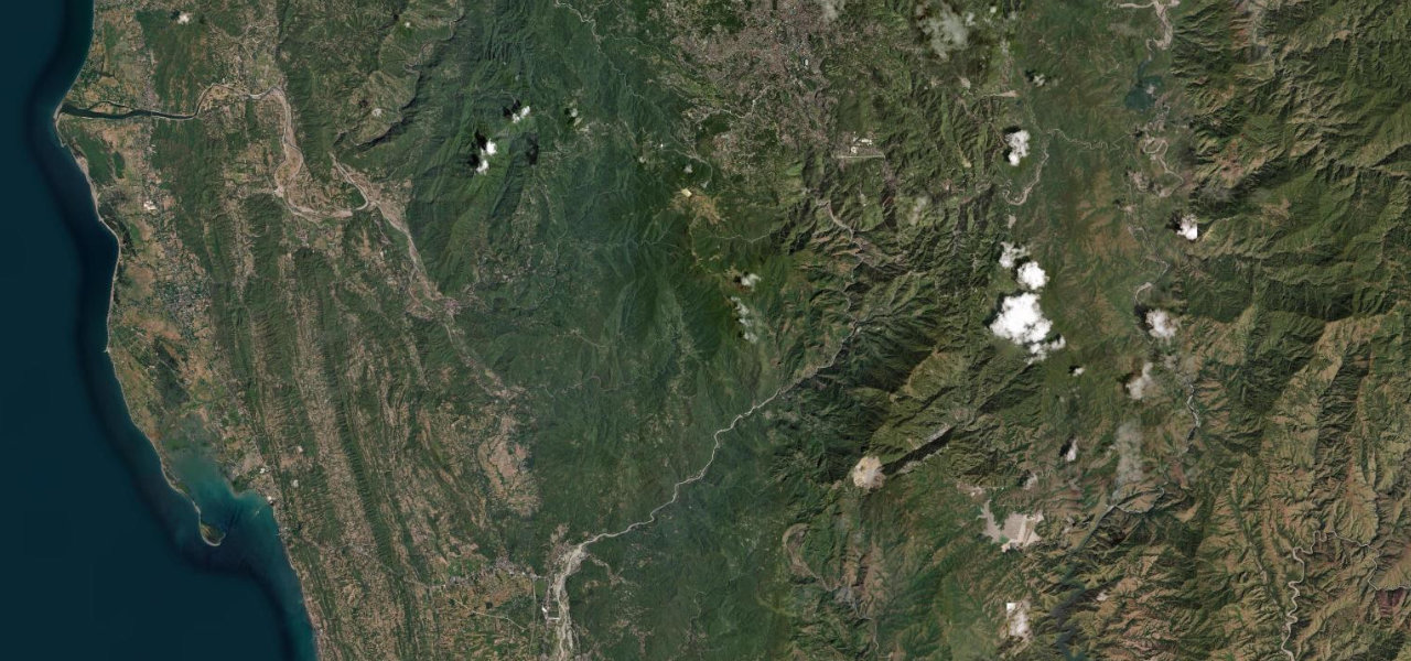
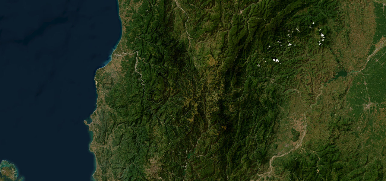
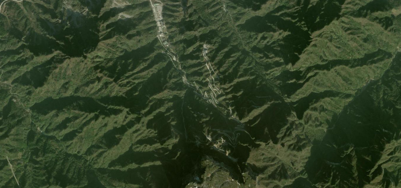
Vietnam’s most iconic coastal mountain pass, made world-famous by Top Gear, threading 21 km over a 496 m summit between Da Nang and Lăng Cô with the sea far below.
The old QL1 mountain road climbs from sea level at the Da Nang boundary, switchbacking through dense jungle to the French-era fortress at the 496 m summit, then descending in sweeping curves above a turquoise bay to the Lang Co lagoon. The tunnel bypass carries trucks; this road is almost entirely motorcycles and touring cars.
Scenery
CoastMountainForest
Where it runs
Da NangStart · Central Vietnam
Lăng CôEnd · Central Vietnam
Navigate to the start: Apple Maps · Google Maps
Character
Corners71bends
Tightness6of 10
Max gradient8%≈ 1-in-13
Hairpins3tight bends
Climb482 mtotal ascent
Summit498 mhighest point of the line · 1,634 ft
Elevation
under 4%4–8%over 8%1 – 498 mHazards
- hairpin bends
- cloud and mist reducing visibility
- tourist traffic
- motorcyclists
Sources: Road geometry © OpenStreetMap contributors
Nearby roads
The closest great drives to Hai Van Pass.
Hai Van Pass
Directions