Chiang Mai · Thailand
Doi Inthanon Summit Road
1009Chom Thong to Doi Inthanon Summit
Distance29.0 mi47 km
Drive time58 minon the road
DifficultyModeratetightness 5 of 10
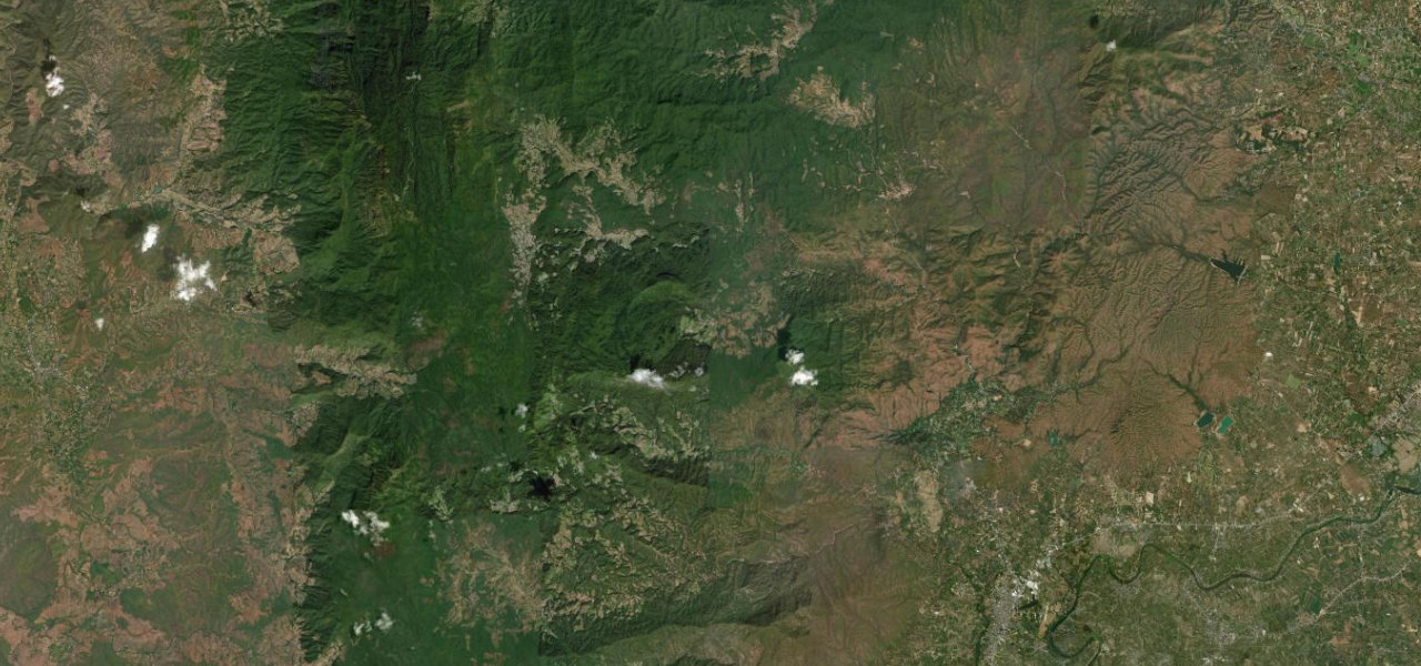
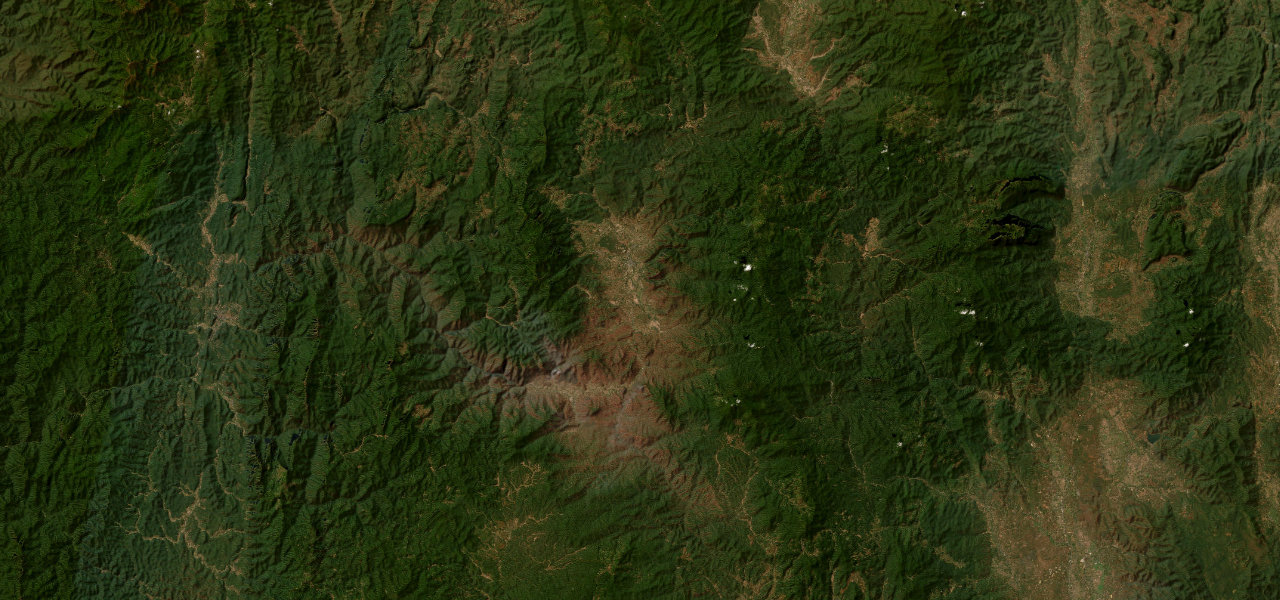
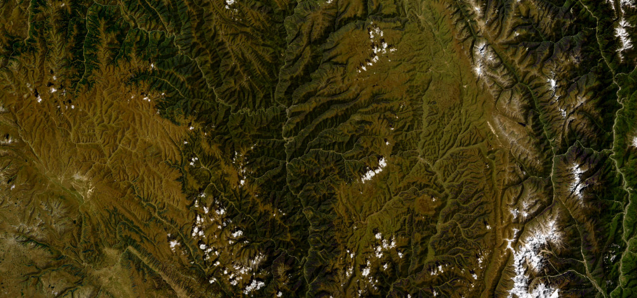
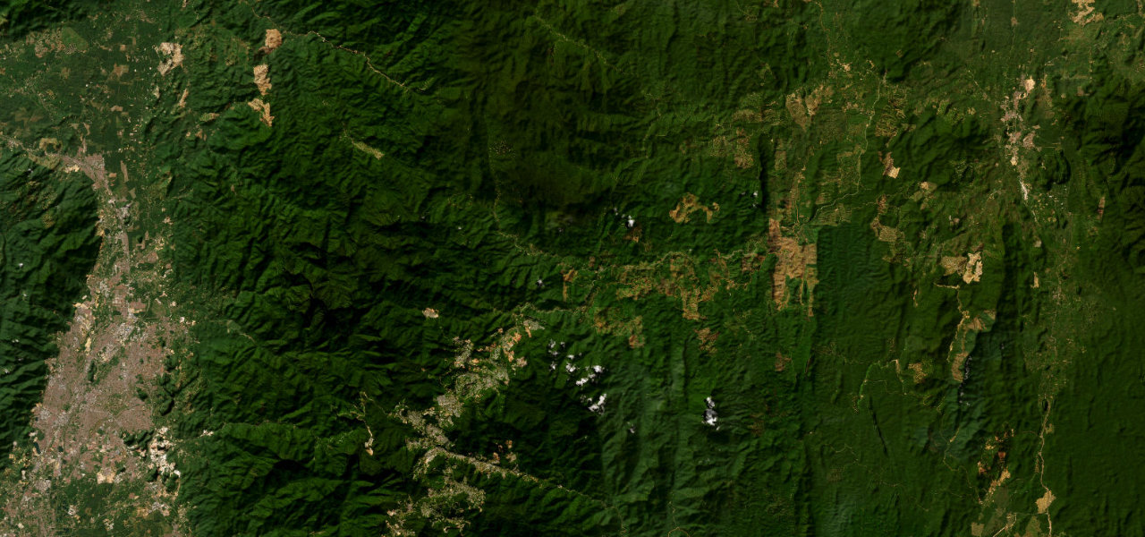
Route 1009 is the only paved road to the summit of Doi Inthanon, Thailand’s highest peak at 2,565 m, climbing 48 km through tropical, pine and rare montane cloud forest.
Turn off Highway 108 at Chom Thong and climb steadily past the Mae Klang and Wachirathan waterfalls to the Twin Royal Pagodas near the top, then the summit car park. Well-surfaced throughout; at the top the temperature can be 15C cooler than Chiang Mai, with frost on winter mornings.
Where it runs
Chom ThongStart · Chiang Mai
Doi Inthanon SummitEnd · Chiang Mai
Navigate to the start: Apple Maps · Google Maps
Character
Corners56bends
Tightness5of 10
Max gradient13%≈ 1-in-8
Climb2,278 mtotal ascent
Summit2,557 mhighest point of the line · 8,389 ft
Elevation
under 4%4–8%over 8%284 – 2,557 mHazards
- sustained steep gradient on the descent
- summit frost on December-January nights
- cloud and fog at the summit in the wet season
- high visitor volume
Sources: Road geometry © OpenStreetMap contributors
Nearby roads
The closest great drives to Doi Inthanon Summit Road.
Doi Inthanon Summit Road
Directions