Bumthang–Mongar · Bhutan
Thrumshing La Road
NH1Ura to Mongar
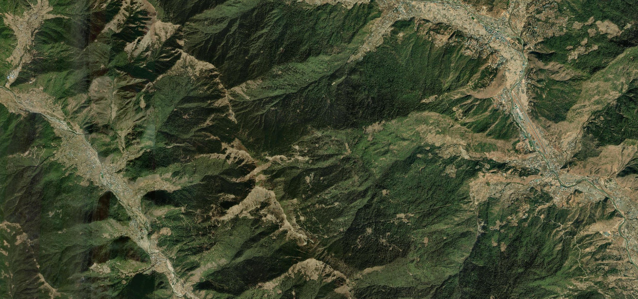
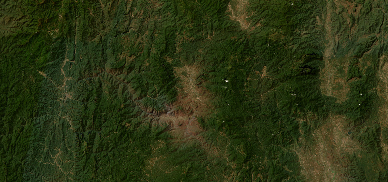
The Lateral Road over Thrumshing La, at 3,780 m the second-highest pass in Bhutan, falling more than 3,000 m down a wall of cliff-hugging switchbacks from alpine forest into subtropical valleys.
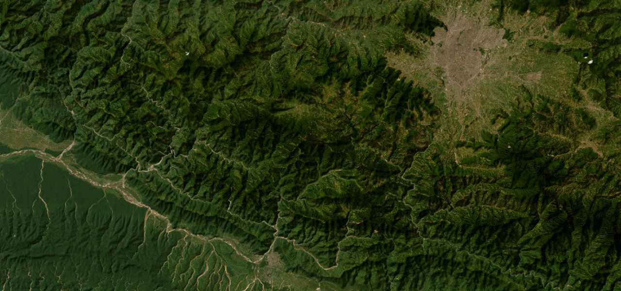
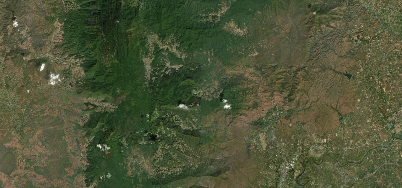
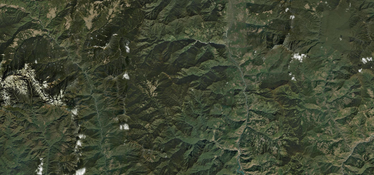
East of Ura the road winds up through fir and rhododendron to the prayer-flagged saddle of Thrumshing La at 3,780 m, the gateway between central and eastern Bhutan. The eastern descent is the drama: a relentless, narrow, guardrail-free shelf carved into near-vertical cliffs, looping down through Sengor and past the Namling waterfall, transitioning from cloud forest to warm, orange-growing valleys before reaching Mongar. It is one of the most sustained and exposed mountain descents on the Bhutanese Lateral Road.
Scenery
Featured in these guides
Where it runs
Navigate to the start: Apple Maps · Google Maps
Character
More hairpins than 9 in 10 roads · higher than 9 in 10 roads in the catalogue.
Elevation
under 4%4–8%over 8%583 – 3,735 mPoints of interest
- ཁྲུམས་ཤིང་ལ་Viewpoint
- Mongar ChortenLandmark
Hazards
- Narrow carriageway with sheer unguarded drops
- Rockfall and landslides, especially in the monsoon
- Road may close in winter due to snow and ice at the pass
- Acute altitude effects possible near the 3,780 m summit
- Fog and low cloud reduce visibility on the descent
See the typical season and live conditions for the high passes ›
Sources: Road geometry © OpenStreetMap contributors
Nearby roads
The closest great drives to Thrumshing La Road.