Paro–Haa · Bhutan
Chele La
SNH6Paro to Haa
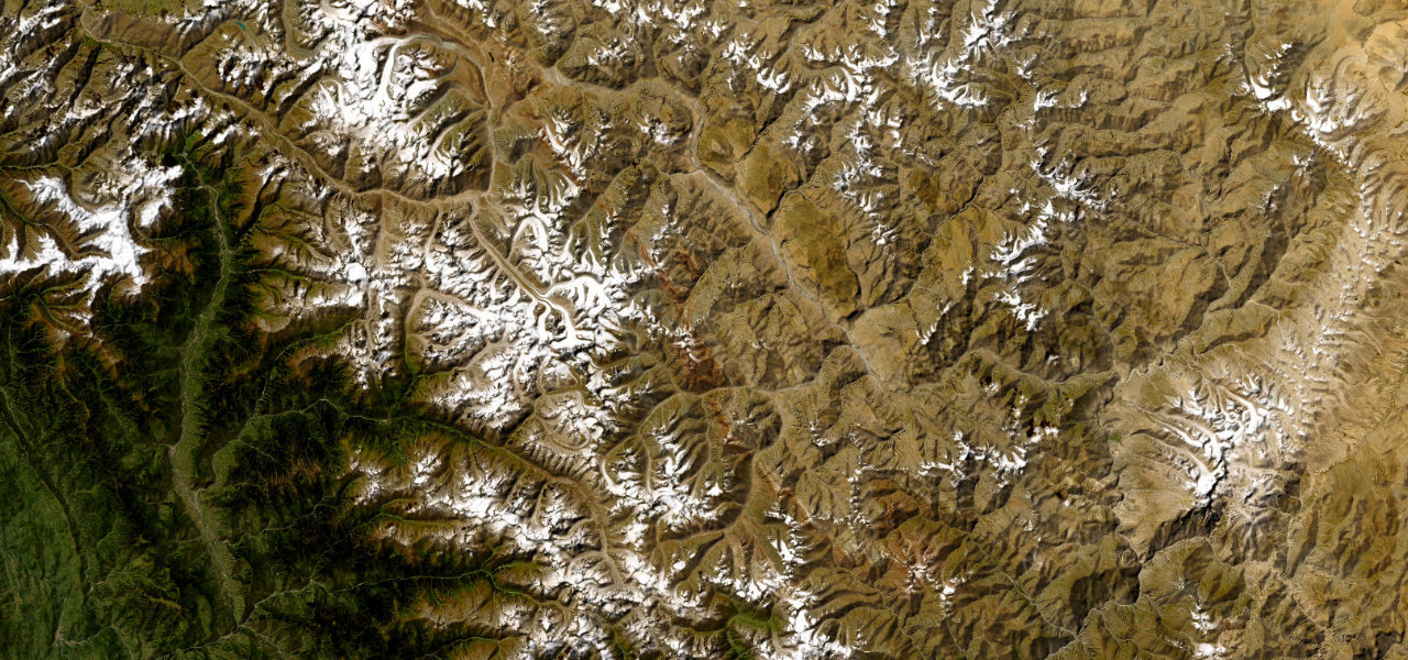
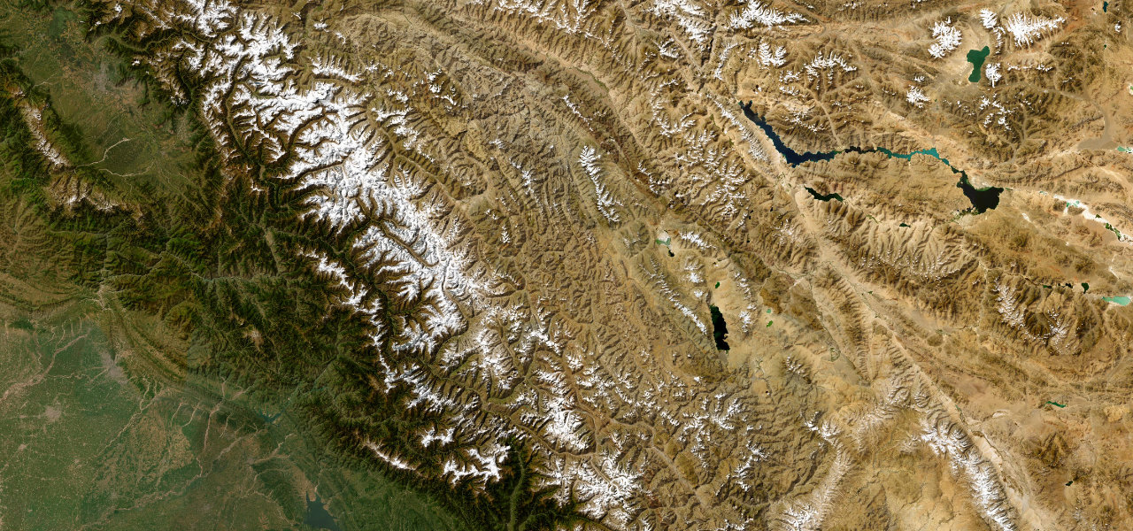
At 3,988 m, the Chele La is the highest motorable pass in Bhutan, carrying the road over the ridge between the Paro valley and the remote Haa valley, with views of Jomolhari on clear days.
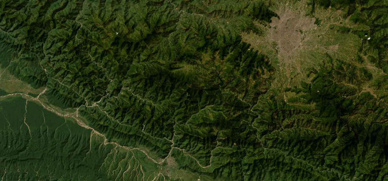
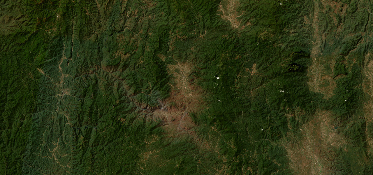
The route leaves Paro via Bondey and climbs on narrow, steep asphalt with continuous hairpins, dense pine, oak and rhododendron forest lining both sides. Prayer flags and a stone shelter mark the 3,988 m summit ridge; the descent into Haa is equally steep into a quiet, undeveloped valley that stayed closed to tourists until 2002.
Where it runs
Navigate to the start: Apple Maps · Google Maps
Character
More hairpins than 9 in 10 roads · higher than 9 in 10 roads in the catalogue.
Elevation
under 4%4–8%over 8%2,250 – 3,779 mPoints of interest
- Chele-laViewpoint
- Yak MonumentLandmark
- Haa Wangchuk LoDzongLandmark
Hazards
- Road may close in winter due to heavy snowfall and ice
- Avalanche risk on exposed sections near the summit
- Narrow carriageway with sharp turns and sheer unguarded drops
- Acute altitude effects possible at the 3,988 m summit
See the typical season and live conditions for the high passes ›
Sources: Road geometry © OpenStreetMap contributors
Nearby roads
The closest great drives to Chele La.