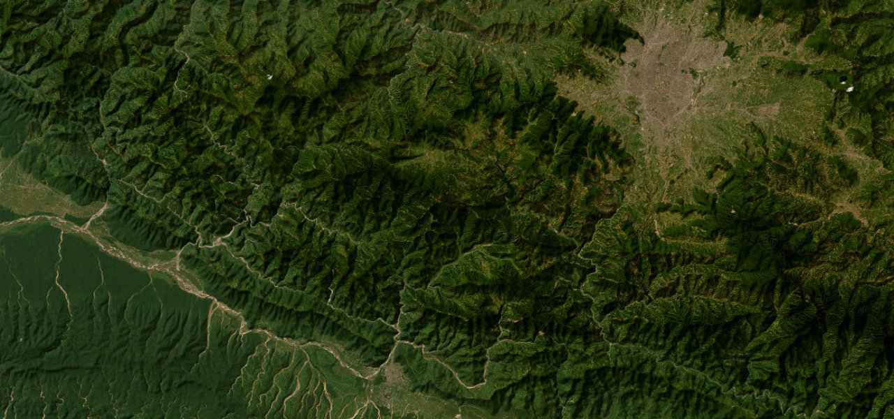
Sichuan · China
Sichuan–Tibet Highway
G318Kangding to Litang
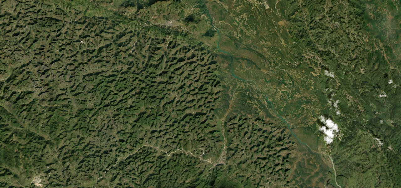
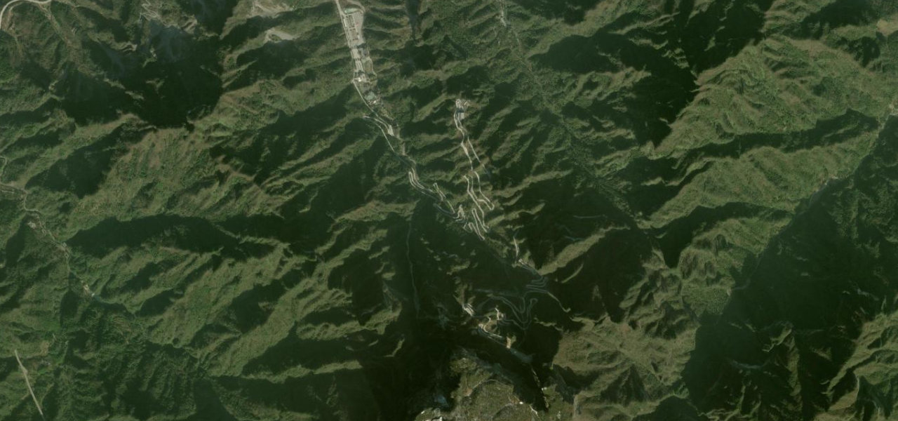
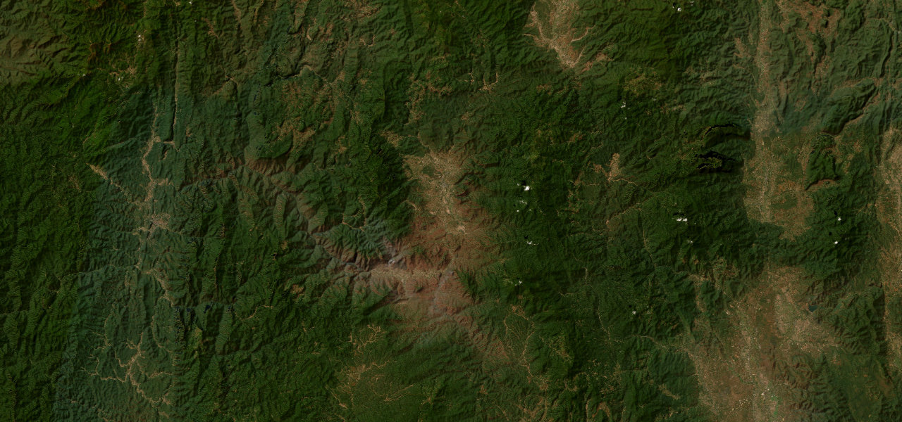
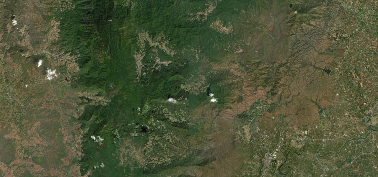
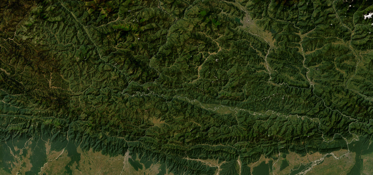
This 285 km section of G318 climbs from the Tibetan gateway town of Kangding over the Zheduo Pass (4,298 m) across the grasslands of Kham to Litang, one of the world’s highest towns, crossing the cultural boundary into the Tibetan plateau in a day.
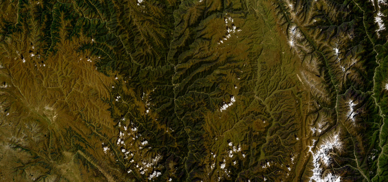
From Kangding (2,560 m) the road climbs 21 switchbacks to Zheduo Pass at 4,298 m, the First Pass of Kham, then descends to Xinduqiao, the Photographer’s Paradise of Tibetan farmhouses and poplars. It winds through Yajiang gorge before a long ascent to the Litang plateau at 3,950 m, lined with monasteries, prayer-flag ridges and yak herds.
Where it runs
Navigate to the start: Apple Maps · Google Maps
Character
More hairpins than 9 in 10 roads · higher than 9 in 10 roads in the catalogue.
Elevation
under 4%4–8%over 8%2,510 – 4,437 mHazards
- altitude sickness above 4,000 m
- rockfall and landslides in the June-July rains
- sudden snow at the passes
- yaks and livestock on the road
- poor mobile signal
- sparse fuel and services
Sources: Road geometry © OpenStreetMap contributors
Nearby roads
The closest great drives to Sichuan–Tibet Highway.