Hà Giang · Vietnam
Ma Pi Leng Pass
QL4CĐồng Văn to Mèo Vạc
Distance14.7 mi24 km
Drive time34 minon the road
DifficultyDemandingtightness 8 of 10
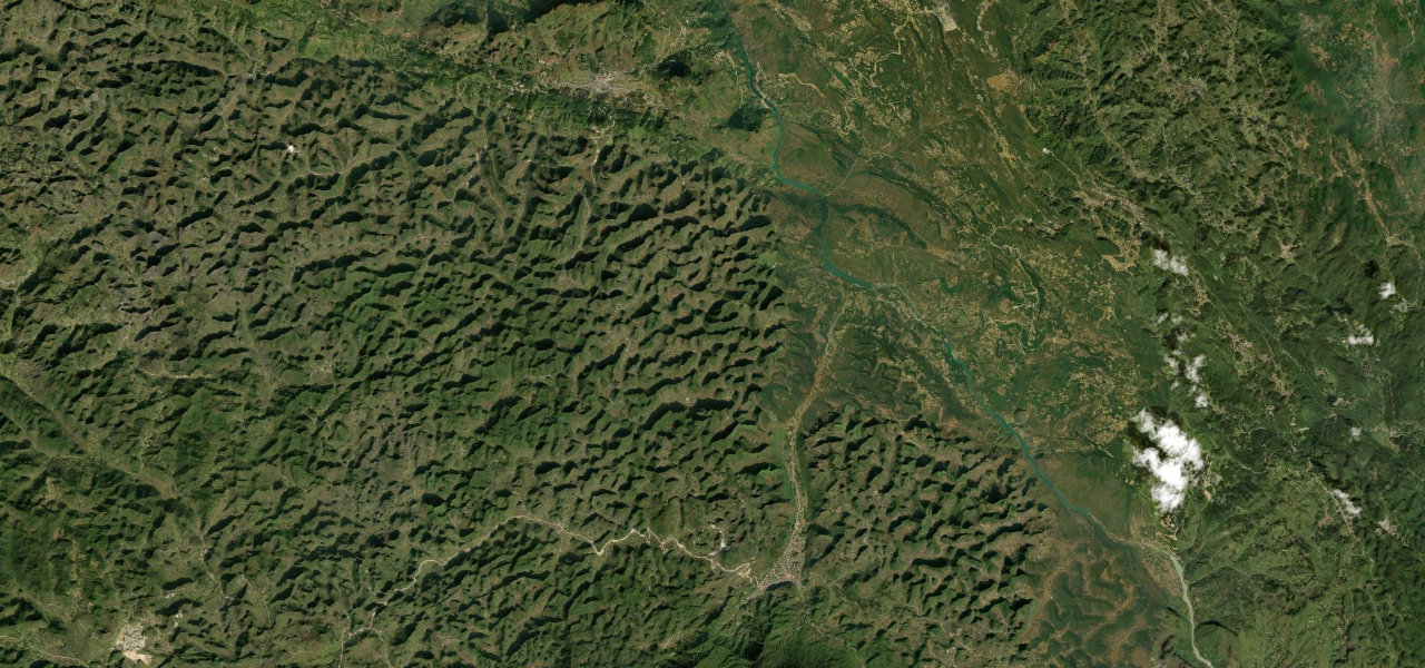
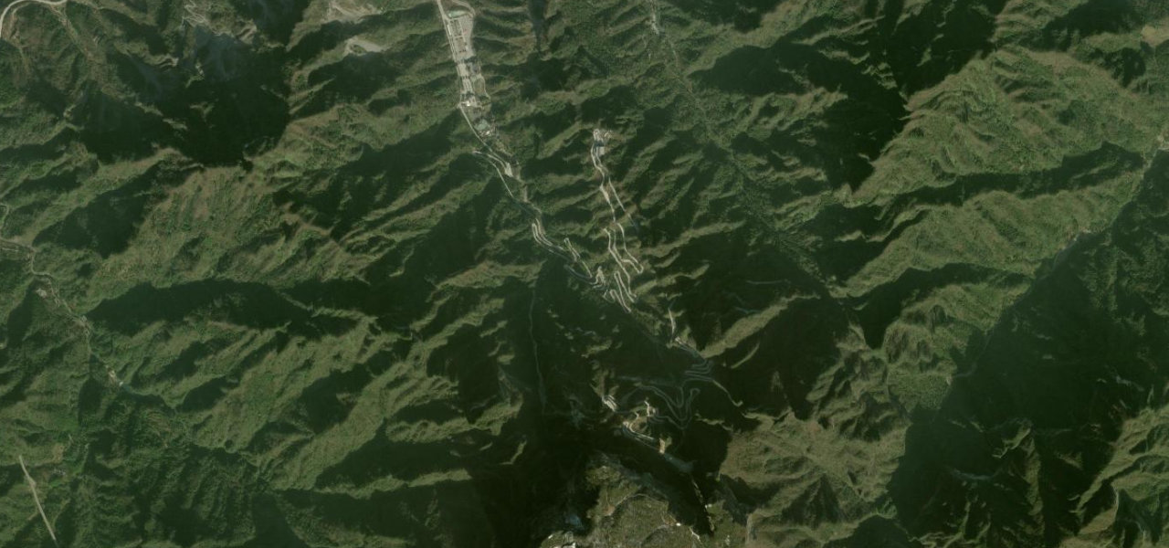
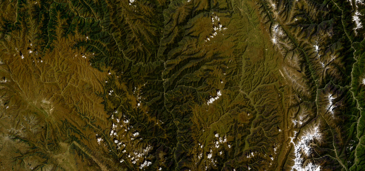
The 'King of Vietnamese Passes', a 22 km edge-of-the-world road across the Dong Van Karst Plateau hanging above the Nho Que River gorge, one of Southeast Asia’s deepest canyons, 800 m below.
Part of the Ha Giang Loop, QL4C carves through near-vertical limestone karst from Dong Van to Meo Vac, the pass crest at 1,500 m giving a vertiginous view into the Tu San canyon where the jade-green Nho Que runs beneath sheer cliffs. Nine hairpins negotiate the steepest section; the road is narrow, largely unguarded, and crosses a UNESCO Global Geopark.
Scenery
GorgeMountainValley
Where it runs
Đồng VănStart · Hà Giang
Mèo VạcEnd · Hà Giang
Navigate to the start: Apple Maps · Google Maps
Character
Corners97bends
Tightness8of 10
Max gradient17%≈ 1-in-6
Hairpins13tight bends
Climb575 mtotal ascent
Summit1,261 mhighest point of the line · 4,137 ft
Elevation
under 4%4–8%over 8%902 – 1,261 mHazards
- sheer cliff drops of 800 m with minimal barriers
- hairpin bends
- fog
- landslides in the wet season
- remote location
Sources: Road geometry © OpenStreetMap contributors
Nearby roads
The closest great drives to Ma Pi Leng Pass.
Ma Pi Leng Pass
Directions