Bagmati Province · Nepal
Tribhuvan Highway
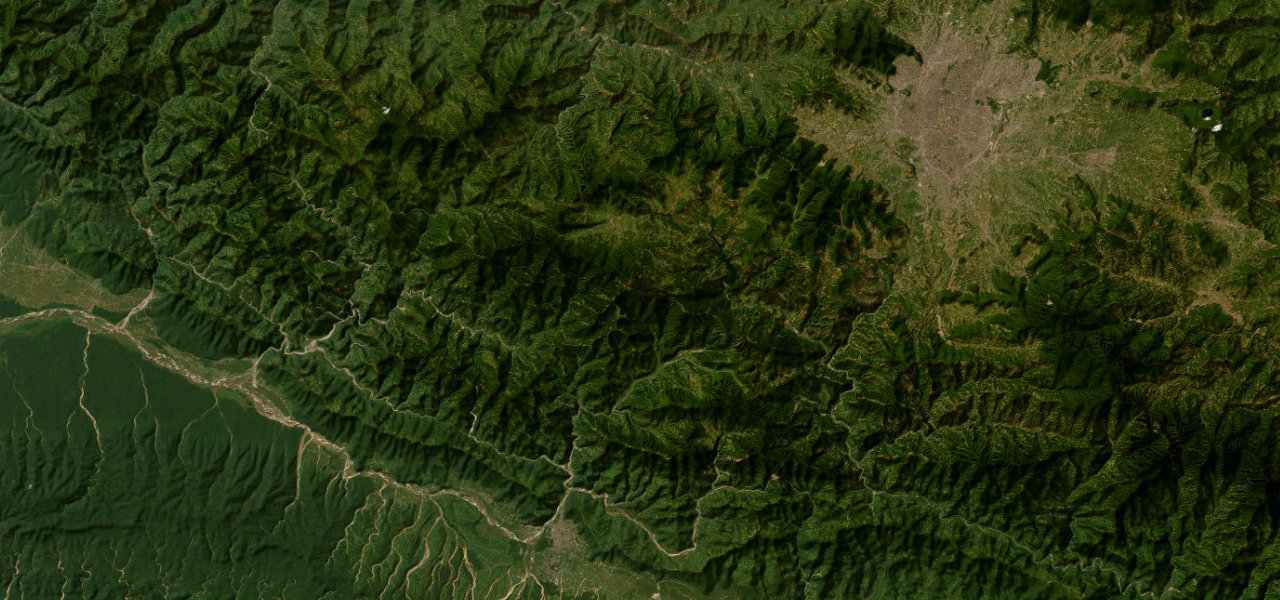
NH41Naubise to Hetauda
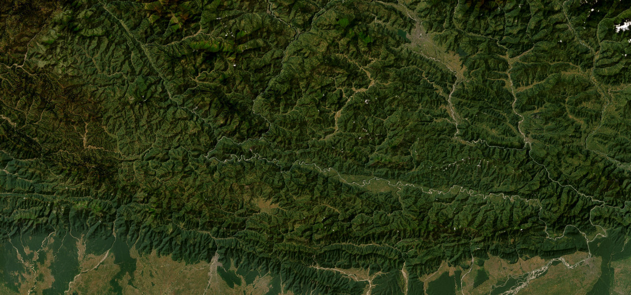
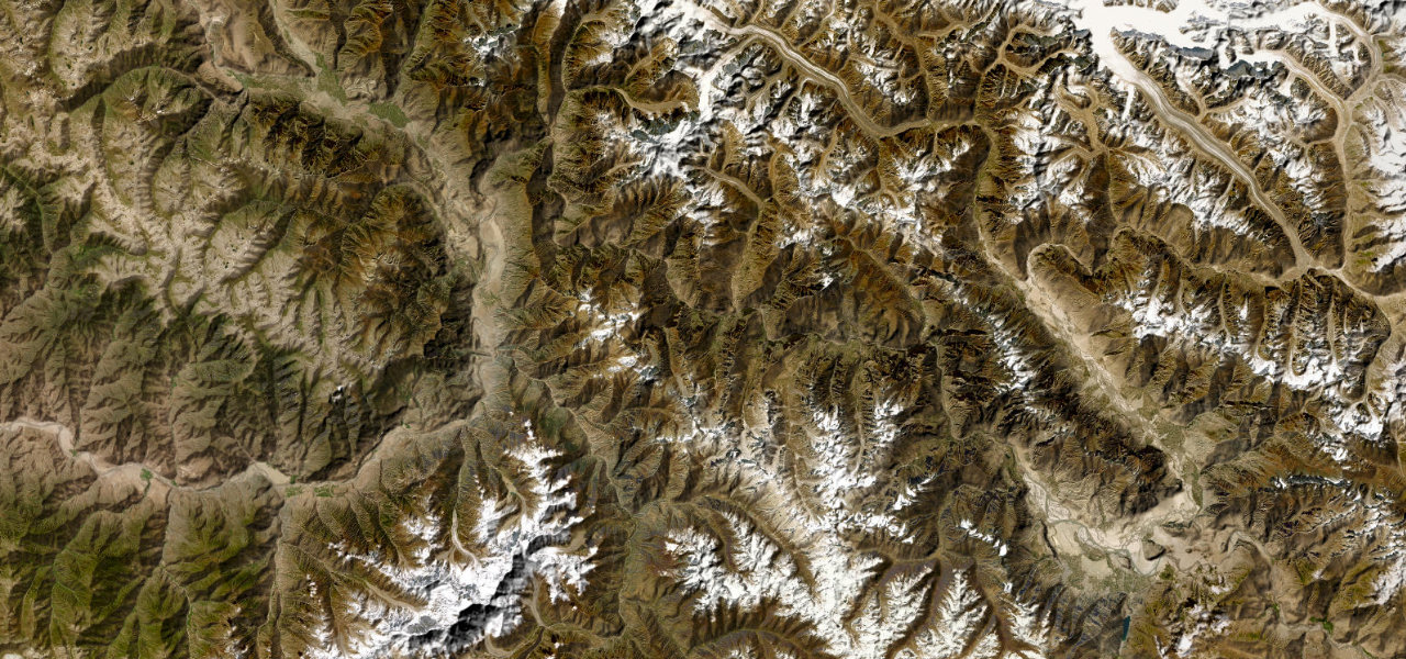
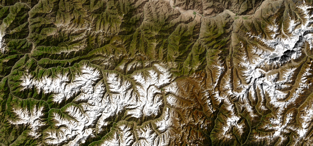
Nepal’s oldest national highway climbs through the Mahabharata Range in a relentless series of hairpins to Daman, widely regarded as the finest Himalaya viewpoint in the country.
From Naubise west of Kathmandu the Rajpath ascends through dense forest in tight hairpins — 107 km of switchbacks for just 32 km as the crow flies. The crown is Daman at 2,322 m, with a full Himalayan panorama from Dhaulagiri to Kanchenjunga, before the long descent through the Siwalik Hills to Hetauda. Still one of Nepal’s toughest drives.
Scenery
Where it runs
Navigate to the start: Apple Maps · Google Maps
Character
More hairpins than 9 in 10 roads in the catalogue.
Elevation
under 4%4–8%over 8%461 – 2,490 mHazards
- narrow roads
- sharp bends
- steep descents
- landslides
- monsoon road damage
Sources: Road geometry © OpenStreetMap contributors
Nearby roads
The closest great drives to Tribhuvan Highway.