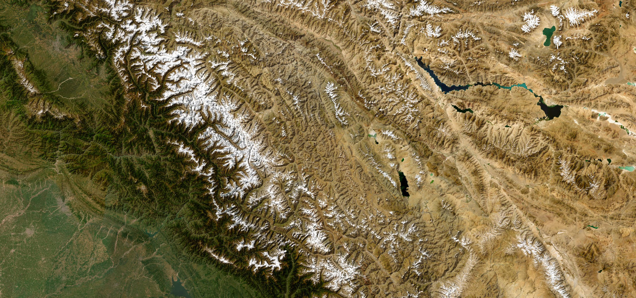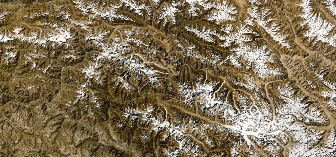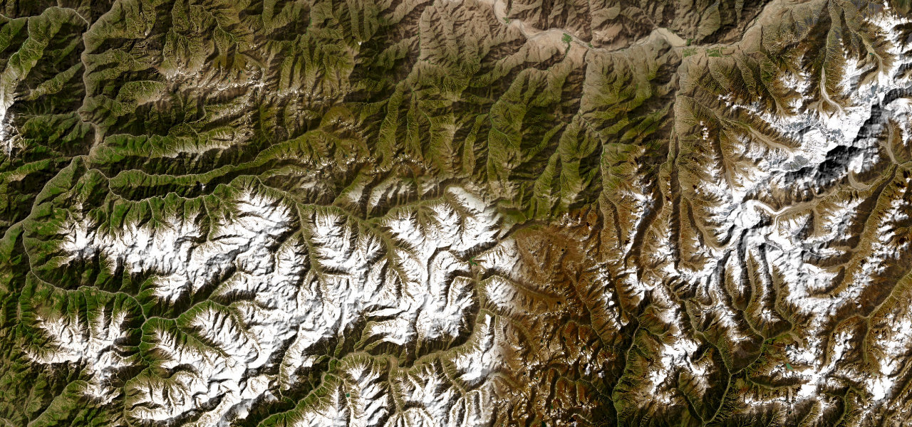
Ladakh · India
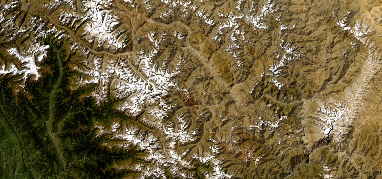
Khardung La
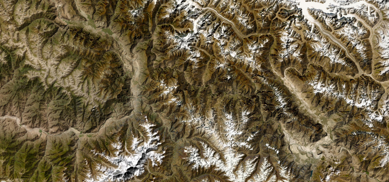
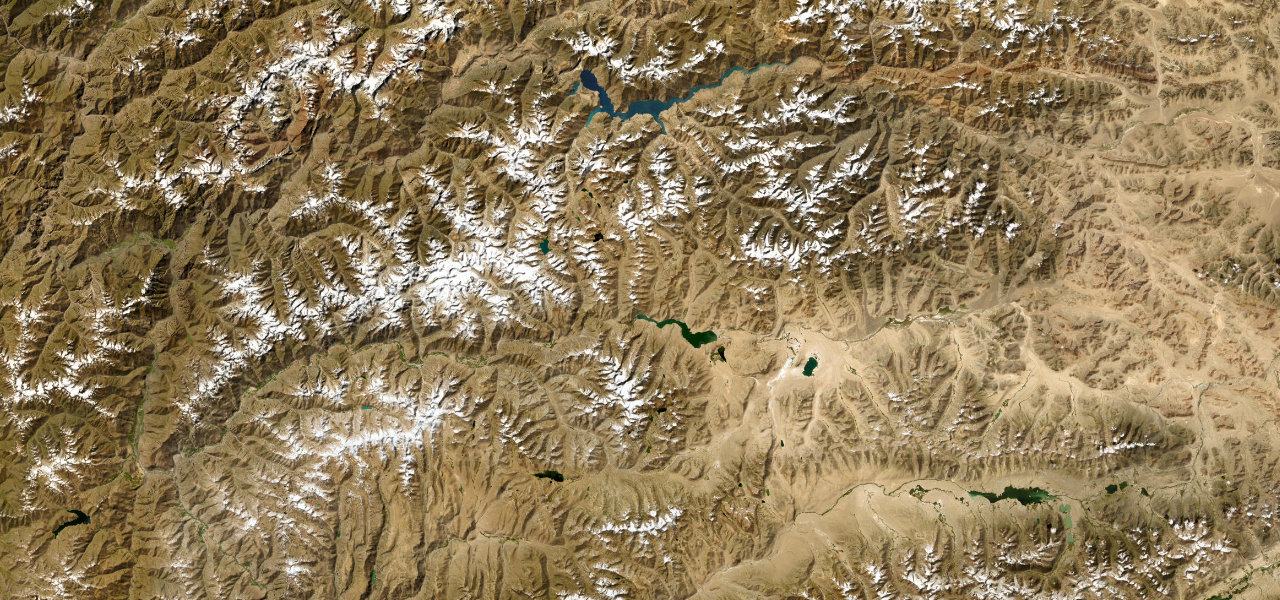
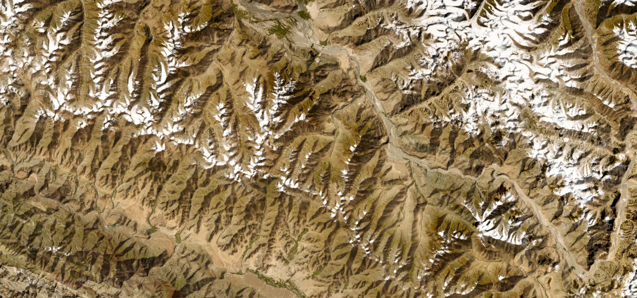
Leh to Diskit, Nubra Valley
The road over Khardung La (5,359 m) is one of the world’s highest motorable passes, a stunning arc from the Indus Valley at Leh over the Ladakh Range into the sand-dune wilderness of Nubra.
From Leh the road climbs 40 km through the South Pullu checkpoint to the summit at 5,359 m, asphalted to South Pullu then loose gravel near the top. The descent follows the same pattern to North Pullu before the surface improves down to Khalsar and Diskit in the Nubra Valley. Traffic flows on a timed one-way system in peak season; the road is run by the Border Roads Organisation and carries no highway number.
Where it runs
Navigate to the start: Apple Maps · Google Maps
Character
More hairpins than 9 in 10 roads · higher than 9 in 10 roads in the catalogue.
Elevation
under 4%4–8%over 8%3,110 – 5,338 mHazards
- altitude sickness above 5,000 m
- loose gravel and dirt between South and North Pullu
- timed one-way traffic windows
- sudden weather changes
- extreme remoteness
Sources: Road geometry © OpenStreetMap contributors
Nearby roads
The closest great drives to Khardung La.