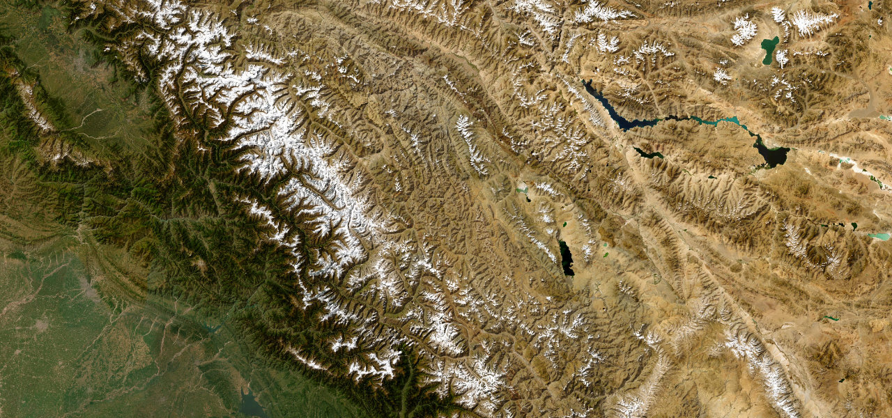
Khyber Pakhtunkhwa / Gilgit-Baltistan · Pakistan
Babusar Pass
N-15Naran to Chilas
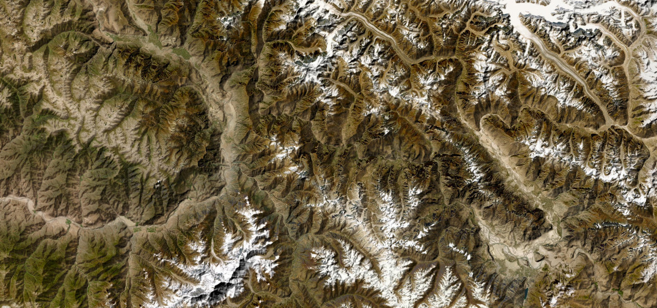
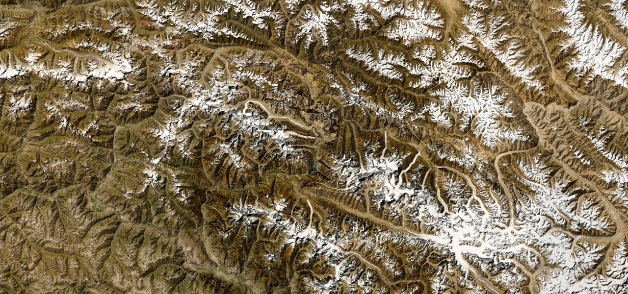
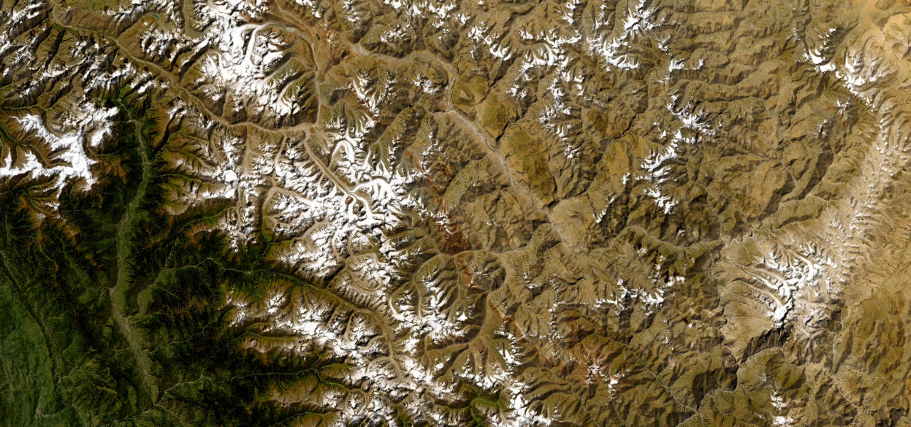
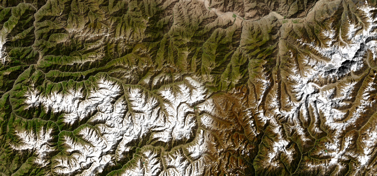
One of the most hairpinned roads in the world, cresting the 4,173 m Babusar Pass above the clouds with Nanga Parbat on the horizon.
The N-15 climbs from the Kaghan Valley resort of Naran through relentless switchbacks to Babusar Pass at 4,173 m, the highest paved point in Khyber Pakhtunkhwa, before descending to the Indus at Chilas. The summit plateau offers wide alpine meadows and unobstructed views of Nanga Parbat; open only late April to September.
Scenery
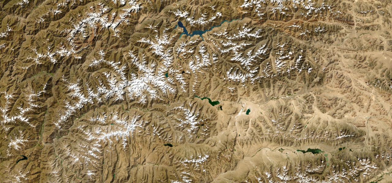
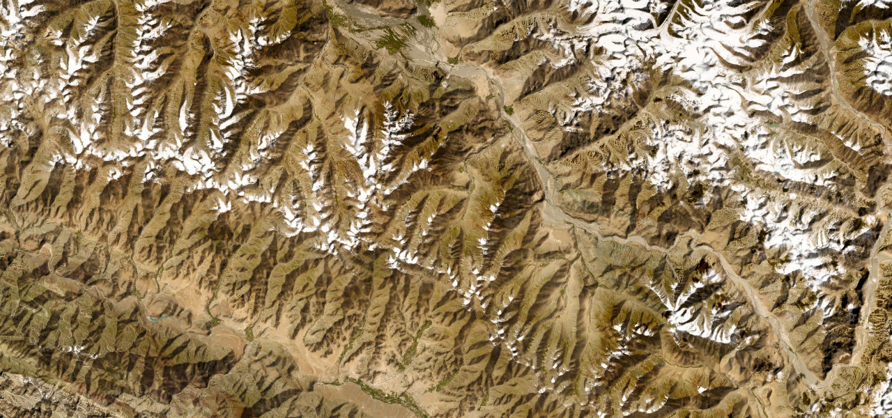
Where it runs
Navigate to the start: Apple Maps · Google Maps
Character
More hairpins than 9 in 10 roads · higher than 9 in 10 roads in the catalogue.
Elevation
under 4%4–8%over 8%1,119 – 4,151 mHazards
- seasonal closure October to April
- narrow road
- sheer drops
- sharp hairpins
- rockfall
- sudden weather changes
See the typical season and live conditions for the high passes ›
Sources: Road geometry © OpenStreetMap contributors
Nearby roads
The closest great drives to Babusar Pass.