Gilgit-Baltistan · Pakistan
Gilgit–Skardu Road
S-1Gilgit to Skardu
Distance128.0 mi206 km
Drive time4 h 29 minon the road
DifficultyDemandingtightness 6 of 10
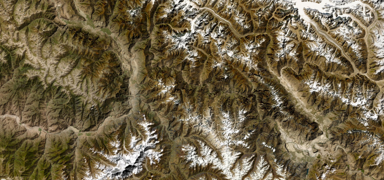
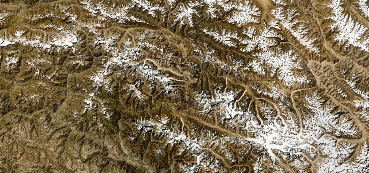
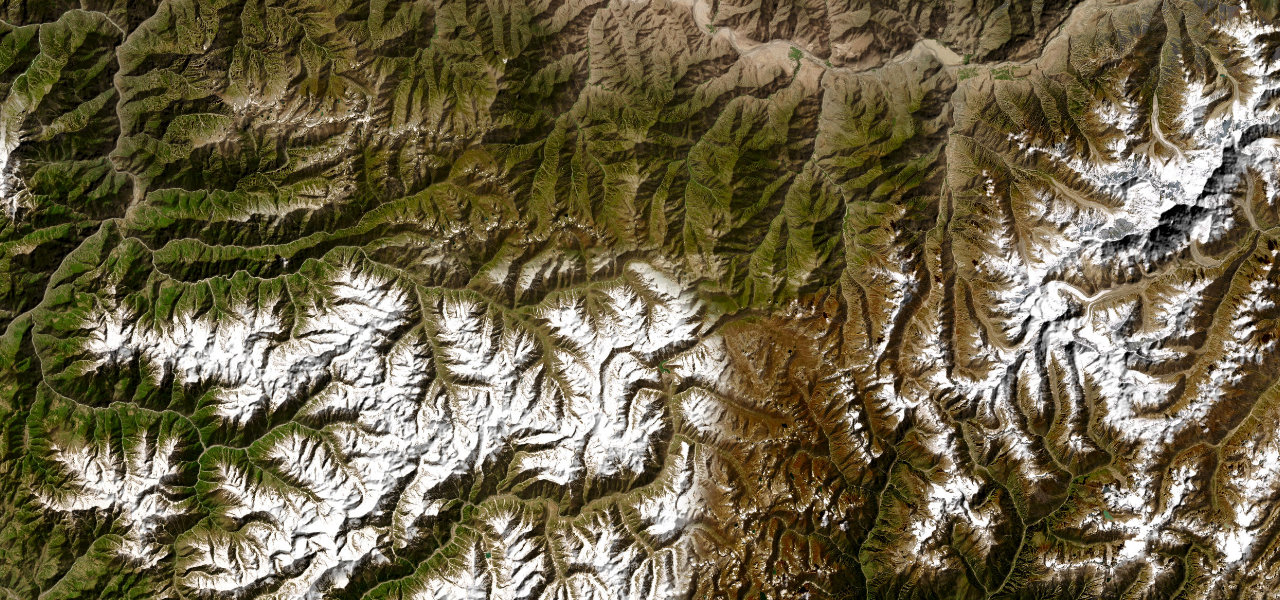
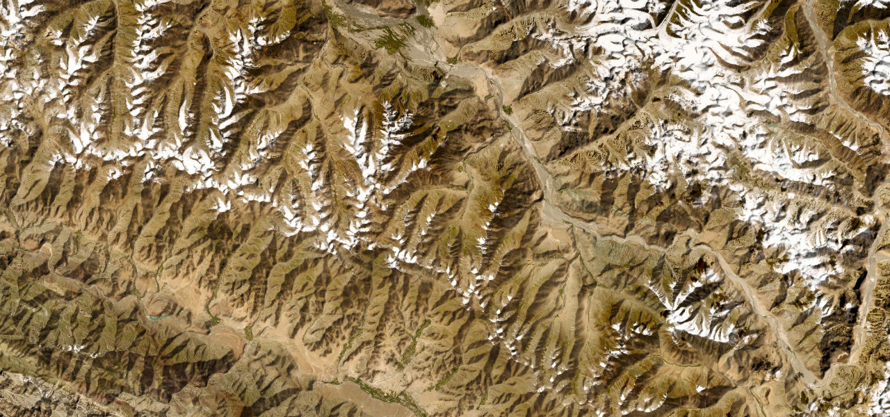
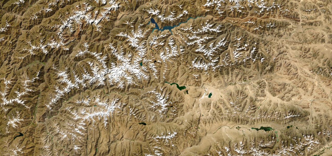
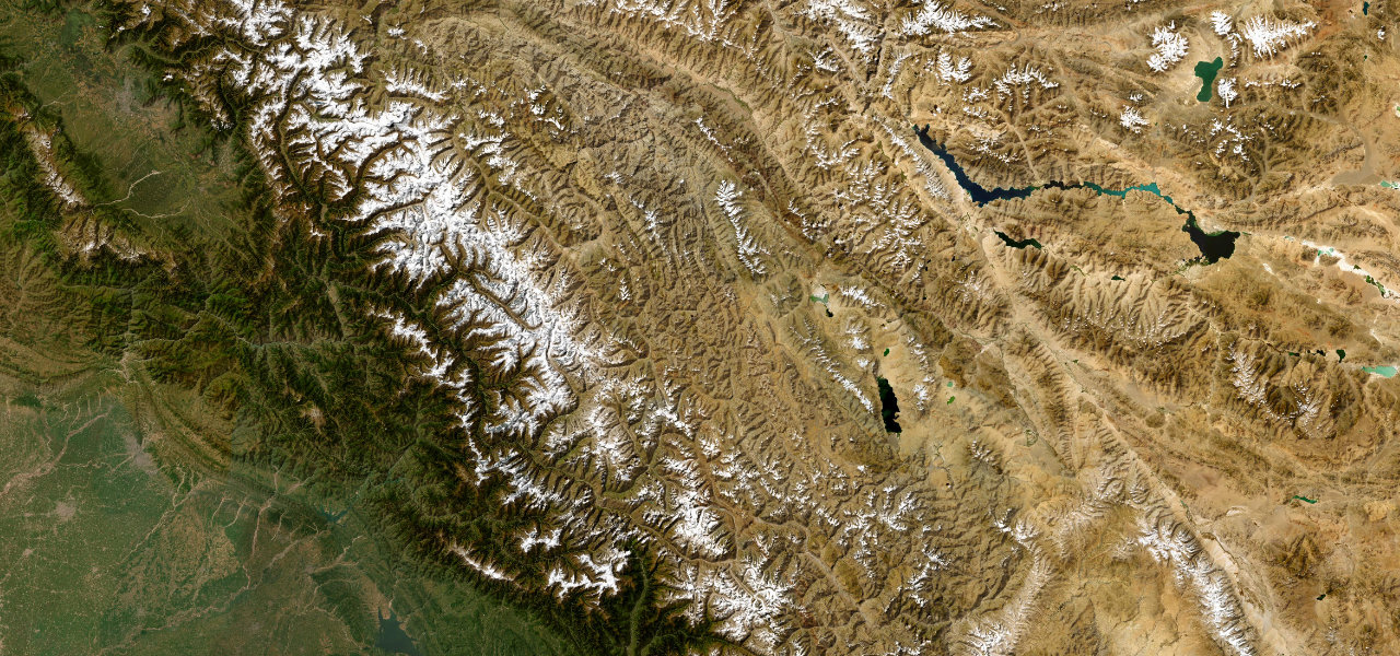
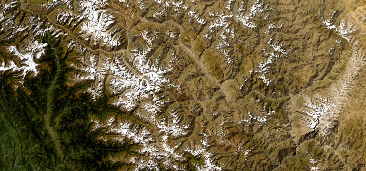
Carved into the cliffs above the roaring Indus, this nerve-racking gorge drive is the sole road link between Skardu and the outside world.
Highway S-1 follows the Indus gorge for 167 km between Gilgit and Skardu, the gateway to K2. Blasted into vertical cliff faces with sheer drops to the river, it was paved by 2021 but still closes for landslides. It is the only major route connecting Baltistan with the rest of Pakistan.
Scenery
GorgeMountainValley
Where it runs
GilgitStart · Gilgit-Baltistan
SkarduEnd · Gilgit-Baltistan
Navigate to the start: Apple Maps · Google Maps
Character
Corners182bends
Tightness6of 10
Max gradient13%≈ 1-in-8
Hairpins3tight bends
Climb1,251 mtotal ascent
Summit2,282 mhighest point of the line · 7,487 ft
Elevation
under 4%4–8%over 8%1,297 – 2,282 mHazards
- landslides
- narrow road
- sheer drops to the Indus
- rockfall
- no barriers
Sources: Road geometry © OpenStreetMap contributors
Nearby roads
The closest great drives to Gilgit–Skardu Road.
Gilgit–Skardu Road
Directions