
 Country guide
The best driving roads in Pakistan
All 3 driving roads in Pakistan on one interactive map, including 1 world icon, each with its route, climb and best seasons.
Roads31 world icon
Combined352 mi566 km of driving
High point4,175 m13,698 ft
The roads
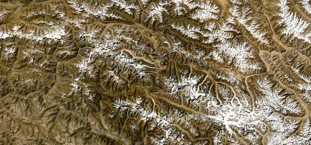 Karakoram Highway157 mi · 5 h 30 min · 9 hairpinsView the roadbook ›
Collections featuring Pakistan
Guides for this region
Nearby countries

 Tajikistan

 Kyrgyzstan

 Kazakhstan
Driving in Pakistan: common questions
What is the best driving road in Pakistan?
Karakoram Highway is the place to start. Threading the Hunza Valley where the Hindu Kush, Himalaya and Karakoram converge, this is the centrepiece of one of the planet’s great road journeys.
How many great driving roads does Pakistan have?
3 roads in our catalogue, including 1 world icon, 352 miles of driving in all, every one traced from OpenStreetMap.
When is the best time to drive in Pakistan?
Most of the roads here are at their best in summer and spring. Several of the higher routes close over winter, so check the season before a cold-weather trip.
What is the highest road in Pakistan?
Babusar Pass is the highest, climbing to about 4,175 m (13,698 ft).