Gilgit-Baltistan · Pakistan
Karakoram Highway
N-35Gilgit to Khunjerab Pass
Distance157.4 mi253 km
Drive time5 h 30 minon the road
DifficultyDemandingtightness 6 of 10
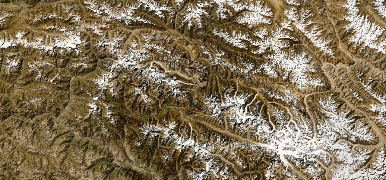
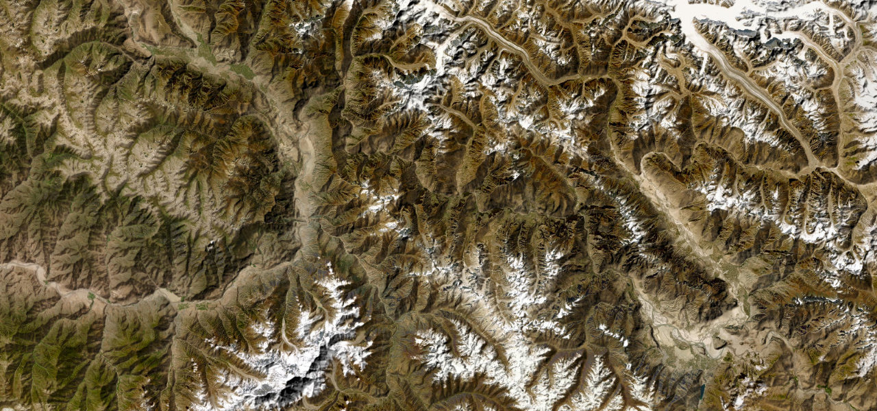
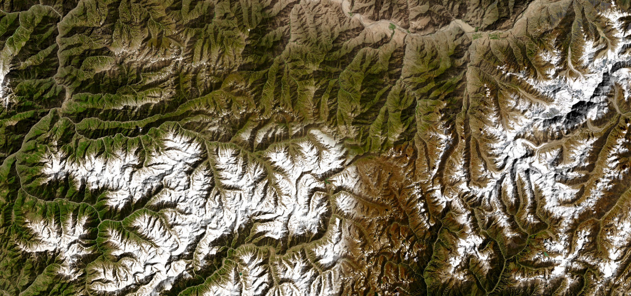
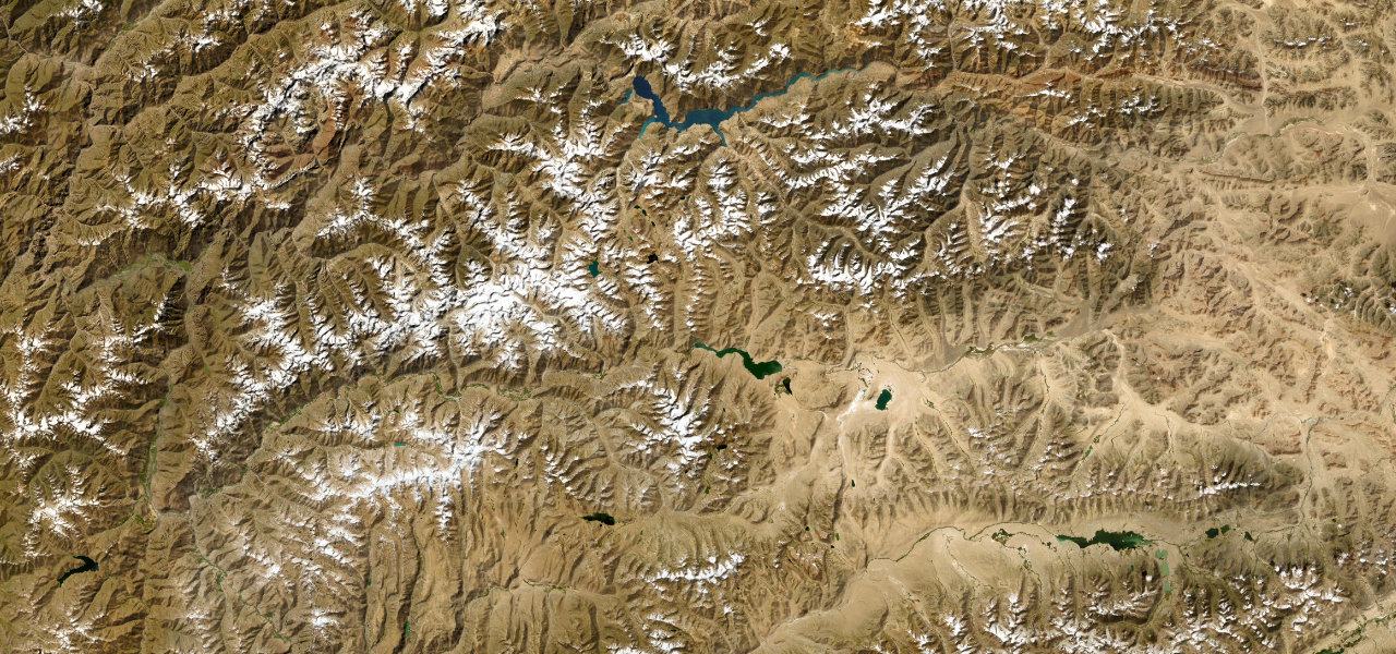
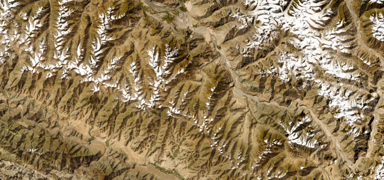
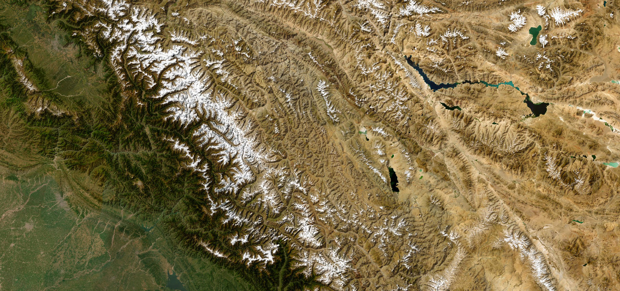
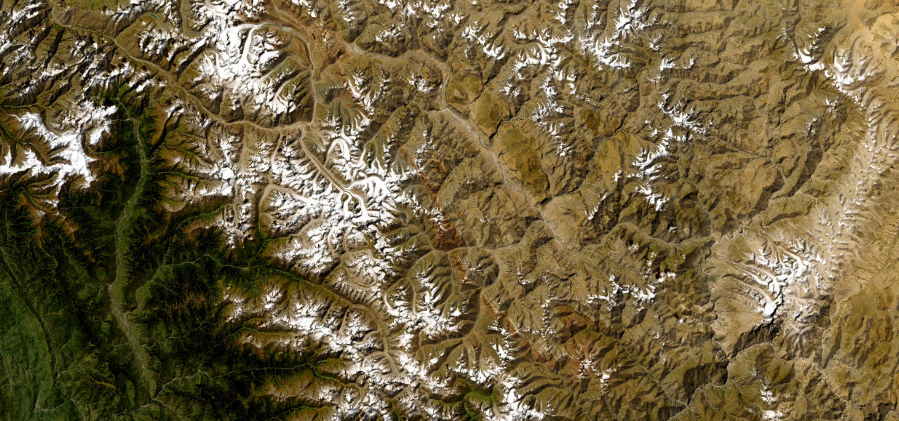
Threading the Hunza Valley where the Hindu Kush, Himalaya and Karakoram converge, this is the centrepiece of one of the planet’s great road journeys.
Running from Gilgit north through the Hunza Valley to the Chinese border at Khunjerab Pass (4,693 m), the highway traces the Hunza River gorge past Rakaposhi and the Passu Cones with Nanga Parbat to the south. Sheer rock walls on one side, drops to the river on the other; open April to November, the pass itself closed in winter.
Scenery
MountainValleyGorge
Where it runs
GilgitStart · Gilgit-Baltistan
Khunjerab PassEnd · Gilgit-Baltistan
Navigate to the start: Apple Maps · Google Maps
Character
Corners198bends
Tightness6of 10
Max gradient5%≈ 1-in-20
Hairpins9tight bends
Climb3,310 mtotal ascent
Summit4,703 mhighest point of the line · 15,430 ft
Higher than 9 in 10 roads in the catalogue.
Elevation
under 4%4–8%over 8%1,506 – 4,703 mHazards
- landslides
- rockfall
- narrow road
- extreme altitude
- sheer drops
- flash floods
Sources: Road geometry © OpenStreetMap contributors
Nearby roads
The closest great drives to Karakoram Highway.
Karakoram Highway
Directions