Gorno-Badakhshan · Tajikistan
Pamir Highway
M41Khorog to Murghab
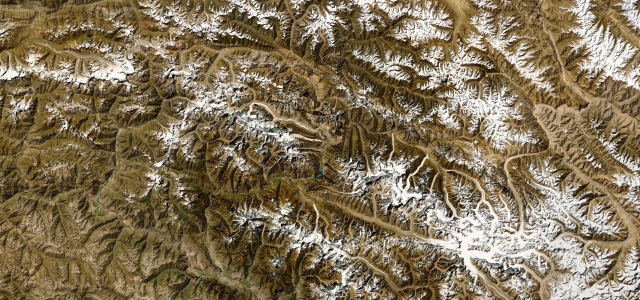
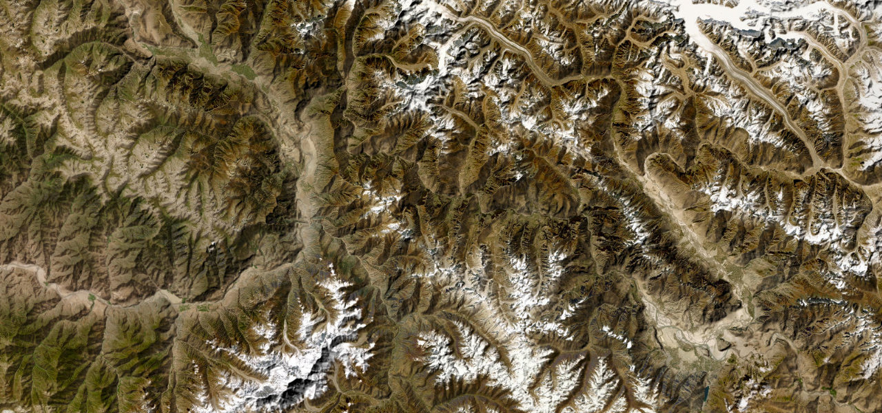
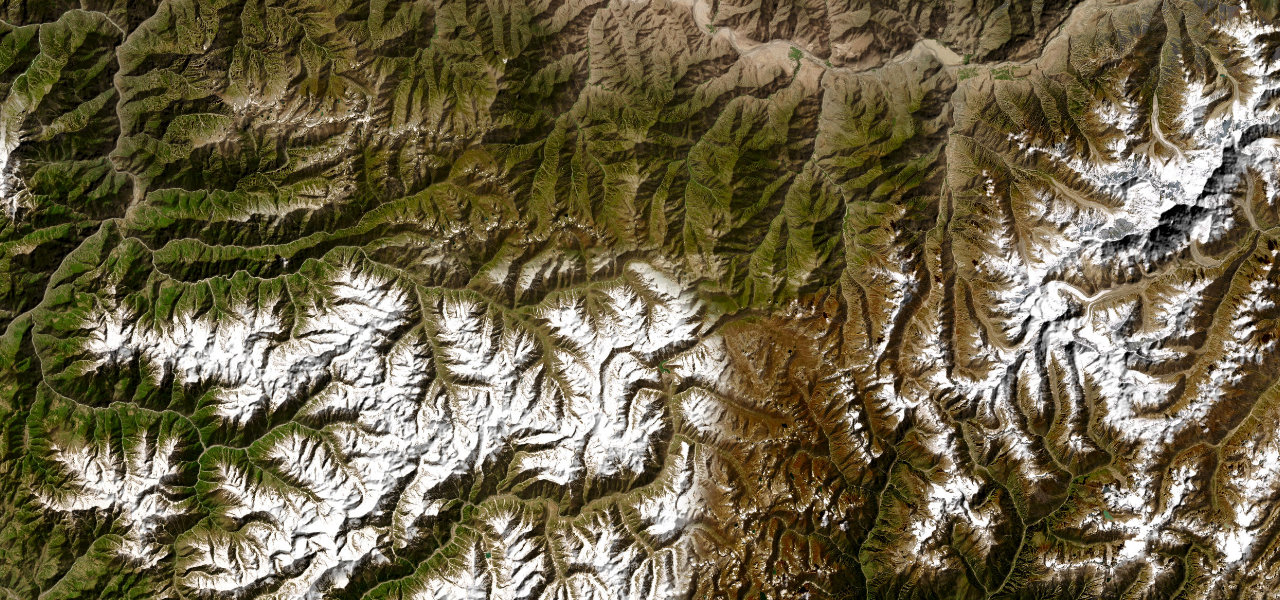
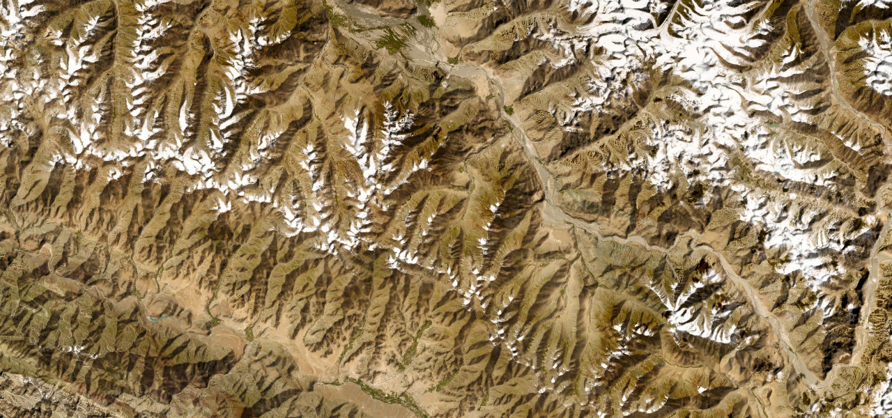
The high route of the Pamirs, climbing from the Gunt River gorge at Khorog across the vast plateau to Murghab at 3,600 m, cresting the Ak-Baital Pass at 4,655 m, the highest point on Central Asia’s legendary M41.
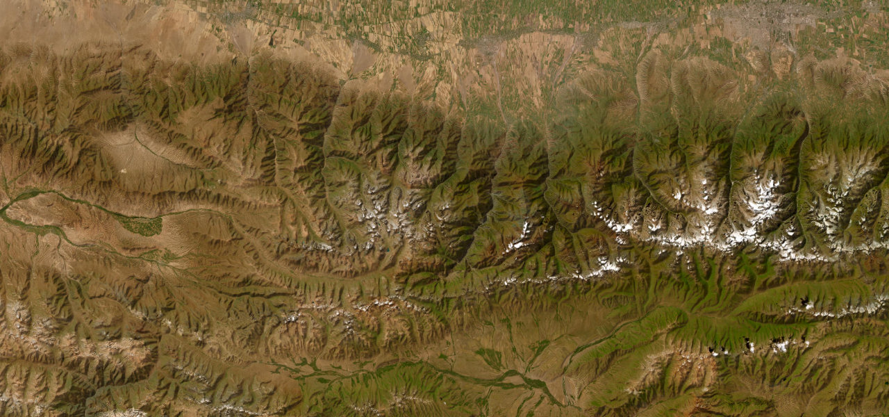
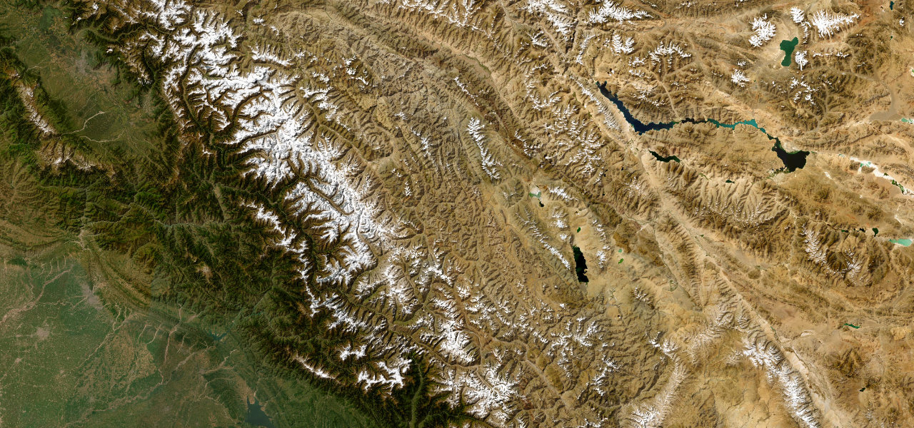
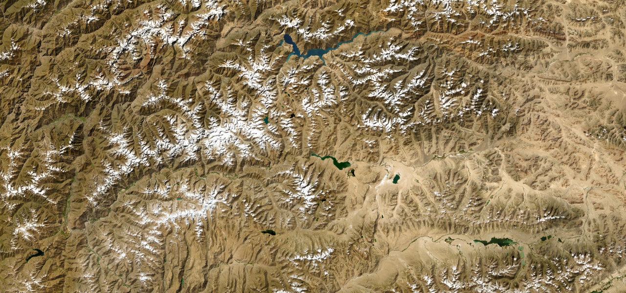
From Khorog the road follows the Gunt Valley east into arid terrain before ascending onto the plateau. Past Alichur the steppe opens out, with Yashilkul and Bulunkul lakes a stark turquoise against the brown; the climb to Ak-Baital (4,655 m) is gradual but relentless before the descent into Murghab, Tajikistan’s highest town, across terrain closer to the moon than to anywhere on earth.
Scenery
Where it runs
Navigate to the start: Apple Maps · Google Maps
Character
Higher than 9 in 10 roads in the catalogue.
Elevation
under 4%4–8%over 8%2,086 – 4,235 mHazards
- altitude sickness above 3,800 m
- unpaved and broken surface
- rockfall
- extreme cold even in summer
- no fuel for 200 km stretches
- no mechanical services
Sources: Road geometry © OpenStreetMap contributors
Nearby roads
The closest great drives to Pamir Highway.