Himachal Pradesh / Ladakh · India
Leh–Manali Highway
NH3Manali to Leh
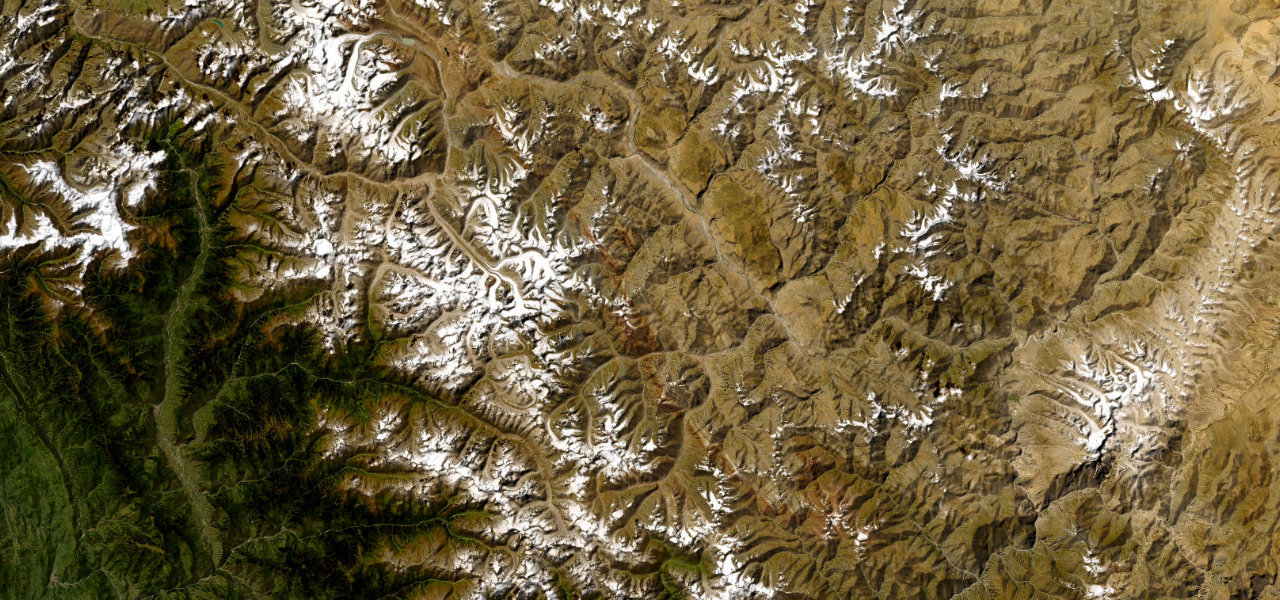
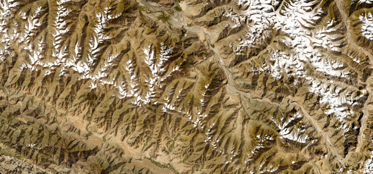
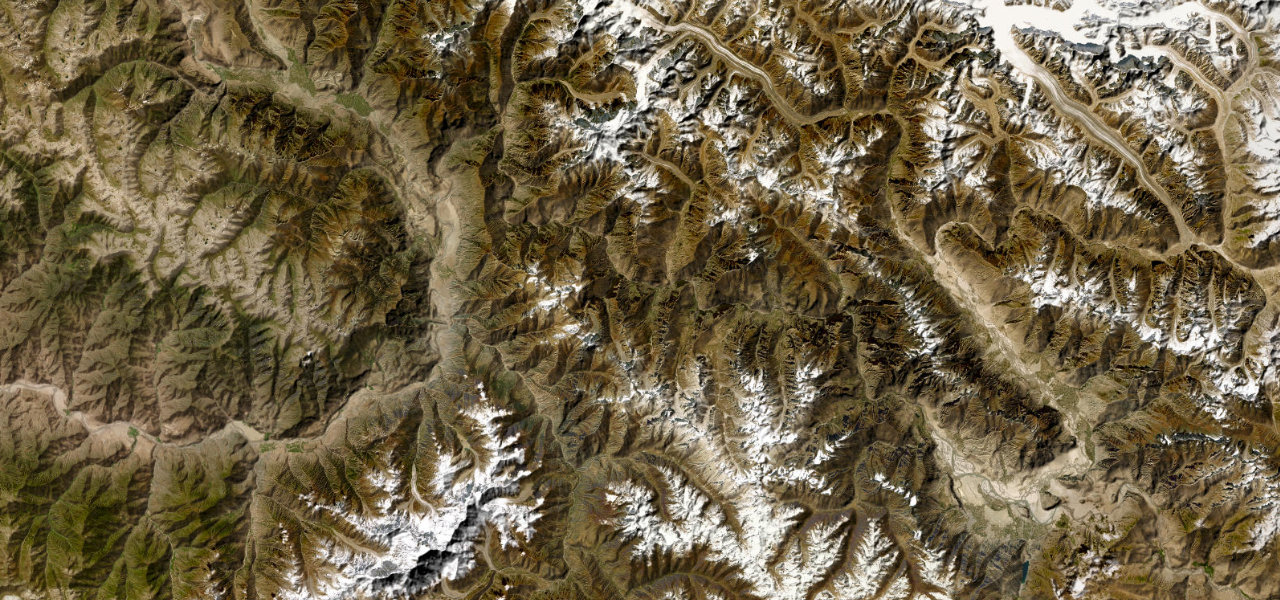
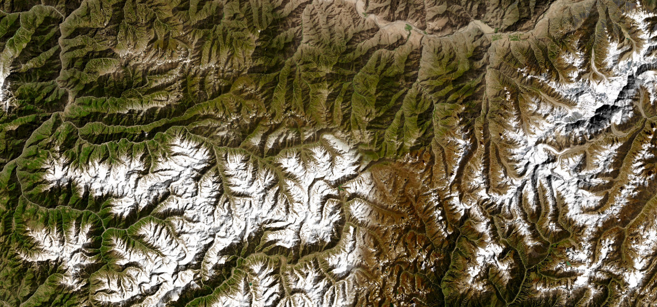
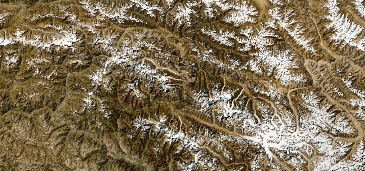
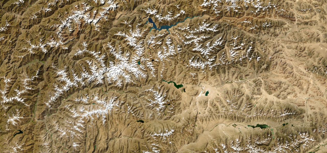
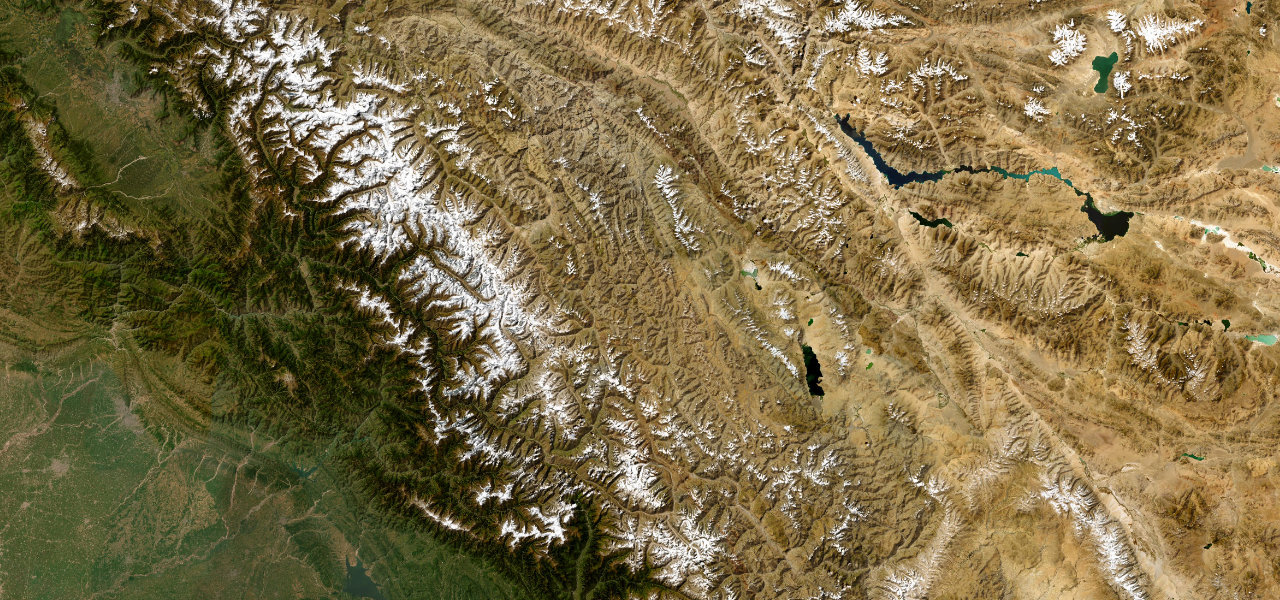
A 479 km odyssey over five Himalayan passes including Baralacha La and Tanglang La, connecting Manali to Leh across one of the most savage and beautiful high-altitude landscapes on earth.
The Leh-Manali Highway climbs from the Kullu Valley through Rohtang Pass (3,979 m), descends into the arid Lahaul plateau, then crosses Baralacha La (4,890 m), Lachulung La and Tanglang La (5,328 m) before dropping into Leh. It averages over 4,000 m for much of its length and is open roughly May to mid-October; sections near the high passes are unpaved with water crossings.
Scenery
Where it runs
Navigate to the start: Apple Maps · Google Maps
Character
More hairpins than 9 in 10 roads · higher than 9 in 10 roads in the catalogue.
Elevation
under 4%4–8%over 8%1,883 – 5,266 mHazards
- altitude sickness
- landslides
- river crossings
- snow on the high passes
- road damage near Rohtang and Tanglang La
- extreme remoteness
Sources: Road geometry © OpenStreetMap contributors
Nearby roads
The closest great drives to Leh–Manali Highway.