
 Country guide
The best driving roads in India
All 6 hand-picked driving roads in India on one interactive map, every one traced from real geometry and fact-checked, including 1 world icon.
The five to build a trip around
Our ranking, icons first, with the reasoning on the table. All 6 roads follow below.
-
1
 5,332 msummit
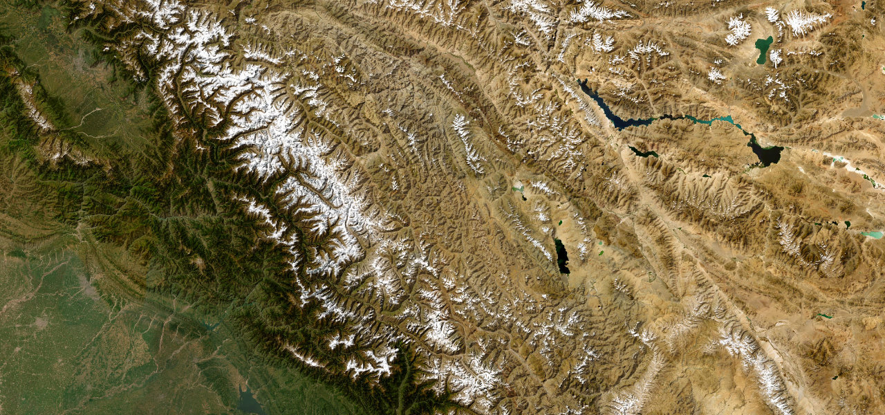
Leh–Manali Highway
A 479 km odyssey over five Himalayan passes including Baralacha La and Tanglang La, connecting Manali to Leh across one of the most savage and beautiful high-altitude landscapes on earth.
-
2
 5,360 msummit
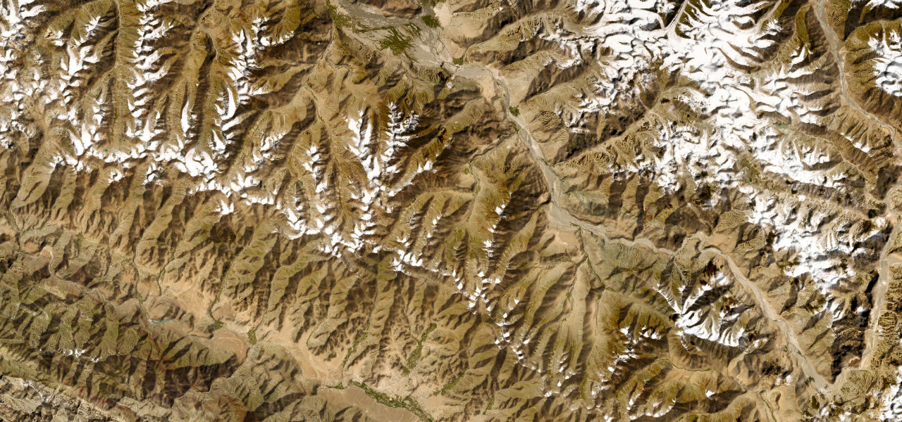
Khardung La
From Leh it climbs 40 km to a summit at 5,359 m, tarmac to South Pullu and loose gravel near the top, then drops off the Ladakh Range into the sand-dune wilderness of Nubra.
-
3
 173 mi6 h 42 min
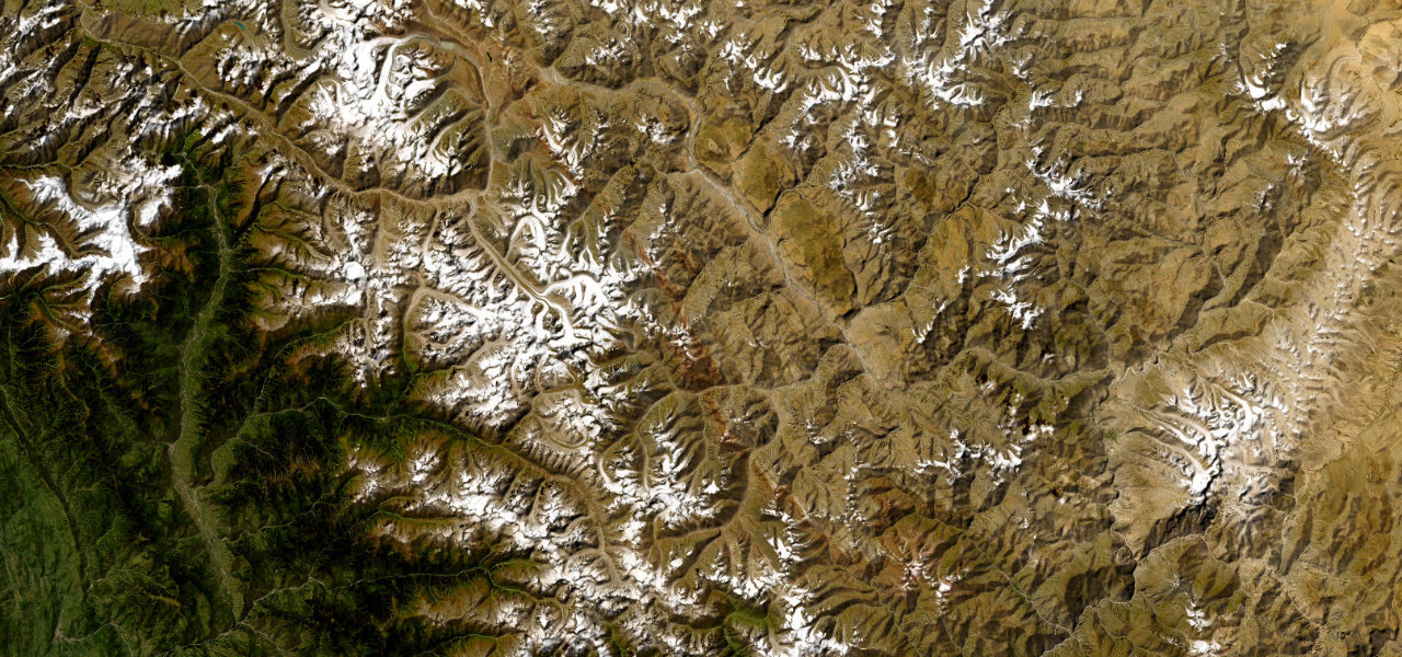
Spiti Valley Road
NH505 through Spiti is one of the toughest roads left on earth, a 275 km traverse of a lunar cold-desert gorge crossing the 4,551 m Kunzum La and threading cliff edges above the turquoise Spiti River.
-
4
 1,720 msummit
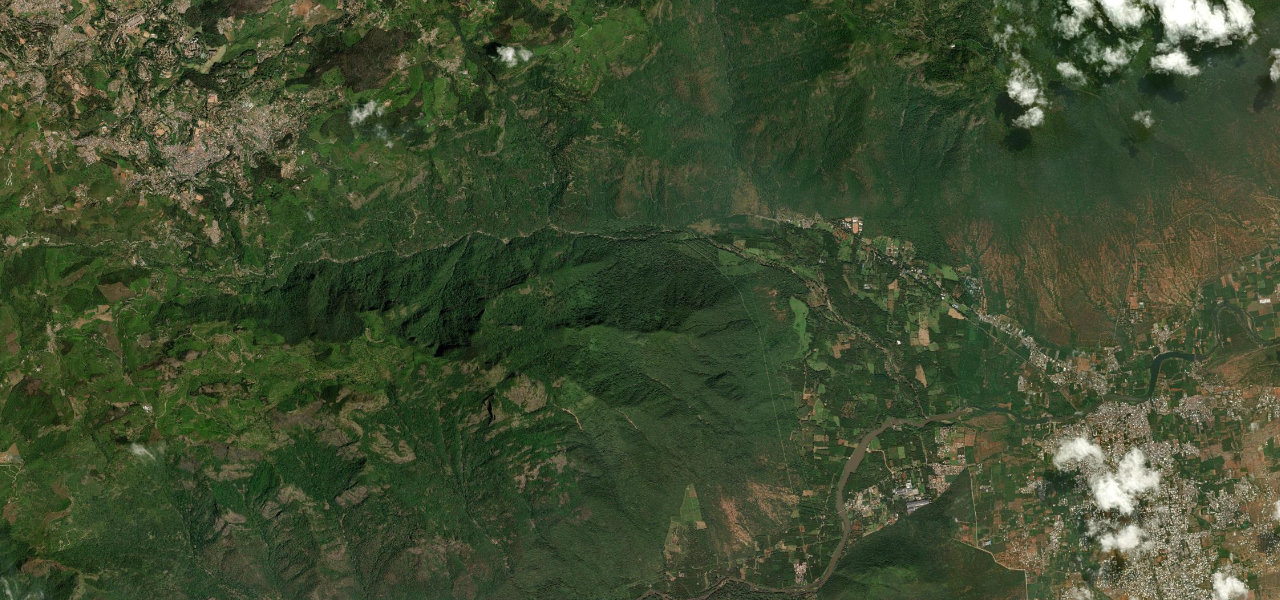
Coonoor Ghat
The Coonoor Ghat climbs from the plains at Mettupalayam to the Nilgiri tea country across 14 numbered hairpins, sharing its valley the whole way with the UNESCO Nilgiri Mountain Railway.
-
5
 6 mi14 min
Agumbe Ghat
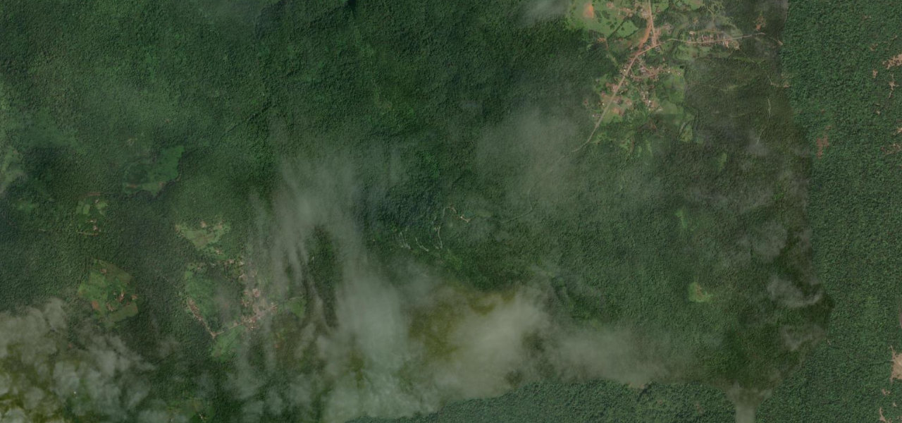
One of the wettest corners of India, Agumbe Ghat drops 643 m through dense rainforest in just 9 km, threading 14 hairpin bends inside Someshwara Wildlife Sanctuary.
India
3 roads
Western Ghats
3 roads

 Nepal
Nepal
 Pakistan
 Bhutan