Karnataka · India
Charmadi Ghat
NH73Charmadi to Kottigehara
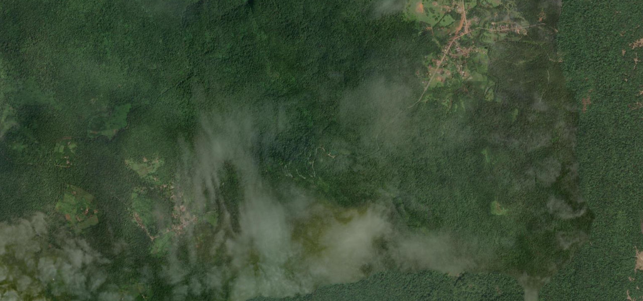
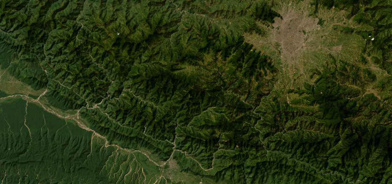
The deepest and remotest of Karnataka’s ghat roads, climbing 817 m through unbroken rainforest across 12 hairpins on a single-lane road that sees almost no tourist traffic.
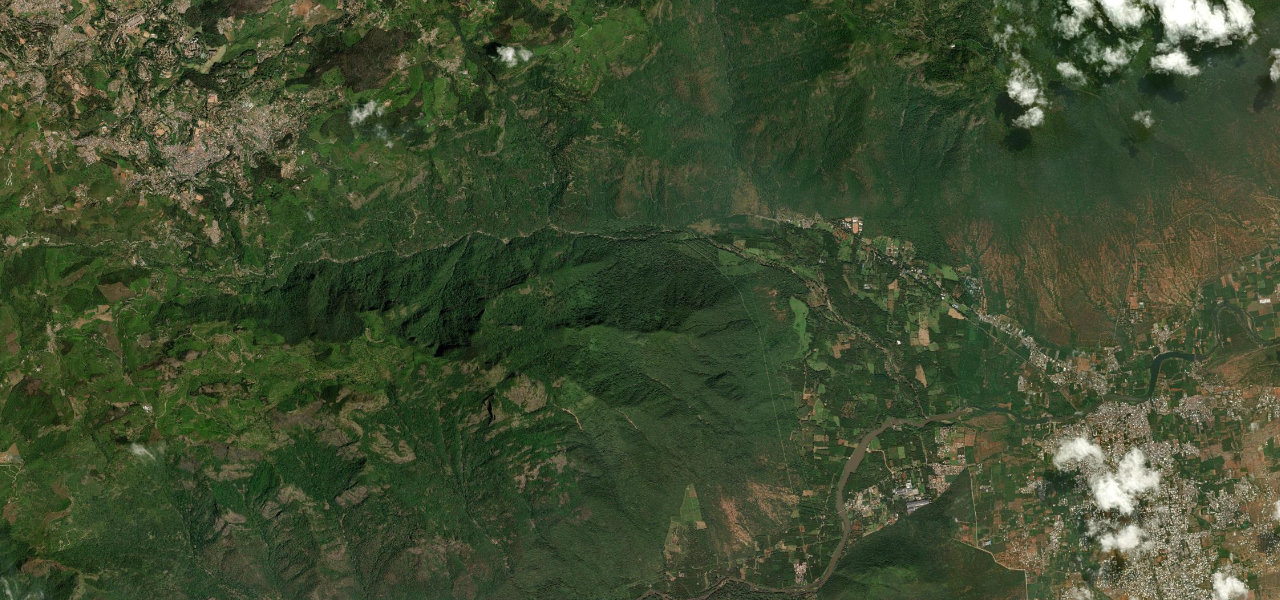
The ghat begins at Charmadi village and climbs immediately into dense evergreen forest, the 12 numbered hairpins spread out with long climbs between corners. Genuinely narrow (two trucks cannot pass), it is part of NH73 linking Mangalore to Tumkuru; heavy vehicles avoid it for the lower Shiradi Ghat. Above the trees the ridge opens westward toward the coast, the summit at Kottigehara at 970 m.
Scenery
Where it runs
Navigate to the start: Apple Maps · Google Maps
Character
Elevation
under 4%4–8%over 8%135 – 970 mHazards
- narrow single-lane road
- blind corners
- wildlife crossing
- monsoon closures
- landslides
See the typical season and live conditions for the high passes ›
Sources: Road geometry © OpenStreetMap contributors
Nearby roads
The closest great drives to Charmadi Ghat.