Central Highlands · Sri Lanka
Hill Country Highway
A5Peradeniya to Nuwara Eliya
Sri Lanka’s classic hill-country climb, rising some 1,400 m from Kandy’s outskirts to Nuwara Eliya through near-continuous hairpins, tea estates and waterfalls.
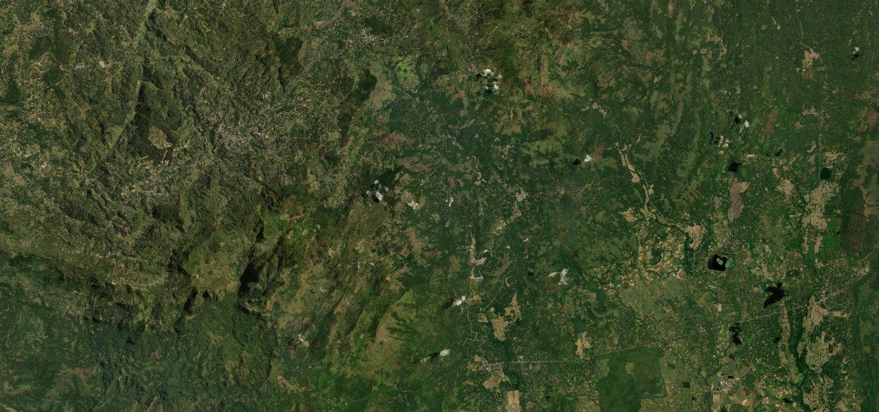
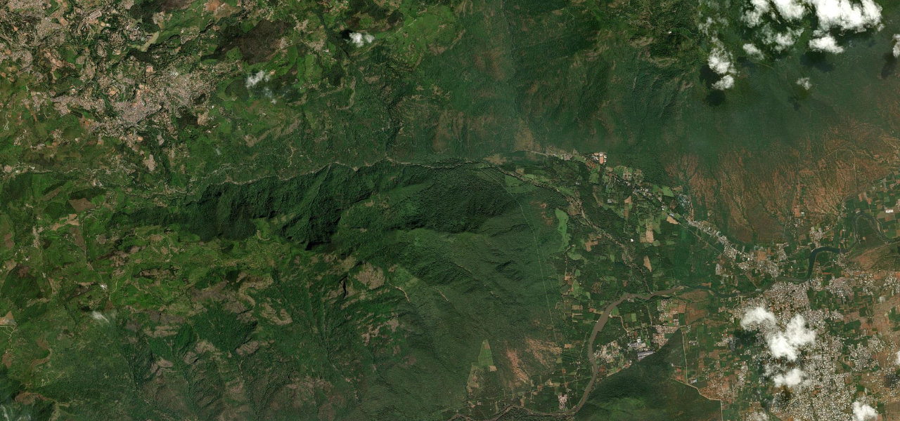
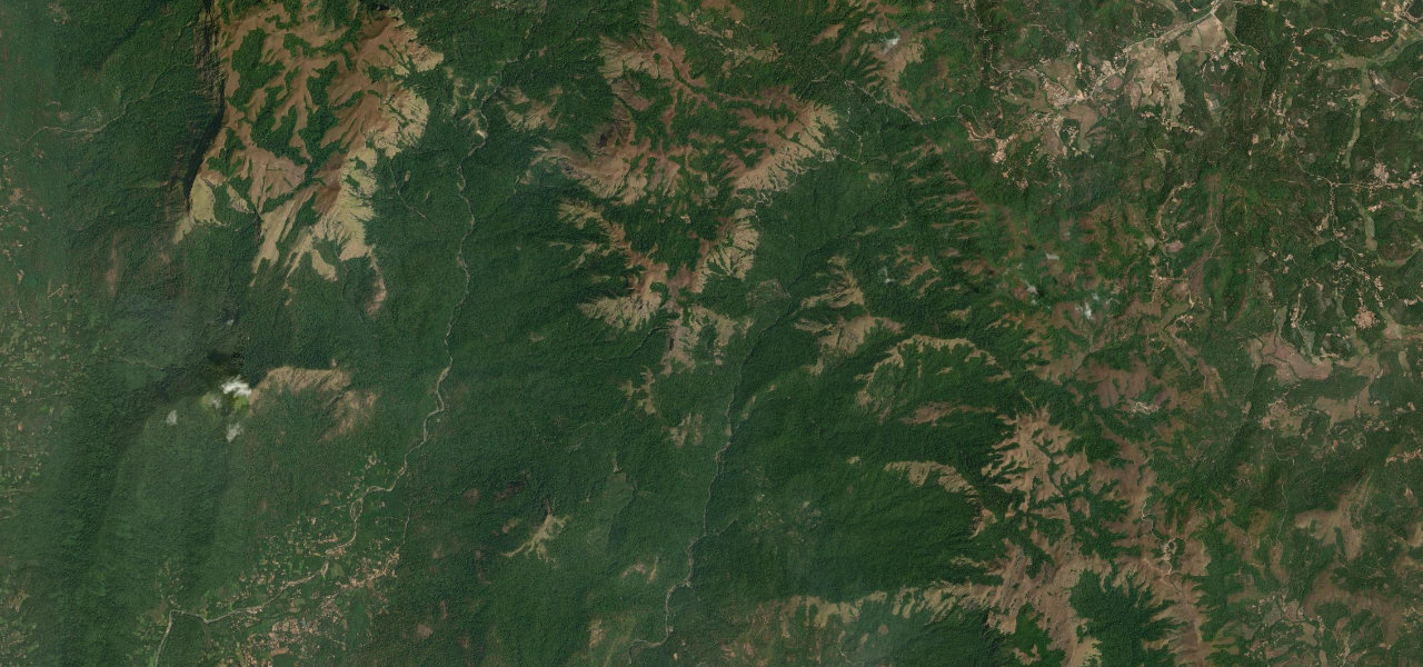
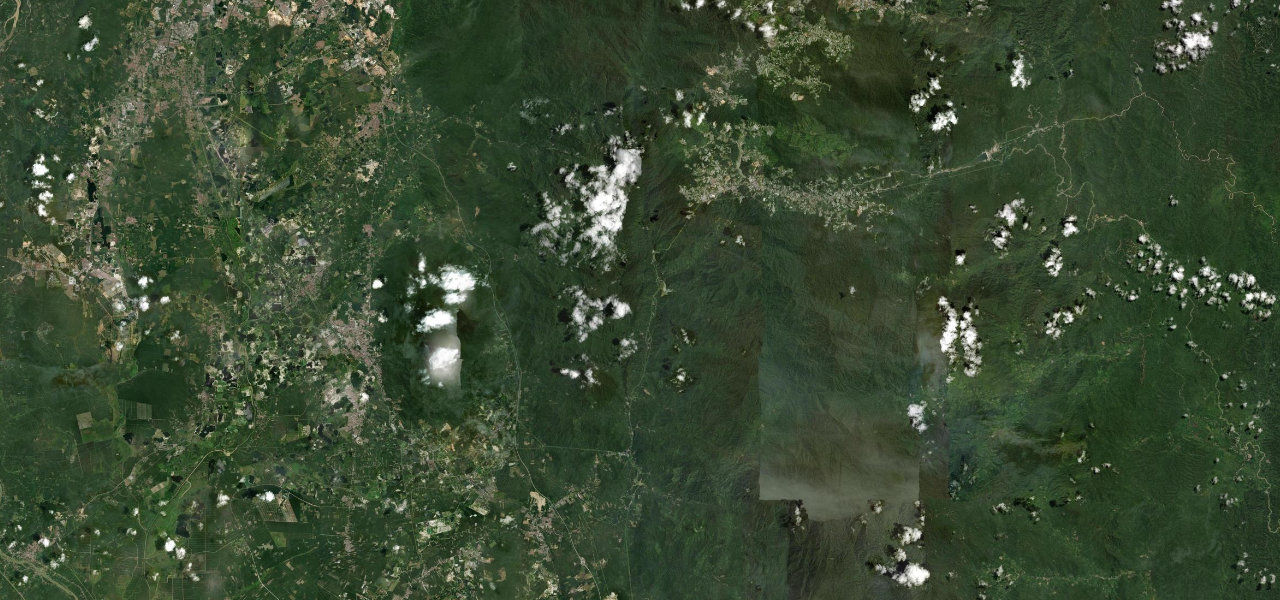
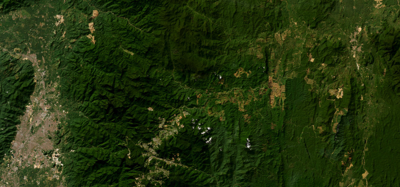
From Peradeniya the A5 follows the Mahaweli before turning up into the hills, climbing through Gampola and Pussellawa on a road that bends almost without pause. Tea gardens carpet the slopes, the Ramboda Falls drop beside the tarmac, and the air cools as the road gains height past Labookellie to the colonial hill station of Nuwara Eliya at nearly 1,900 m. Fog, slow lorries and tight curves make it a road to savour rather than hurry.
Scenery
Where it runs
Navigate to the start: Apple Maps · Google Maps
Character
Elevation
under 4%4–8%over 8%463 – 2,003 mPoints of interest
- Nice ViewpointViewpoint
- Ramboda FallsViewpoint
- Glenloch Tea PlantationLandmark
Hazards
- Frequent hairpins with limited overtaking
- Dense hill fog reduces visibility, especially afternoons
- Slow heavy vehicles on the climb
- Surface can be wet and greasy under tea-country rain
Sources: Road geometry © OpenStreetMap contributors
Nearby roads
The closest great drives to Hill Country Highway.