Perak / Pahang · Malaysia
Cameron Highlands Road
59Tapah to Brinchang
Distance37.8 mi61 km
Drive time1 h 33 minon the road
DifficultyModeratetightness 9 of 10
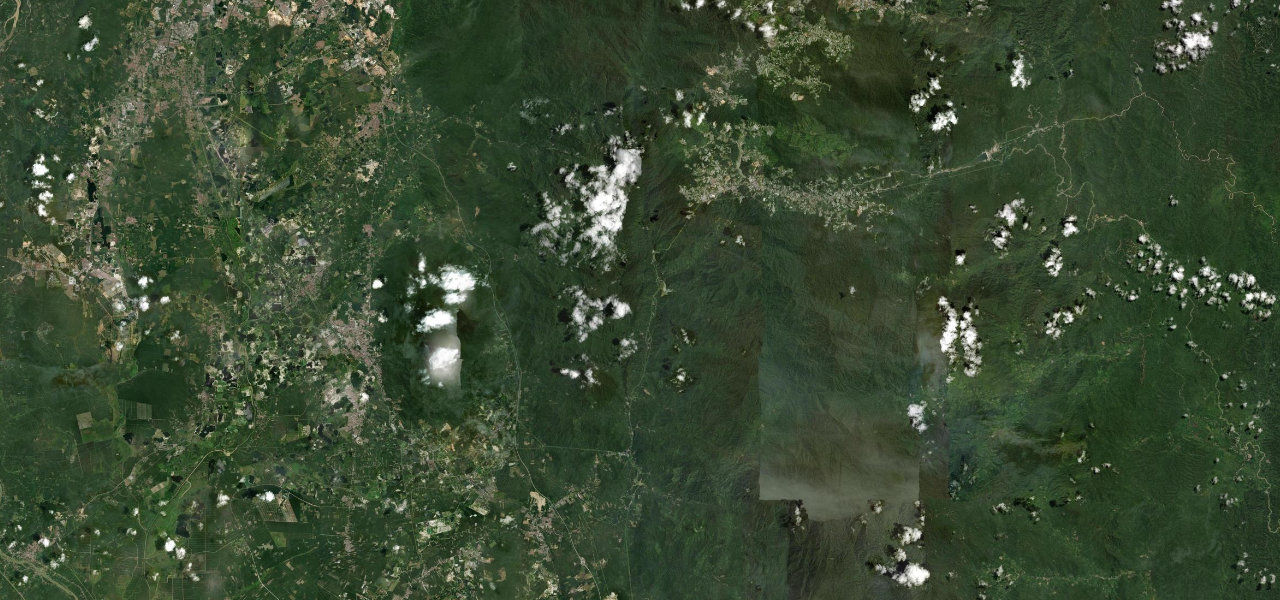
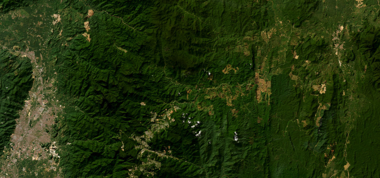
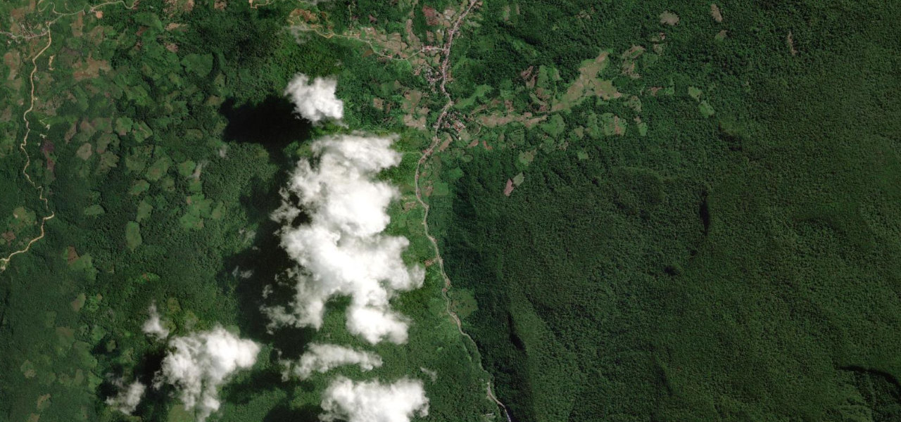
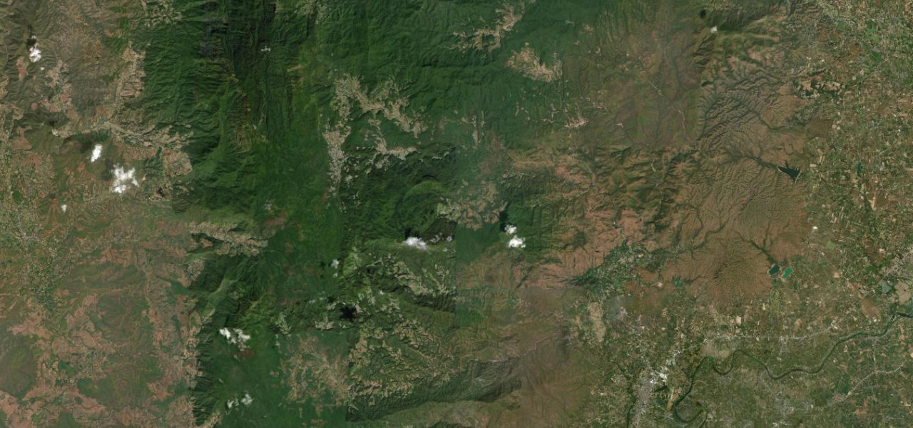
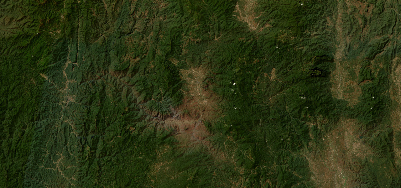
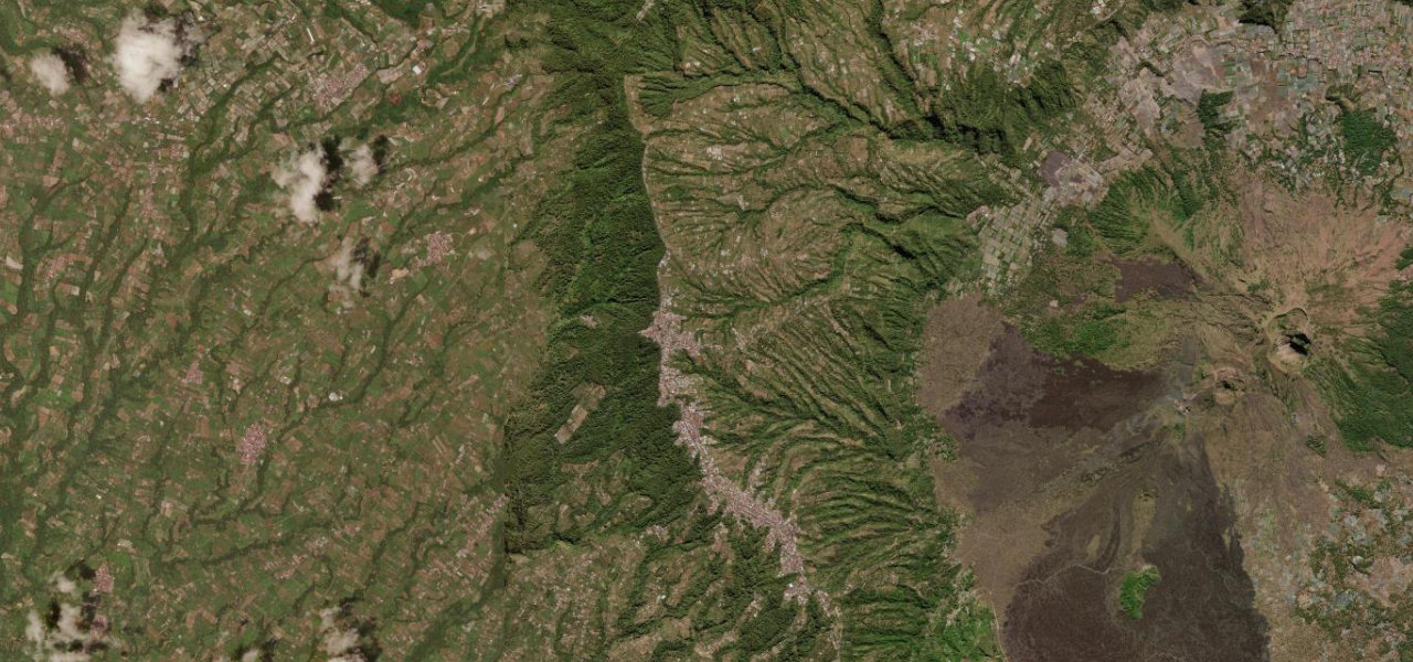
Malaysia’s iconic colonial-era mountain climb, 90 km of continuous hairpins through dense rainforest and cloud forest from Tapah to the tea estates of the Cameron Highlands.
Route 59 leaves the expressway at Tapah and attacks the Titiwangsa Range, rising from 71 m to over 1,600 m in relentless bends through primary rainforest past the Lata Iskandar waterfall, breaking into the tea-carpeted plateau at Tanah Rata and Brinchang. A textbook mountain drive of canopy tunnels and mist-shrouded ridges.
Scenery
MountainForestValley
Where it runs
TapahStart · Perak / Pahang
BrinchangEnd · Perak / Pahang
Navigate to the start: Apple Maps · Google Maps
Character
Corners310bends
Tightness9of 10
Max gradient12%≈ 1-in-8
Hairpins4tight bends
Climb1,474 mtotal ascent
Summit1,485 mhighest point of the line · 4,872 ft
Elevation
under 4%4–8%over 8%49 – 1,485 mHazards
- landslides in the wet season
- fog
- narrow lanes
- weekend congestion near Tanah Rata
Sources: Road geometry © OpenStreetMap contributors
Nearby roads
The closest great drives to Cameron Highlands Road.
Cameron Highlands Road
Directions