Perak / Kelantan · Malaysia
Lojing Highlands Highway
185Simpang Pulai to Gua Musang
Distance94.2 mi152 km
Drive time3 h 8 minon the road
DifficultyModeratetightness 5 of 10
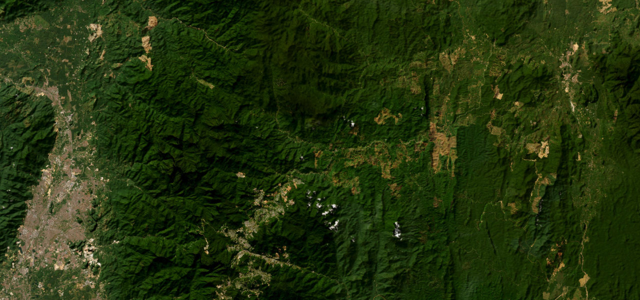
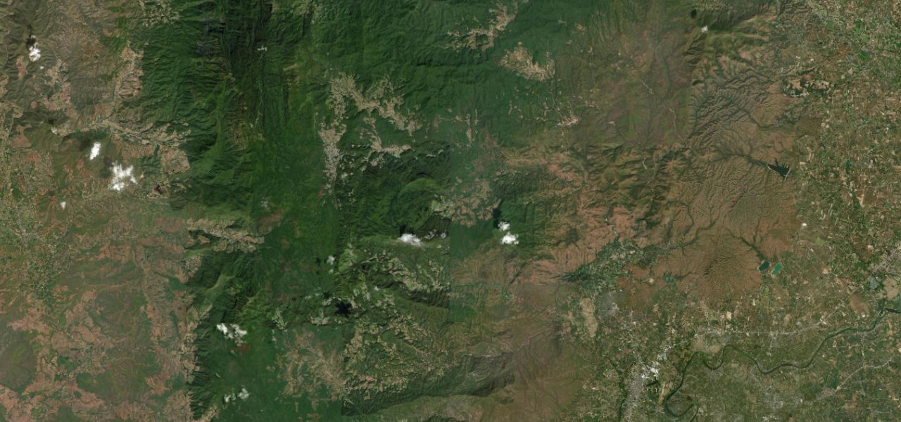
The Second East-West Highway pierces the Titiwangsa Range through the Lojing Highlands, a sustained drive above the cloud layer past pristine rainforest and the towering Lojing Viaduct.
Route 185 crosses the peninsula’s mountainous spine from Simpang Pulai east to Gua Musang. The scenic heart is the Lojing Highlands, where the road runs above the tree-line with cloud-inversion views; the Lojing Viaduct’s tallest pillar rises 58 m. Continuous sharp bends on good asphalt through Orang Asli territory beneath Mount Yong Belar.
Scenery
MountainForestValley
Where it runs
Simpang PulaiStart · Perak / Kelantan
Gua MusangEnd · Perak / Kelantan
Navigate to the start: Apple Maps · Google Maps
Character
Corners111bends
Tightness5of 10
Max gradient9%≈ 1-in-11
Climb1,521 mtotal ascent
Summit1,508 mhighest point of the line · 4,948 ft
Elevation
under 4%4–8%over 8%49 – 1,508 mHazards
- landslides
- wildlife crossings
- sharp corners on highland sections
- mist and low visibility
Sources: Road geometry © OpenStreetMap contributors
Nearby roads
The closest great drives to Lojing Highlands Highway.
Lojing Highlands Highway
Directions