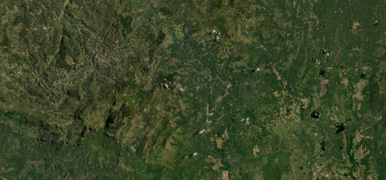
Uva Province · Sri Lanka
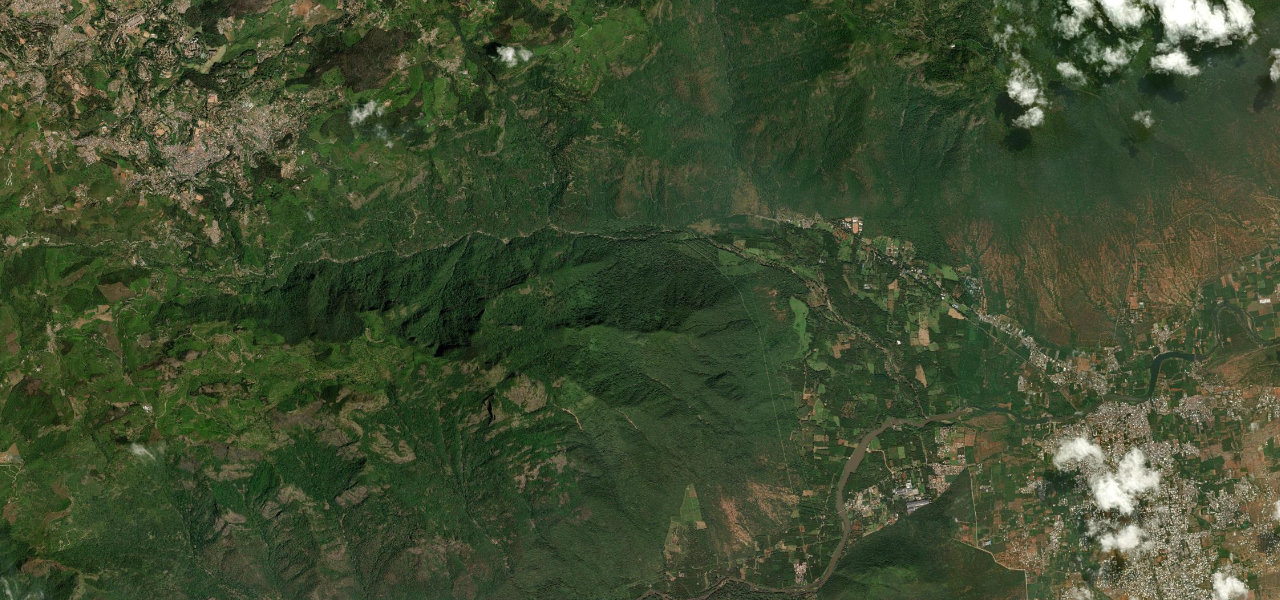
Ella Gap
A23Ella to Wellawaya
Distance15.8 mi25 km
Drive time33 minon the road
DifficultyModeratetightness 6 of 10
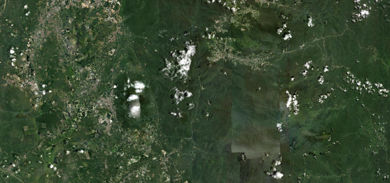
Sri Lanka’s most concentrated scenic descent drops from the hill-country town of Ella through the dramatic Ella Gap, past Ravana Falls, nearly 900 m to the plains at Wellawaya.
From Ella the A23 descends through the Ella Gap, a famous cleft with panoramic views south over the lowlands, Ella Rock looming alongside. After a few kilometres it crosses a bridge above the Ravana Ella Falls before steepening down the escarpment through jungle to the market town of Wellawaya. Short enough to drive in under an hour but rewarding a leisurely pace.
Scenery
MountainValleyGorgeForest
Where it runs
EllaStart · Uva Province
WellawayaEnd · Uva Province
Navigate to the start: Apple Maps · Google Maps
Character
Corners73bends
Tightness6of 10
Max gradient13%≈ 1-in-8
Descent879 mtotal descent
Summit899 mhighest point of the line · 2,949 ft
Elevation
under 4%4–8%over 8%190 – 899 mHazards
- steep drops
- sharp bends
- slow buses
- road damage after monsoon
Sources: Road geometry © OpenStreetMap contributors
Nearby roads
The closest great drives to Ella Gap.
Ella Gap
Directions