Karnataka · India
Agumbe Ghat
NH169AAgumbe to Someshwara
Distance6.1 mi9.8 km
Drive time14 minon the road
DifficultyDemandingtightness 8 of 10
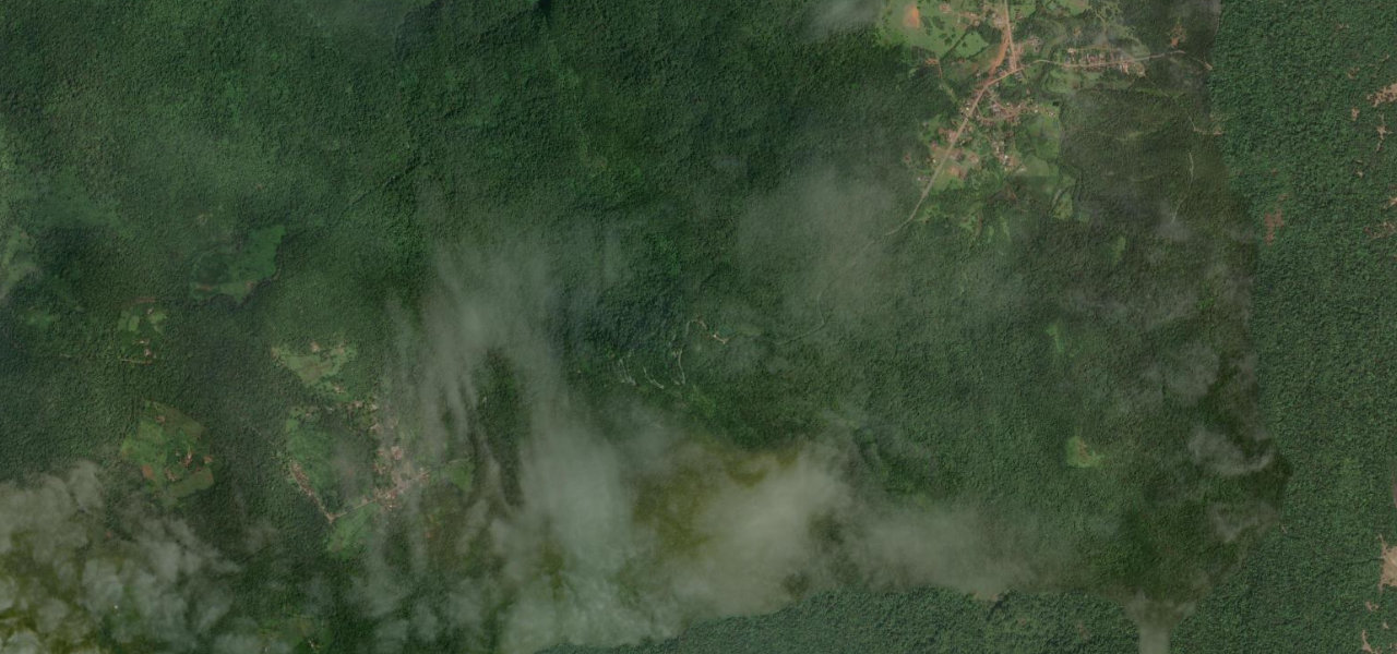
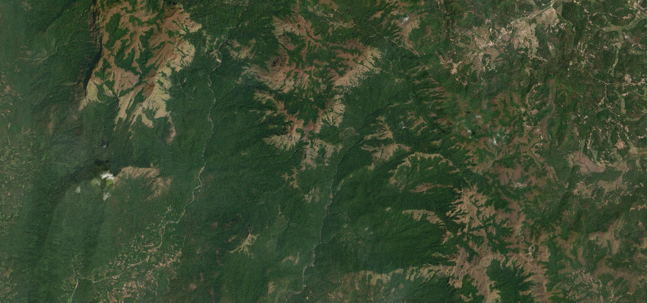
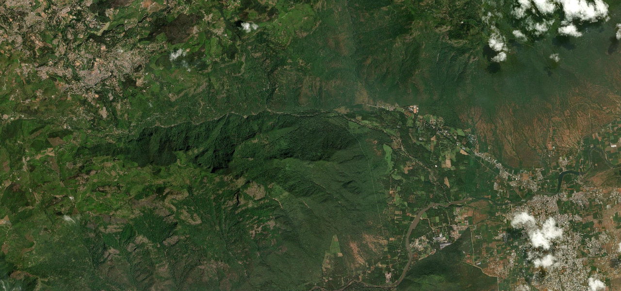
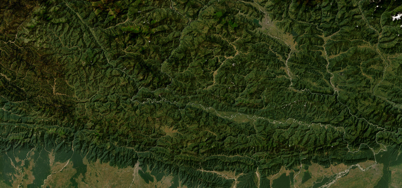
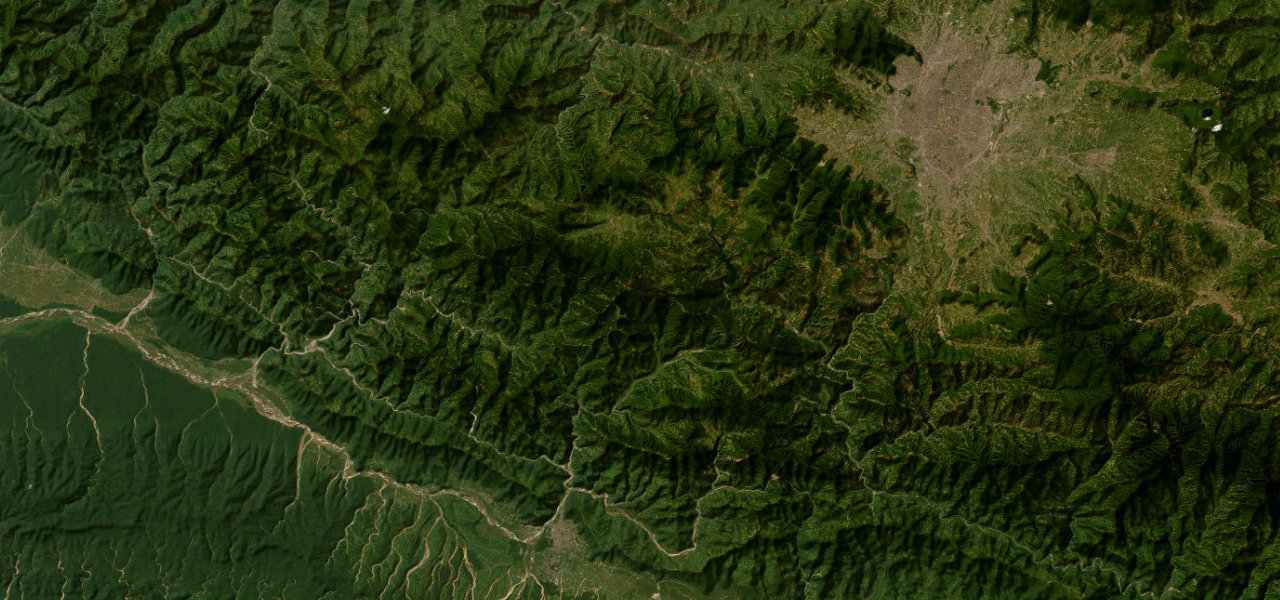
One of the wettest corners of India, Agumbe Ghat drops 643 m through dense rainforest in just 9 km, threading 14 hairpin bends inside Someshwara Wildlife Sanctuary.
The descent begins at Agumbe village, one of India’s highest-rainfall settlements, the road plunging into old-growth lowland rainforest, one of the last intact stands on the west coast. Each of the 14 numbered hairpins tightens as the road loses height, the canopy closing overhead, exiting at Someshwara on the coastal plain. King cobras are resident. Part of NH169A; drive it in the morning.
Where it runs
AgumbeStart · Karnataka
SomeshwaraEnd · Karnataka
Navigate to the start: Apple Maps · Google Maps
Character
Corners40bends
Tightness8of 10
Max gradient13%≈ 1-in-8
Hairpins13tight bends
Descent541 mtotal descent
Summit670 mhighest point of the line · 2,198 ft
Elevation
under 4%4–8%over 8%128 – 670 mHazards
- landslides
- wildlife crossing
- narrow single-lane road
- road damage after monsoon
Sources: Road geometry © OpenStreetMap contributors
Nearby roads
The closest great drives to Agumbe Ghat.
Agumbe Ghat
Directions