Tamil Nadu · India
Coonoor Ghat
NH181Mettupalayam to Coonoor
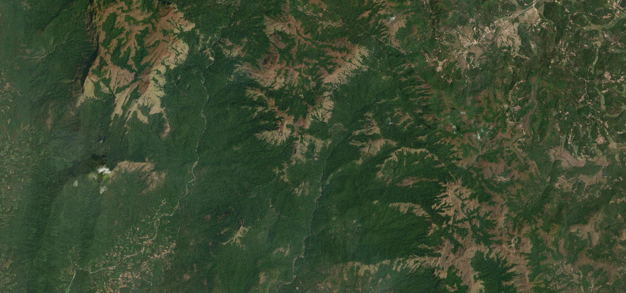
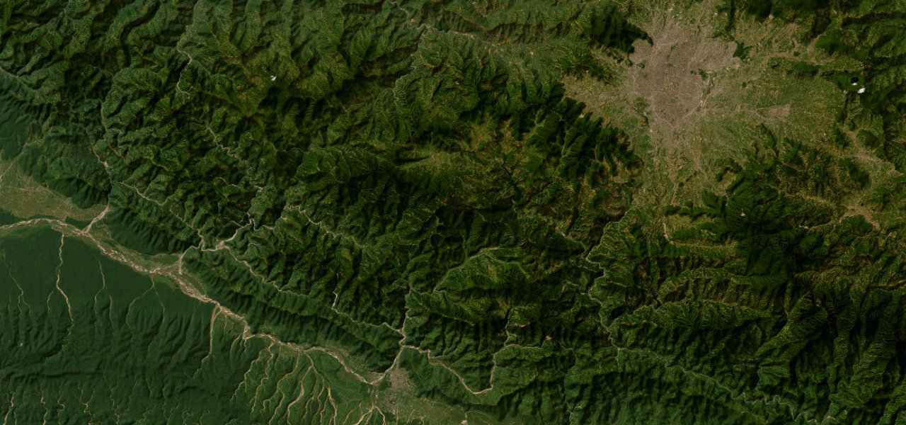
The Coonoor Ghat climbs from the plains at Mettupalayam to the Nilgiri tea country across 14 numbered hairpins, sharing its valley the whole way with the UNESCO Nilgiri Mountain Railway.
From Mettupalayam the road enters the Kallar valley and climbs through dry forest, the rack-and-pinion toy train visible across the river then crossing over the road. Each of the 14 hairpins is numbered on stone markers; the Kallar viewpoint looks back over road and railway. Coffee and cardamom estates give way to tea terraces approaching Coonoor at 1,800 m. Continue to Ooty for the full Nilgiri plateau.
Scenery
Where it runs
Navigate to the start: Apple Maps · Google Maps
Character
Elevation
under 4%4–8%over 8%306 – 1,711 mHazards
- heavy bus and lorry traffic
- fog above 1,500 m
- narrow sections near railway crossings
Sources: Road geometry © OpenStreetMap contributors
Nearby roads
The closest great drives to Coonoor Ghat.