Gandaki / Lumbini · Nepal
Siddhartha Highway
NH47Pokhara to Butwal
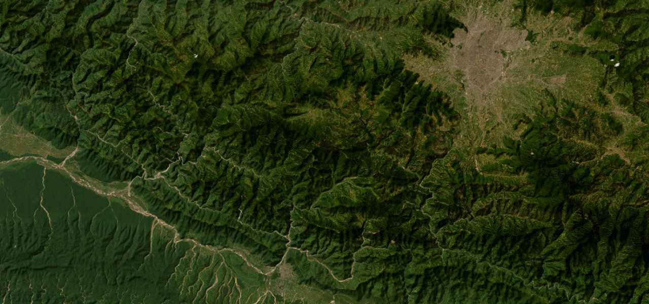
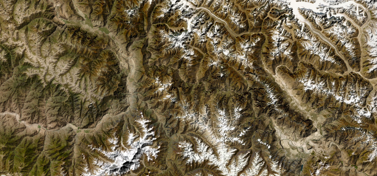
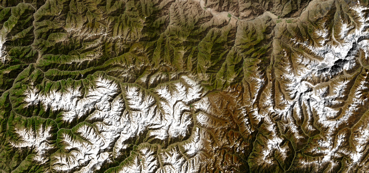
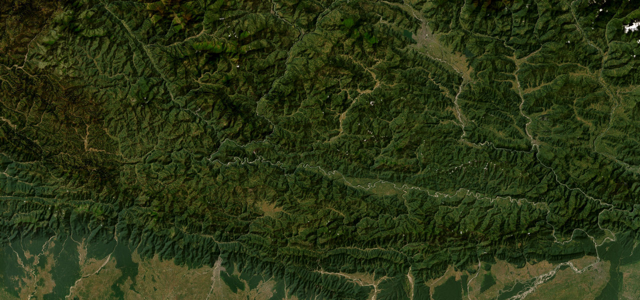
One of Nepal’s most exciting mountain highways descends from Pokhara through the Lower Himalayan ridges in a relentless sequence of hairpins past jungle slopes, rice terraces and the Newari town of Tansen.
Leaving Pokhara the highway plunges into the green hills of the Mahabharata Range, winding south through Syangja to the historic walled town of Tansen (Palpa). The Butwal-Palpa section is the most testing — rocky, rockfall-prone, tight — before the Ramdi bridge over the Kali Gandaki and the final descent to Butwal.
Scenery
Where it runs
Navigate to the start: Apple Maps · Google Maps
Character
More hairpins than 9 in 10 roads in the catalogue.
Elevation
under 4%4–8%over 8%185 – 1,491 mHazards
- hairpin bends
- narrow curves
- rockfall on the Butwal-Palpa section
- monsoon landslides
Sources: Road geometry © OpenStreetMap contributors
Nearby roads
The closest great drives to Siddhartha Highway.