Himachal Pradesh · India
Spiti Valley Road
NH505Khab Sangam to Gramphoo
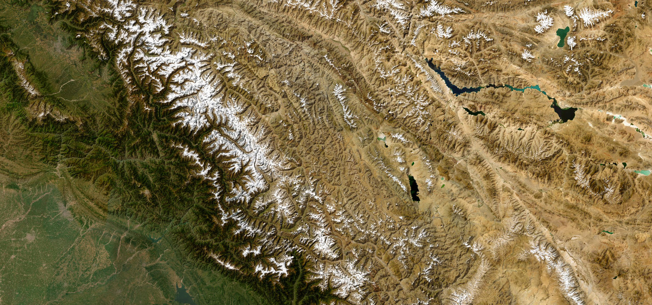
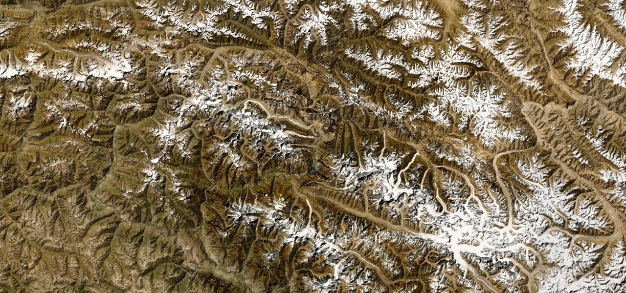
NH505 through Spiti is one of the toughest roads left on earth, a 275 km traverse of a lunar cold-desert gorge crossing the 4,551 m Kunzum La and threading cliff edges above the turquoise Spiti River.
Starting at Khab Sangam where the Spiti meets the Sutlej, the road follows the Spiti River gorge north-west through Nako, Tabo and Kaza before climbing Kunzum La (4,551 m) and descending the Chandra Valley to Gramphoo on the Leh-Manali road. Much of the Kaza-to-Gramphoo section is unpaved; the Kinnaur section is paved but landslide-prone. Closed November to late May.
Scenery
Where it runs
Navigate to the start: Apple Maps · Google Maps
Character
More hairpins than 9 in 10 roads · higher than 9 in 10 roads in the catalogue.
Elevation
under 4%4–8%over 8%2,563 – 4,535 mHazards
- landslides at Malling Nala
- river and stream crossings
- mostly unpaved surface
- Kunzum La closed October to May
- no signal or services for long stretches
See the typical season and live conditions for the high passes ›
Sources: Road geometry © OpenStreetMap contributors
Nearby roads
The closest great drives to Spiti Valley Road.