Cordillera, Luzon · Philippines
Kennon Road
N54Rosario to Baguio
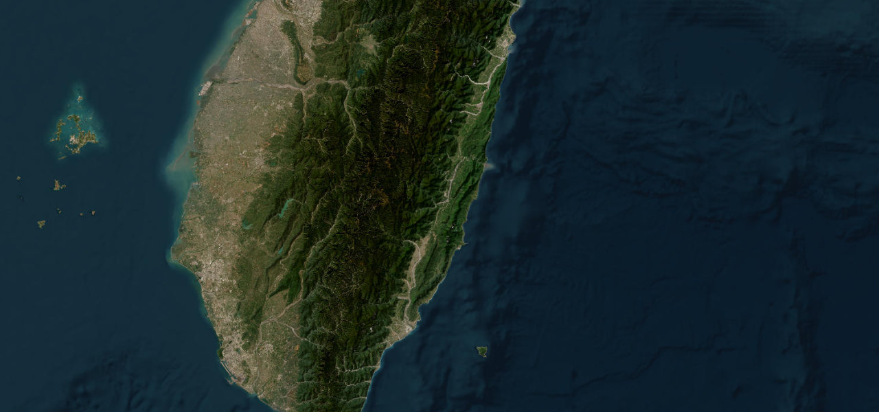
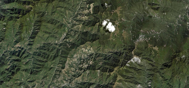
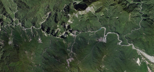
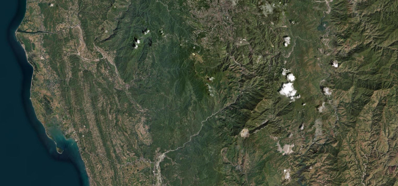
The original and most dramatic ascent to Baguio: a 34 km canyon climb through the famous zigzags, with waterfalls, pine forest and the Lion’s Head landmark, prone to closure from landslides.
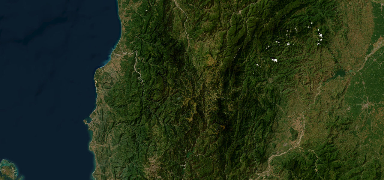
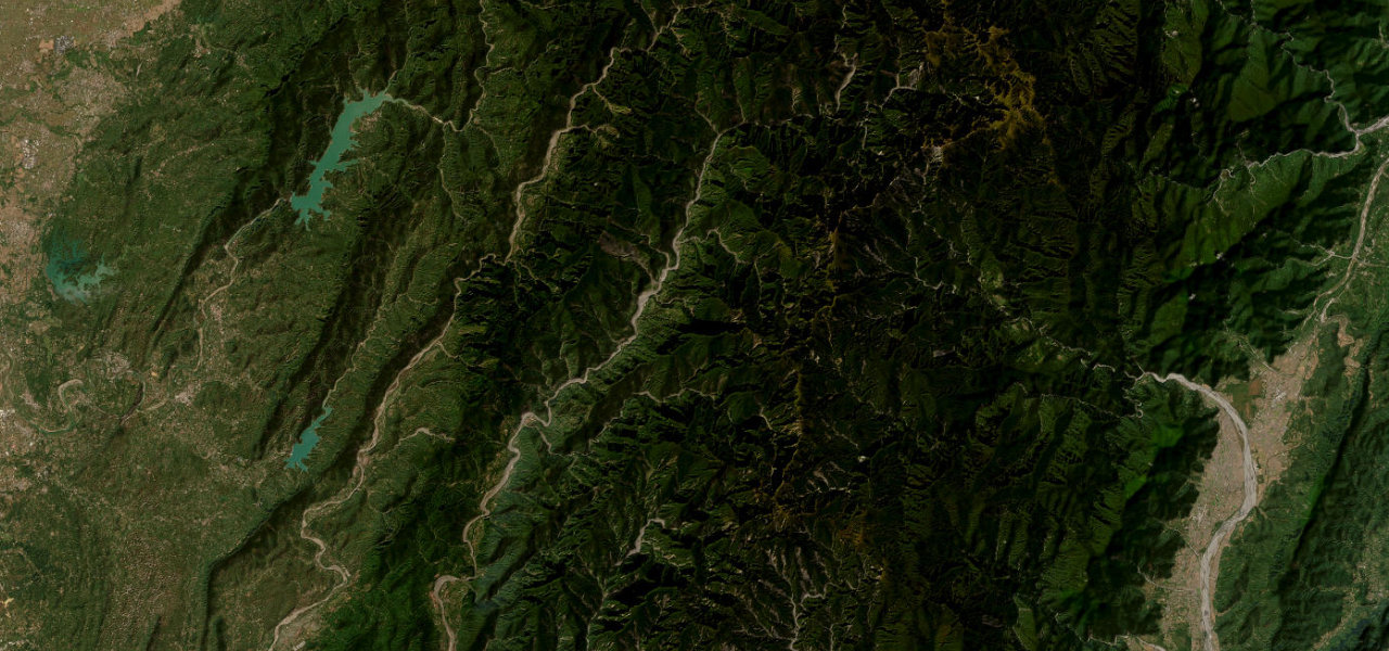
From the lowland junction at Rosario the road enters a deep river canyon, climbing 1,700 m over 34 km through dramatic gorge scenery. The famous zigzag between Camp 6 and Camp 7 stacks switchbacks on near-vertical walls past the Lion’s Head outcrop, before pine forest into Baguio’s outskirts. Drive in the dry season and confirm it is open first.
Scenery
Best seasons
In these collections
In these guides
Kennon Road on the map21.0 mi · point to point
Navigate to the start: Apple Maps · Google Maps
Character
Corners
busiest around mile 17Elevation
under 4%4–8%over 8%164.1 – 1,469.7 mPoints of interest1 stop
- Diego SilangLandmarkat the start
Hazards
- 50+ hairpin turns
- Blind curves
- Landslides and rockfall
- Weak guardrails
- Afternoon fog
- Rainy-season closures
See the typical season and live conditions for the high passes ›
Sources
“You will encounter sharp hairpin turns and blind curves, and the road is very slippery when it rains with usually landslides.”
Verified route: mapped from real road geometry and fact-checked by a human editor. How roads get checked
Driving the Kennon Road: quick answers
How long does it take to drive the Kennon Road?
How difficult is the Kennon Road to drive?
When is the best time to drive the Kennon Road?
Nearby roads
The closest great drives to Kennon Road.