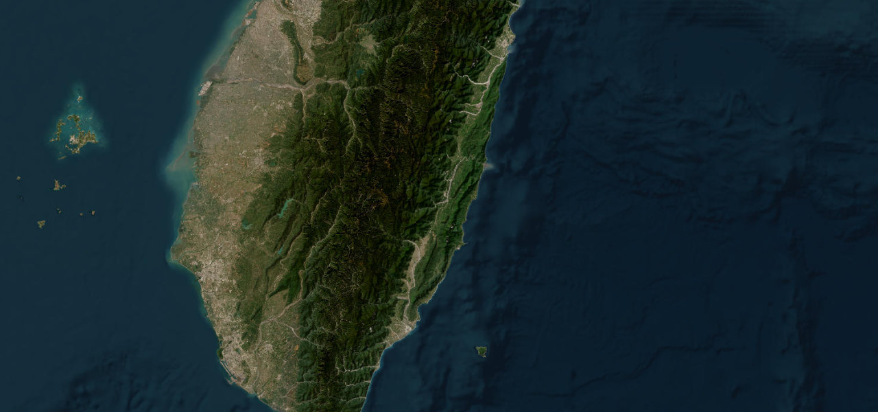
Cordillera, Luzon · Philippines
Halsema Highway
N204La Trinidad to Bontoc
Distance76.6 mi123 km
Drive time3 h 8 minon the road
DifficultyDemandingtightness 9 of 10
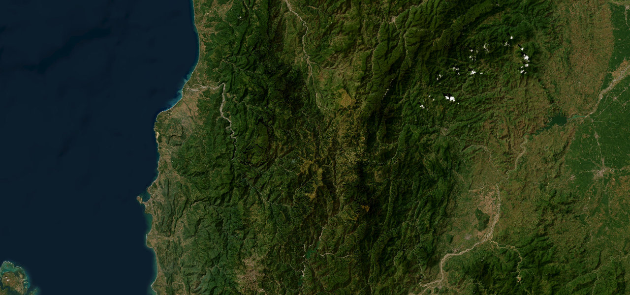
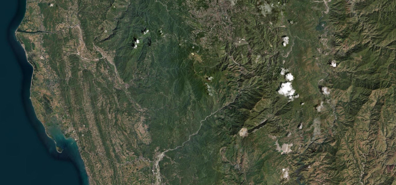
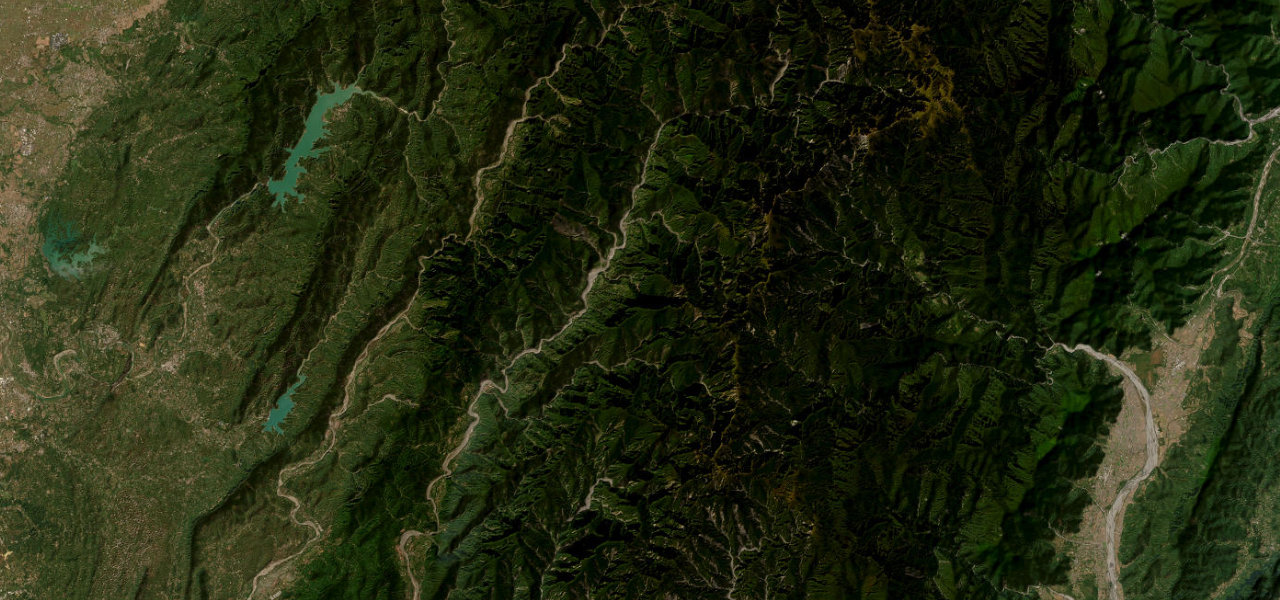
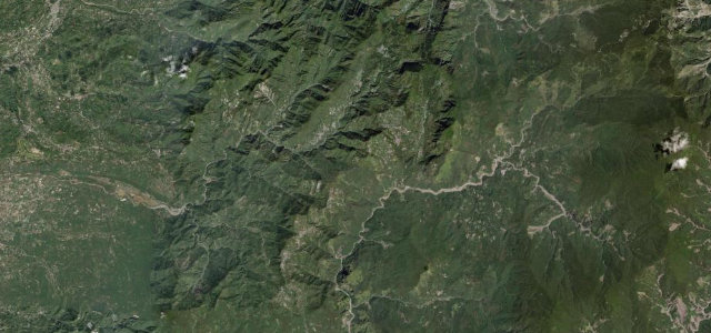
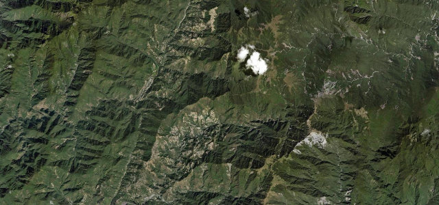
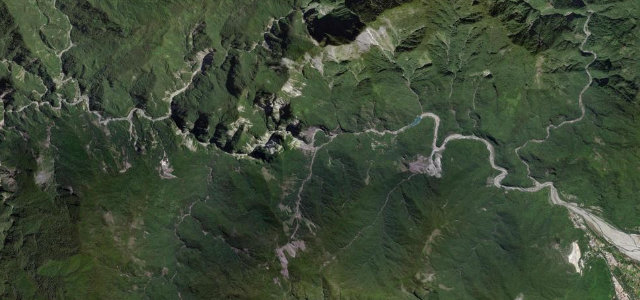
The highest highway in the Philippines, climbing the Cordillera Central to a 2,255 m summit at Atok, a 150 km spine of ridgeline driving with near-continuous panoramas.
From the Baguio limit the road climbs into the Benguet highlands past La Trinidad’s vegetable terraces onto high ridges with sheer drops on both sides, peaking at 2,255 m in Atok before descending through Kabayan and Buguias to Bontoc. Over 1,000 curves; about 99% paved. Daytime, dry-season driving only.
Scenery
MountainForestValley
Where it runs
La TrinidadStart · Cordillera, Luzon
BontocEnd · Cordillera, Luzon
Navigate to the start: Apple Maps · Google Maps
Character
Corners660bends
Tightness9of 10
Max gradient15%≈ 1-in-7
Hairpins10tight bends
Climb1,671 mtotal ascent
Summit2,358 mhighest point of the line · 7,736 ft
Elevation
under 4%4–8%over 8%993 – 2,358 mHazards
- landslides
- fog
- steep drop-offs
- narrow road
- no guardrails on sections
- rockfall
- high-speed bus traffic
Sources: Road geometry © OpenStreetMap contributors
Nearby roads
The closest great drives to Halsema Highway.
Halsema Highway
Directions