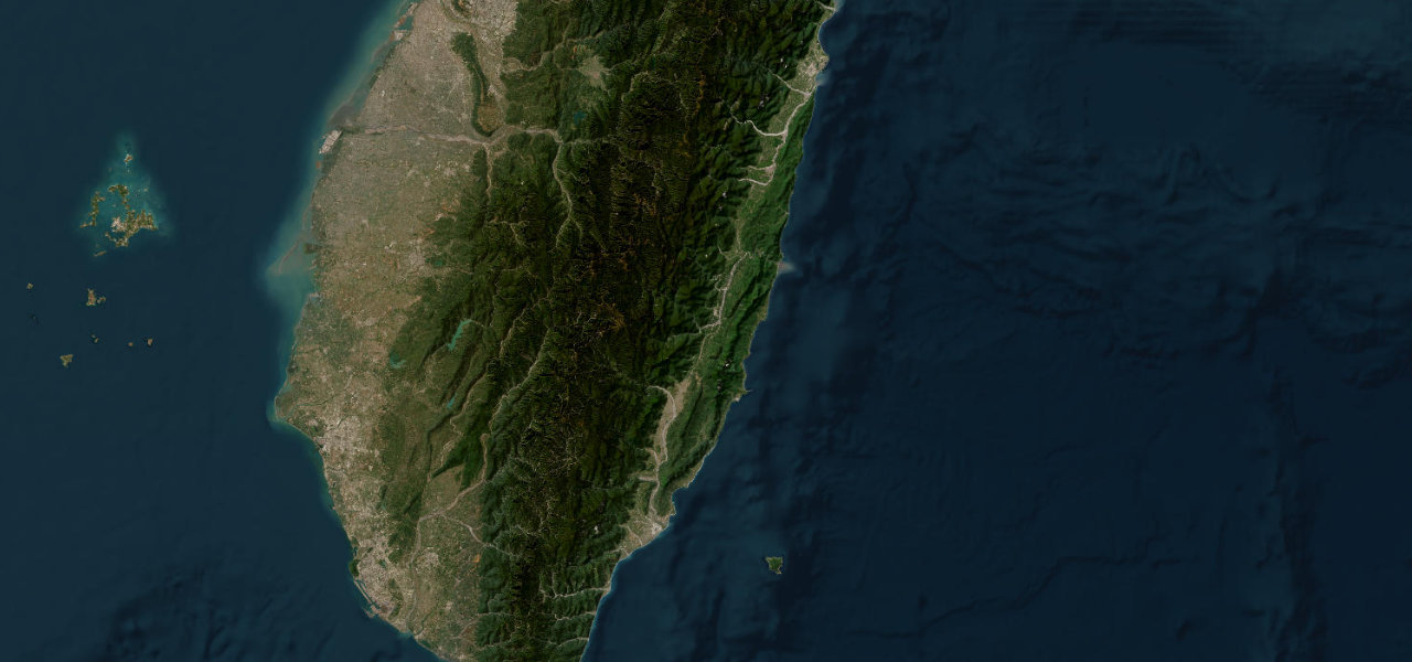
Chiayi County · Taiwan
Alishan Highway
18Fanlu Township to Alishan Township
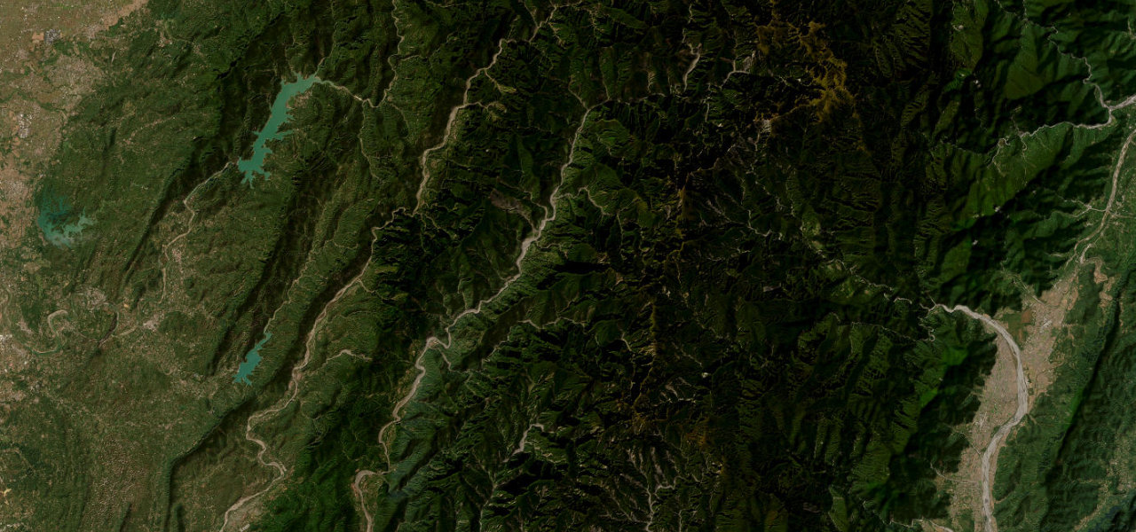
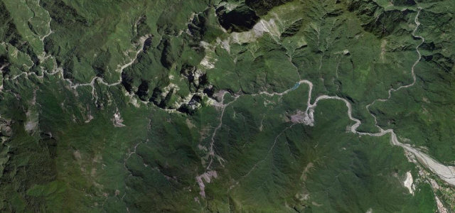
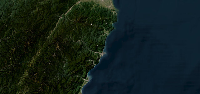
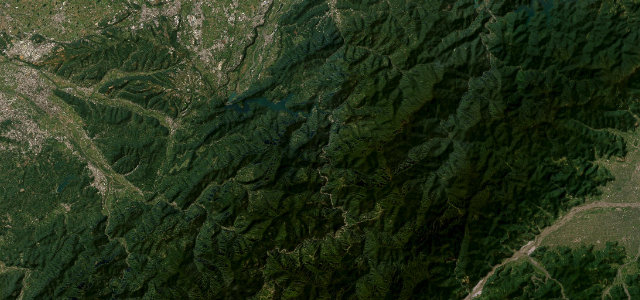
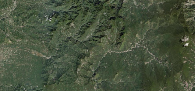
Highway 18 climbs out of the Chiayi plain through tea slopes and cedar forest to Alishan above 2,000 metres, 200 corners with the fog drifting in and out of the trees. Half the time you can’t see a thing, and somehow that’s exactly the point.
Highway 18, the Alishan Highway, climbs from the Chiayi plain through tea slopes and cedar forest to the Alishan resort above 2000 metres, continuing toward Tatajia near Yushan. The paved road is long, winding and often wrapped in mountain fog. Mind the dense fog, tight switchbacks and tour-bus traffic.
Where it runs36.0 mi · point to point
Navigate to the start: Apple Maps · Google Maps
Character
Corners
busiest around mile 13Elevation
under 4%4–8%over 8%176.7 – 2,196.8 mFrom the road
Points of interest3 stops
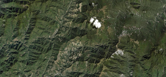
- Xiding Star Viewing Platform (隙頂之星觀景台)Viewpoint15 mi in
- Highway 18 Viewpoint (65.8 km)Viewpoint22 mi in
- Alishan ViewpointViewpoint36 mi in
Hazards
- Persistent mountain fog
- Tight switchbacks
- Frequent tour buses
Sources
“Multiple hairpin turns of 10%+ gradients have to be negotiated.”
Verified route: mapped from real road geometry and fact-checked by a human editor. How roads get checked
Driving the Alishan Highway: quick answers
How long does it take to drive the Alishan Highway?
How difficult is the Alishan Highway to drive?
When is the best time to drive the Alishan Highway?
Nearby roads
The closest great drives to Alishan Highway.