Nantou County · Taiwan
Hehuanshan Wuling Pass
14甲Renai Township to Xiulin
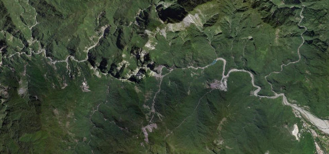
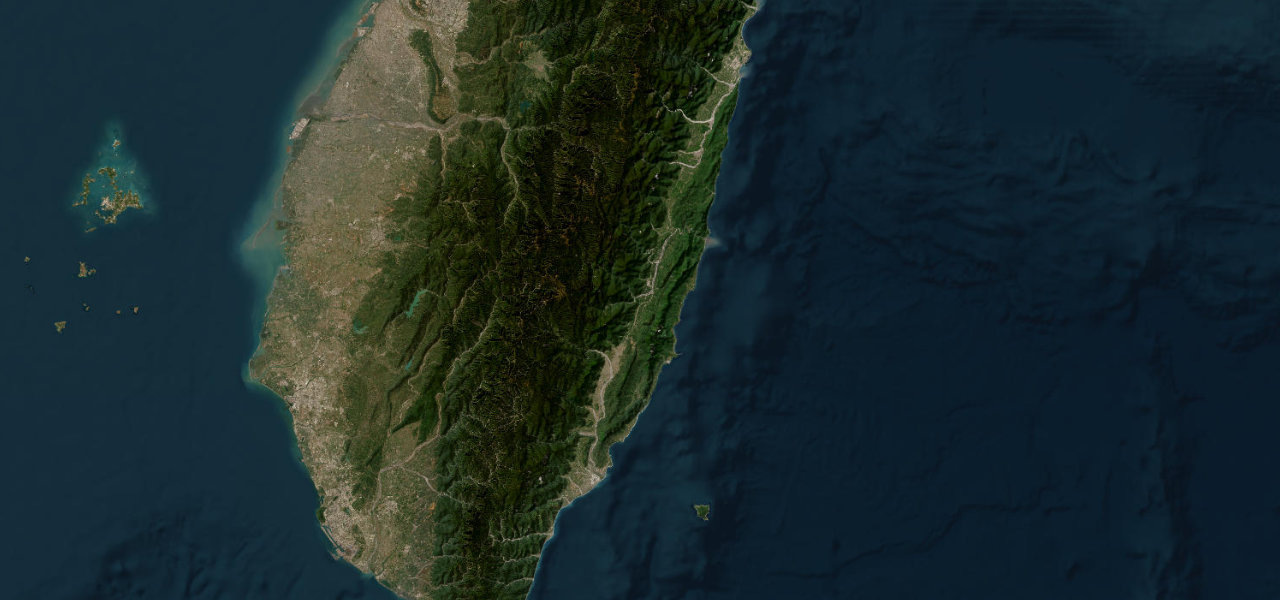
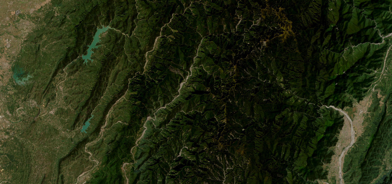
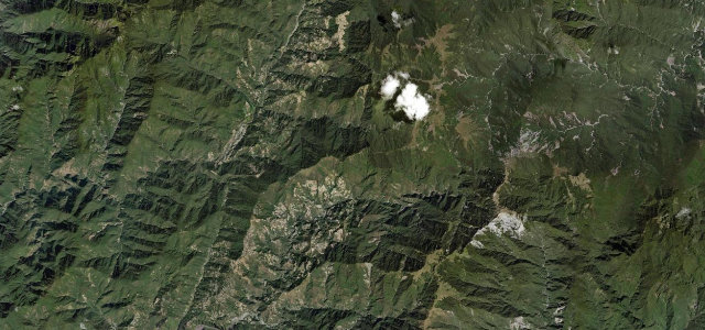
Taiwan’s road network tops out here: Wuling pass at 3,275 m, on the paved climb from Cingjing Farm over Hehuanshan to Dayuling. Alpine meadows, air that’s noticeably thin, and one of the only roads on the island that ever sees snow.
The Wushe branch of Highway 14 climbs from Cingjing Farm over Hehuanshan to Dayuling, reaching Wuling pass at 3275 metres, the highest point on Taiwan’s road network. The fully paved alpine route passes high-mountain meadows and is one of the few Taiwanese roads that sees winter snow. Mind the thin air, sudden fog and occasional ice near the pass.
Scenery
Best seasons
In these collections
In these guides
Where it runs21.3 mi · point to point
Navigate to the start: Apple Maps · Google Maps
Character
Higher than 9 in 10 roads in the catalogue.
Corners
busiest around mile 19Elevation
under 4%4–8%over 8%1,648.4 – 3,279 mFrom the road
Points of interest3 stops
- WulingViewpoint15 mi in
- Hehuan Mountain Dark Sky ParkLandmark11 mi in
- Taroko National Park EntranceLandmark14 mi in
Hazards
- High-altitude fog and cloud
- Winter ice and snow
- Thin air at 3275m
Sources
“At this altitude, there are few trees, so the views are plentiful and spectacular.”
Verified route: mapped from real road geometry and fact-checked by a human editor. How roads get checked
Driving the Hehuanshan Wuling Pass: quick answers
How long does it take to drive the Hehuanshan Wuling Pass?
How difficult is the Hehuanshan Wuling Pass to drive?
When is the best time to drive the Hehuanshan Wuling Pass?
Nearby roads
The closest great drives to Hehuanshan Wuling Pass.