Taoyuan · Taiwan
North Cross-Island Baling
7Daxi to Fuxing
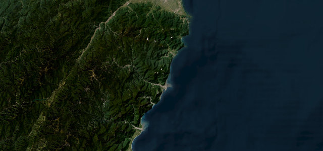
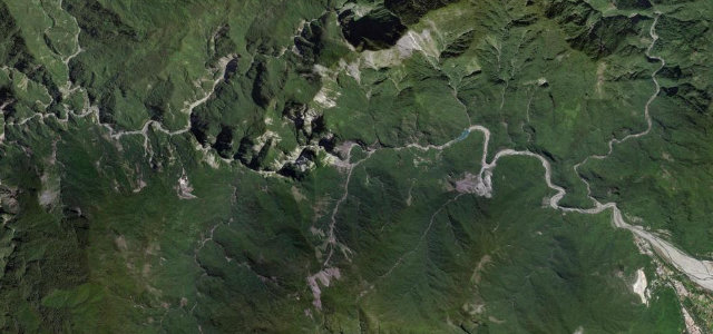
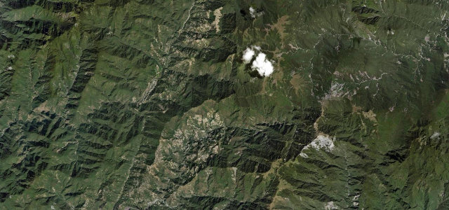
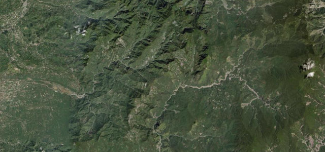
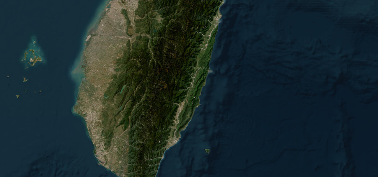
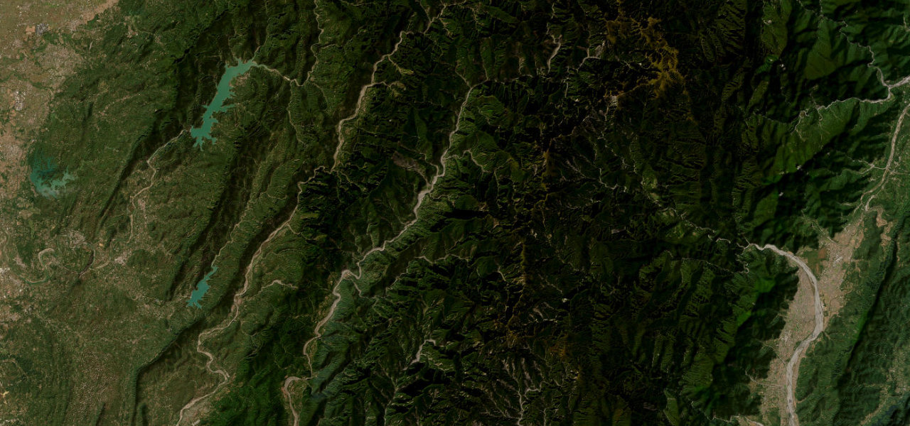
Highway 7 crosses the mountains from Daxi toward Yilan, its quiet middle stretch buried in deep river gorges and cedar forest past the Baling suspension bridges. There are 220 corners along the way.
The Northern Cross-Island Highway follows Highway 7 from Daxi over the mountains toward Yilan, passing the Baling suspension bridges, Mingchi and Qilan forest areas. The middle section is a quiet, winding road through deep river gorges and cedar forest. Mind the rockfall after rain, narrow bridge crossings and stray wildlife.
Scenery
Best seasons
In these collections
Where it runs33.3 mi · point to point
Navigate to the start: Apple Maps · Google Maps
Character
Corners
busiest around mile 15Elevation
under 4%4–8%over 8%125 – 1,046.1 mFrom the road
Points of interest3 stops
- Cihu LakeViewpoint4.1 mi in
- Baling Bridge ViewpointViewpoint28 mi in
- Old Baiji tunnelLandmark4.6 mi in
Hazards
- Rockfall after heavy rain
- Narrow single-lane bridges
- Wildlife on the road
Sources
“Northern Cross-Island Highway features the unique magnificent landscapes of high mountains, rift valleys, tunnels, and rivers”
Verified route: mapped from real road geometry and fact-checked by a human editor. How roads get checked
Driving the North Cross-Island Baling: quick answers
How long does it take to drive the North Cross-Island Baling?
How difficult is the North Cross-Island Baling to drive?
When is the best time to drive the North Cross-Island Baling?
Nearby roads
The closest great drives to North Cross-Island Baling.