Hualien County · Taiwan
Taroko Gorge Central Cross-Island
8Taroko to Tianxiang
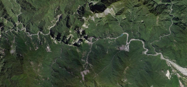
A road threaded through a marble canyon: tunnels, overhangs and cliff galleries stacked above the Liwu River. Since the 2024 earthquake it opens only at set times, which somehow adds to the sense of occasion.
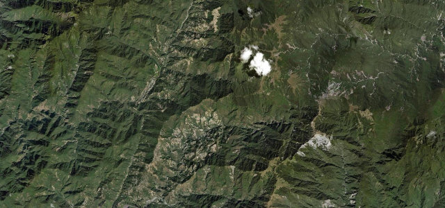
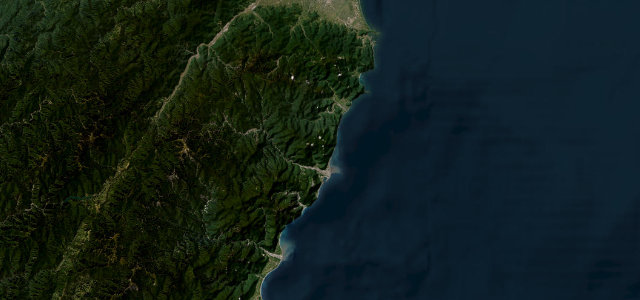
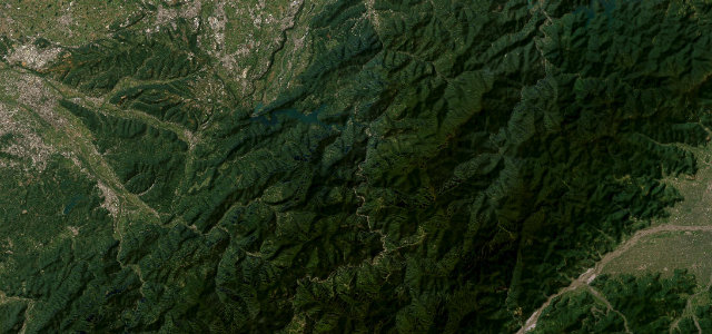
This section of the Central Cross-Island Highway threads through Taroko Gorge, a marble canyon of tunnels, overhangs and cliff galleries above the Liwu River. Following the 2024 earthquake the road reopened only at controlled times with unrepaired pavement and active rockfall zones. Mind the timed access gates, falling rock and frequent single-lane tunnel sections.
A drive of held breath, threading tunnels hewn straight from the marble while the canyon falls away beside you. We don’t forget this one.
Why we picked it
Scenery
Best seasons
In these collections
In these guides
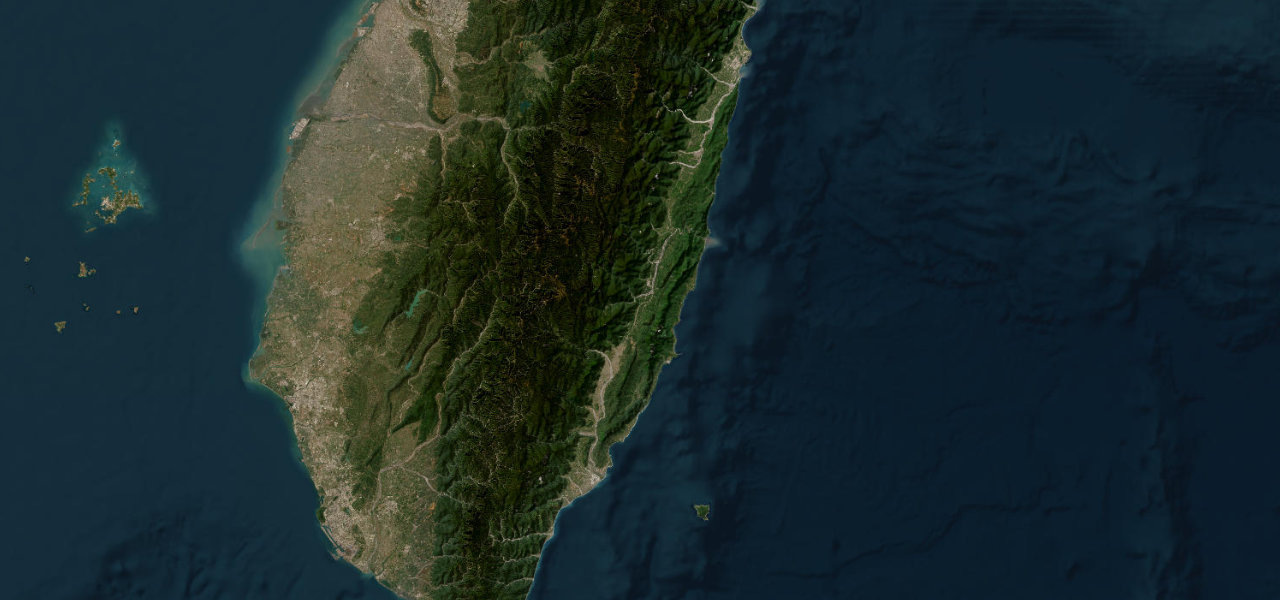
Where it runs10.8 mi · point to point
Navigate to the start: Apple Maps · Google Maps
Character
Corners
busiest around mile 1Elevation
approximateunder 4%4–8%over 8%68.8 – 576 mFrom the road
Points of interest3 stops
- Liwu River ViewpointViewpointat the start
- Wanghai PavilionViewpoint0.3 mi in
- Swallow Grotto (Yanziko) Trail exitLandmark5.8 mi in
Hazards
- Active rockfall and landslides
- Timed controlled-access gates
- Narrow unlit tunnels
Sources
“the most picturesque route in Taiwan”
Verified route: mapped from real road geometry and fact-checked by a human editor. How roads get checked
Driving the Taroko Gorge Central Cross-Island: quick answers
How long does it take to drive the Taroko Gorge Central Cross-Island?
How difficult is the Taroko Gorge Central Cross-Island to drive?
When is the best time to drive the Taroko Gorge Central Cross-Island?
Nearby roads
The closest great drives to Taroko Gorge Central Cross-Island.