East Coast · Taiwan
East Coast Pacific Highway
台11Hualien City to Taimali
Distance113.2 mi182 km
Drive time3 h 27 minon the road
DifficultyEasytightness 3 of 10
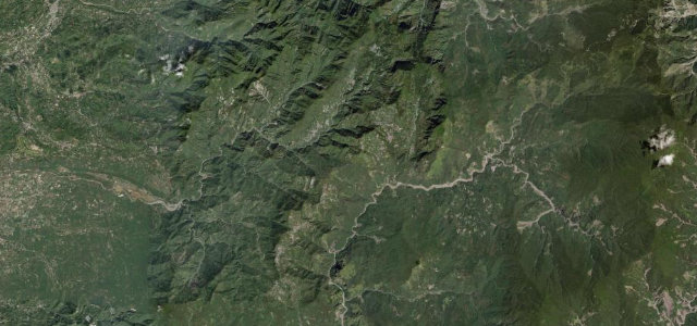
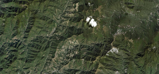
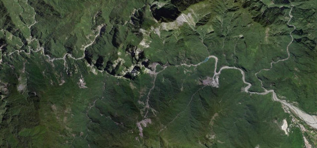
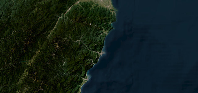
Taiwan’s Highway 11, the Hualien–Taitung Coastal Highway, runs 177 km of unspoiled east coast where the Central Mountain Range plunges straight into the Pacific.
From Ji’an south of Hualien City, Highway 11 splits from Highway 9 and hugs the coast past the Shitiping rock platforms at Fengbin, the sea-stack of Sanxiantai at Chenggong and the Tropic of Cancer monument at Changbin, ending at Taimali where it rejoins Highway 9 for Taitung. Deep-blue Pacific views run the entire length.
Scenery
CoastValleyMountain
Where it runs
Hualien CityStart · East Coast
TaimaliEnd · East Coast
Navigate to the start: Apple Maps · Google Maps
Character
Corners64bends
Tightness3of 10
Max gradient7%≈ 1-in-14
Climb543 mtotal ascent
Summit292 mhighest point of the line · 958 ft
Elevation
under 4%4–8%over 8%23 – 292 mHazards
- typhoon-season closures July to September
- occasional rockfall on cliff sections
- slow fishing-village traffic through towns
See the typical season and live conditions for the high passes ›
Sources: Road geometry © OpenStreetMap contributors
Nearby roads
The closest great drives to East Coast Pacific Highway.
East Coast Pacific Highway
Directions