Central Mountain Range · Taiwan
Southern Cross-Island Highway
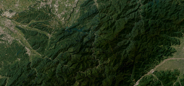
台20Yujing to Guanshan
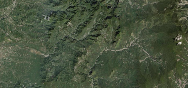
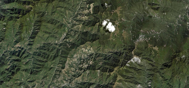
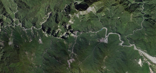
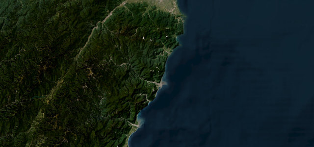
Taiwan’s most dramatic trans-mountain route: Highway 20 climbs from the Tainan plains through Yushan National Park to the 2,722 m Yakou pass, then down the Laonong gorge to Taitung.
Heading east from Yujing, Highway 20 climbs past the Baolai hot springs and up the Laonong Valley. The most scenic section runs from Taoyuan through Meishan to the Tianchi alpine lake and the Yakou tunnel at 2,722 m, with views toward Mount Jade, before descending through aboriginal communities and Wulu Gorge to meet Highway 9 at Guanshan. The central mountain section currently opens only on limited days and hours.
Scenery
Where it runs
Navigate to the start: Apple Maps · Google Maps
Character
Elevation
under 4%4–8%over 8%77 – 2,742 mHazards
- restricted opening hours on the central section
- typhoon damage risk
- high-altitude fog and ice in winter
- limited mobile signal
- landslide risk on steeper sections
Sources: Road geometry © OpenStreetMap contributors
Nearby roads
The closest great drives to Southern Cross-Island Highway.