Jujuy · Argentina
Cuesta de Lipán
RN 52Purmamarca to Salinas Grandes
One of South America’s greatest high-altitude drives: a paved serpentine climb from the multi-coloured quebrada of Purmamarca to 4,170 m, then across the white expanse of the Salinas Grandes salt flat.
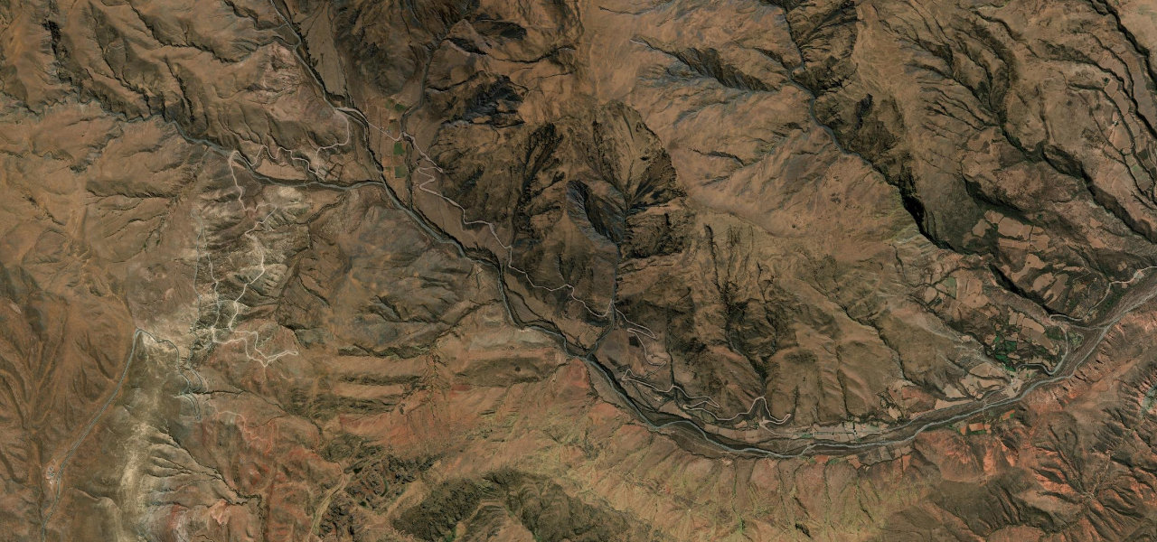
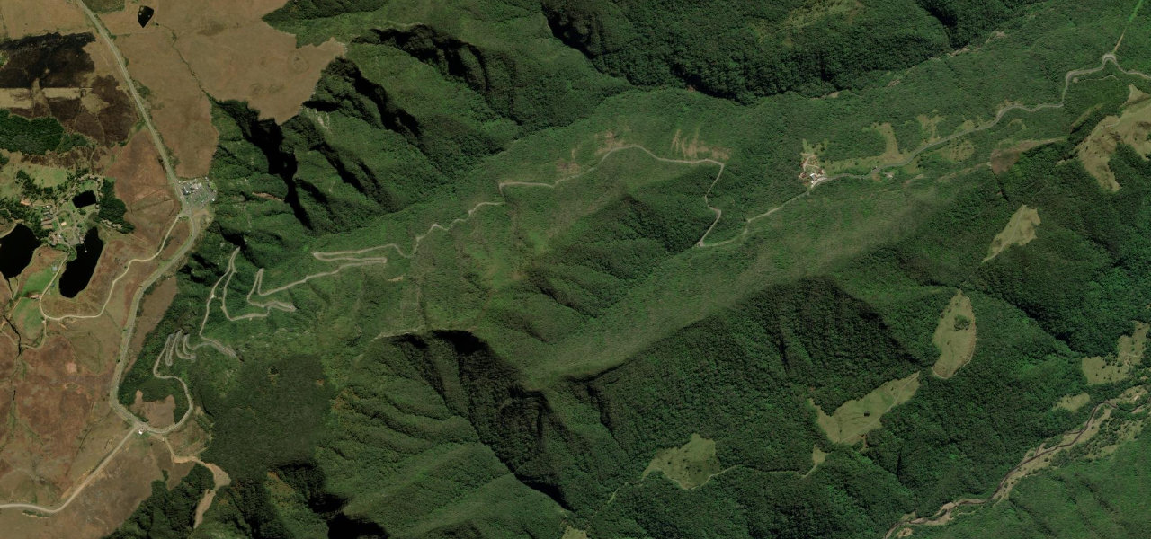
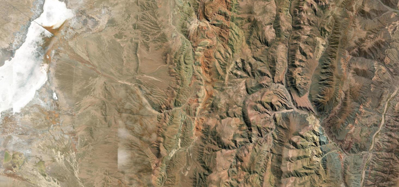
From the technicolour village of Purmamarca at 2,192 m, Ruta 52 ascends through barren Andean terrain in dozens of switchbacks, with a viewpoint below the summit revealing the whole serpentine road. At Abra de Potrerillos (4,170 m) the landscape opens to the high puna; the descent reaches the ghostly Salinas Grandes salt flat at 3,450 m, with vicuñas roaming across the road.
A perfectly engineered serpentine climbing to 4,170 m above the painted village of Purmamarca before spilling onto the blinding white of the Salinas Grandes salt flat.
Why we picked it
Scenery
Best seasons
In these collections
In these guides
Cuesta de Lipán on the map40.9 mi · point to point
Navigate to the start: Apple Maps · Google Maps
Character
Higher than 9 in 10 roads in the catalogue.
Corners
busiest around mile 14Elevation
under 4%4–8%over 8%2,304 – 4,181.1 mPoints of interest3 stops
- La Tortuga piedraViewpoint24 mi in
- Mirador TerminalViewpoint0.5 mi in
- Mirador los ColoradosViewpoint0.3 mi in
Hazards
- Altitude sickness above 4,000 m
- Sudden fog and storms
- Vicuña and llama crossings
- Heavy commercial traffic
- Deteriorating asphalt in sections
Sources
“It's a winding steep road with countless turns and hairpin turns”
Verified route: mapped from real road geometry and fact-checked by a human editor. How roads get checked
Driving the Cuesta de Lipán: quick answers
How long does it take to drive the Cuesta de Lipán?
How difficult is the Cuesta de Lipán to drive?
When is the best time to drive the Cuesta de Lipán?
Nearby roads
The closest great drives to Cuesta de Lipán.