
 Country guide
The best driving roads in Argentina
All 5 driving roads in Argentina on one interactive map, including 1 world icon, each with its route, climb and best seasons.
Roads51 world icon
Combined190 mi306 km of driving
High point4,181 m13,717 ft
The roads
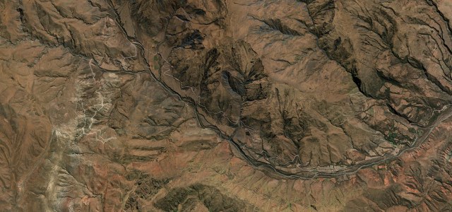
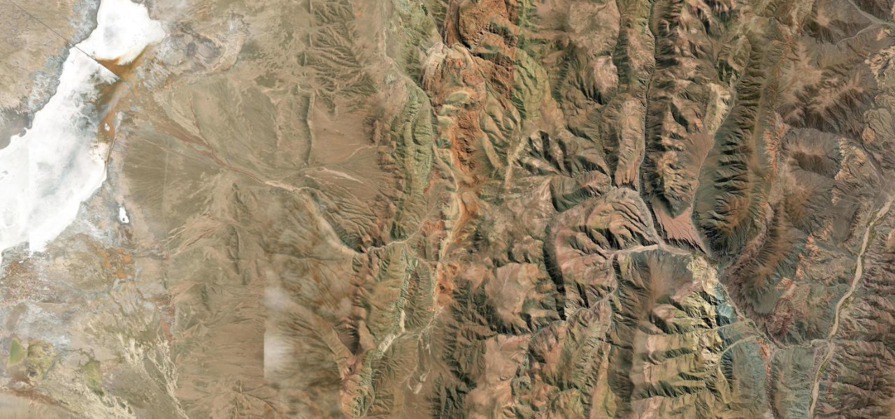 Cuesta de Lipán41 mi · 1 h 22 min · 17 hairpinsView the roadbook ›
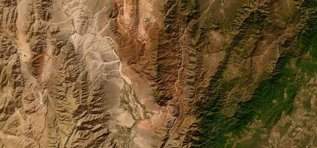
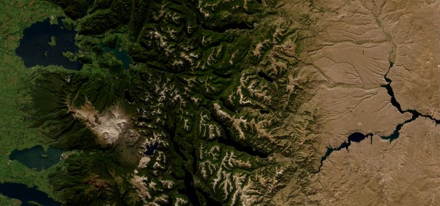
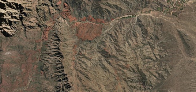
Collections featuring Argentina
Guides for this region
Nearby countries

 Chile

 Bolivia

 Brazil
Driving in Argentina: common questions
What is the best driving road in Argentina?
Cuesta de Lipán is the place to start. One of South America’s greatest high-altitude drives: a paved serpentine climb from the multi-coloured quebrada of Purmamarca to 4,170 m, then across the white expanse of the Salinas Grandes salt flat.
How many great driving roads does Argentina have?
5 roads in our catalogue, including 1 world icon, 190 miles of driving in all, every one traced from OpenStreetMap.
When is the best time to drive in Argentina?
Most of the roads here are at their best in spring and autumn.
What is the highest road in Argentina?
Cuesta de Lipán is the highest, climbing to about 4,181 m (13,717 ft).