La Rioja · Argentina
Cuesta de Miranda
RN 40Sañogasta to Los Tambillos
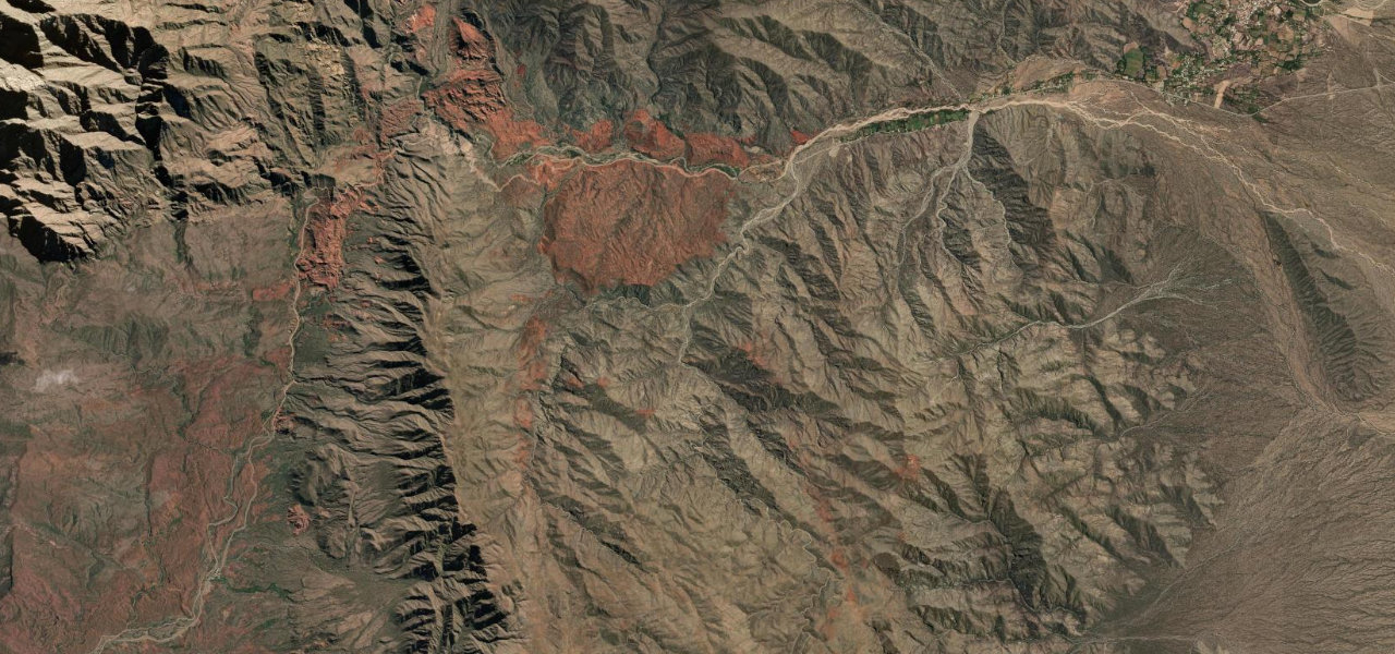
RN 40 follows the Río Miranda into the deep canyon between the Famatina and Sañogasta ranges, then climbs a rebuilt, fully paved corniche to Bordo Atravesado at 2,040 m and drops to Los Tambillos on the Villa Unión side.
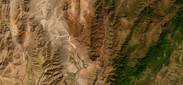
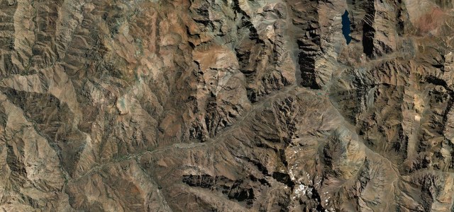
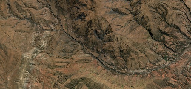
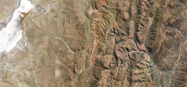
From the Sañogasta turn-off, RN 40 heads west past the village of Miranda, at about 1,475 m, and follows the Río Miranda through a valley where green scrub and cardón cactus stand out against red, ochre and orange ground. Beyond the ravine of La Pelea, where troops dug in during a battle in 1867, the road climbs the cuesta on a corniche to Bordo Atravesado, at 2,040 m the highest point. The original gravel road, built by the Italian engineer Francisco Bolloli between 1918 and 1928, had 320 bends and was barely wider than one lane; between 2011 and 2015 it was realigned, widened to 6.7 m and paved, with a third lane for slow traffic on some climbs, steel guard rails and rockfall netting. Two stretches of the old road survive for walking or cycling, one beside the Mirador Cuesta de Miranda near the top. From the summit the southern side descends on gentler gradients to the hamlet of Los Tambillos. Condors are often seen overhead, and the speed limit is mostly 30 km/h.
Scenery
Best seasons
In these collections
In these guides
Cuesta de Miranda on the map19.0 mi · point to point
Navigate to the start: Apple Maps · Google Maps
Character
Corners
busiest around mile 10Elevation
under 4%4 to 8%over 8%1,259 to 2,078 mPoints of interest4 stops
- MirandaVillage on the Río Miranda at about 1,475 m, on the way up to the cuesta.1.1 mi in
- La PeleaViewpoint over the ravine where troops dug in during a battle in 1867.5.7 mi in
- Mirador Cuesta de MirandaViewpoint near the top, beside a preserved stretch of the old gravel road you can walk.11 mi in
- MontañesRestaurant and hostel in Los Tambillos at the foot of the descent.19 mi in
Hazards
- Closed at short notice for ice, sleet and fog in winter
- Rockfalls after heavy summer rain
- Heavy trucks on the long grades
- Speed limit mostly 30 km/h
See the typical season and live conditions for the high passes ›
Sources
“The mythical Cuesta de Miranda, is a winding section of Ruta 40 that crosses the Sierra de Famatina and the Sierra de Sañogasta mountain ranges”
“Este espectacular tramo de la legendaria Ruta 40 tiene una de las cuestas más hermosas de la Argentina.”
“El camino de cornisa asfaltado asciende hasta los dos mil metros de altura, desde donde puede apreciarse el río Miranda, la quebrada conocida como La Pelea y el Cañón de Talampaya.”
Route traced from OpenStreetMap, with its stats measured from that line. How the roads are mapped
Driving the Cuesta de Miranda: quick answers
How long does it take to drive the Cuesta de Miranda?
How difficult is the Cuesta de Miranda to drive?
When is the best time to drive the Cuesta de Miranda?
Nearby roads
The closest great drives to Cuesta de Miranda.