Araucania · Chile
Paso Mamuil Malal
199-CHPucon to Paso Mamuil Malal
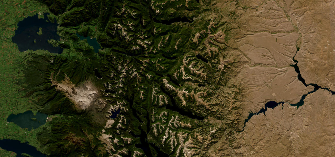
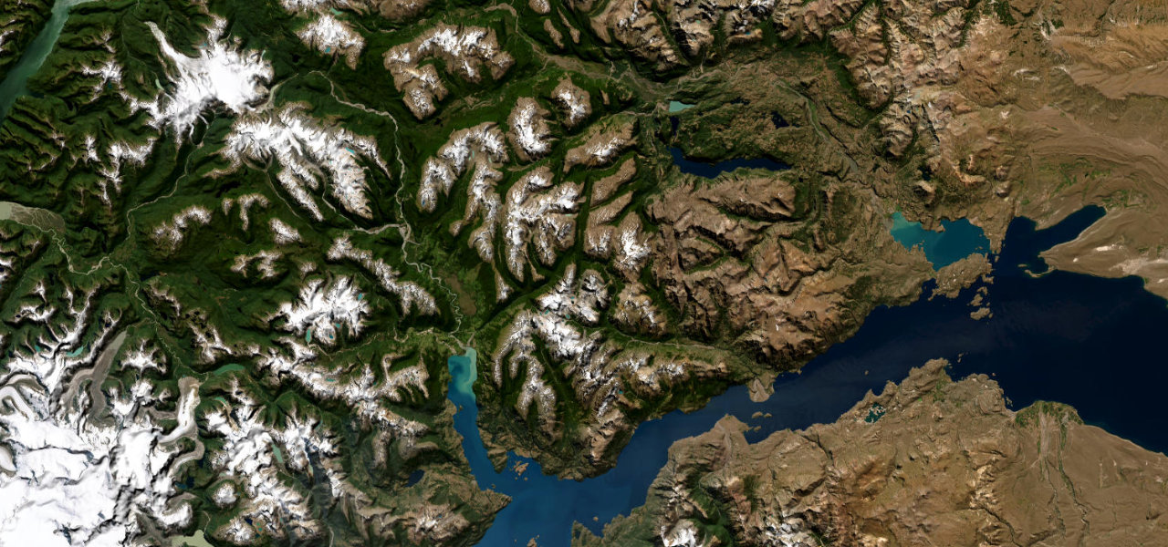
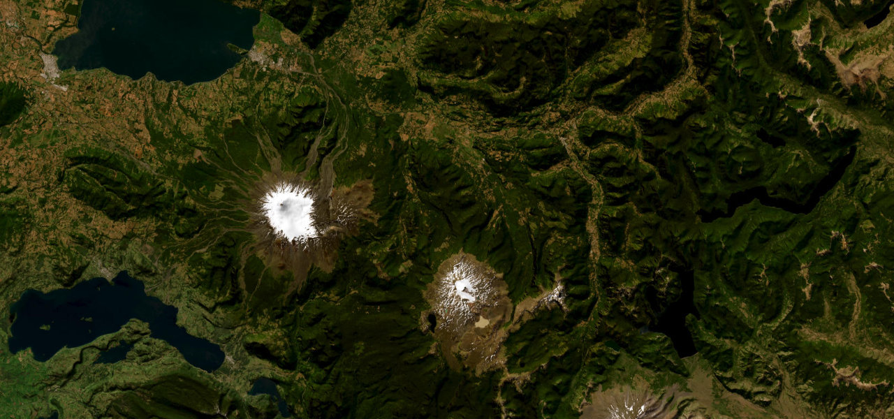
A paved Andean crossing from the lakeside resort of Pucon to the Argentine frontier, climbing the Trancura valley through araucaria monkey-puzzle forest with the perfect cone of Lanin volcano filling the windscreen.
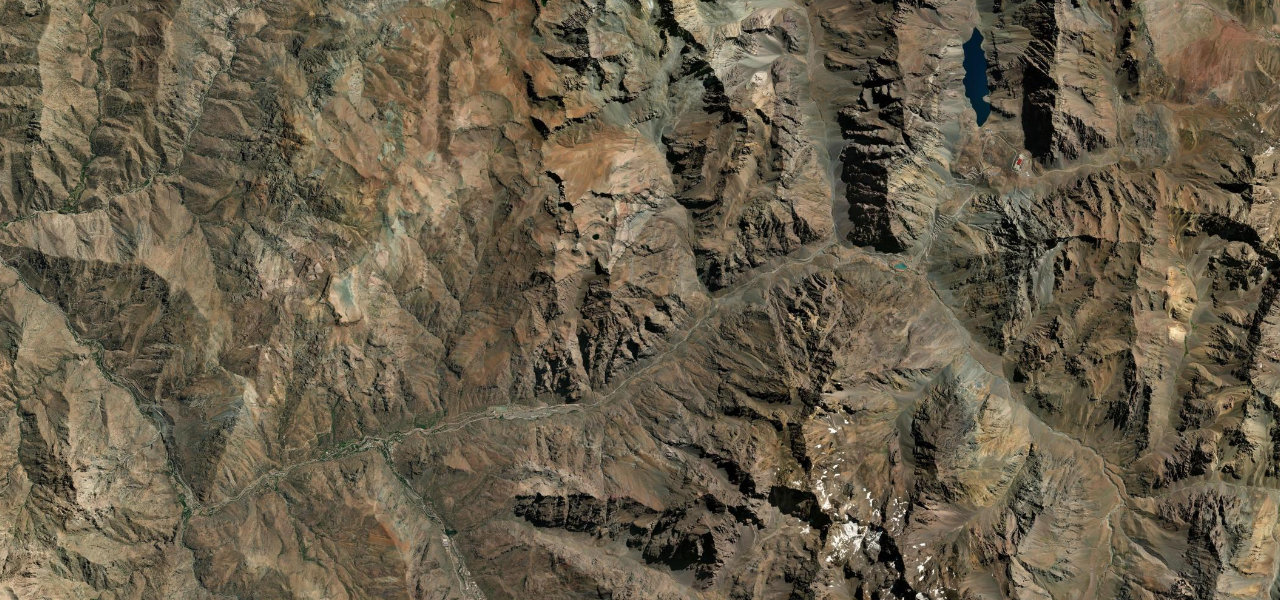
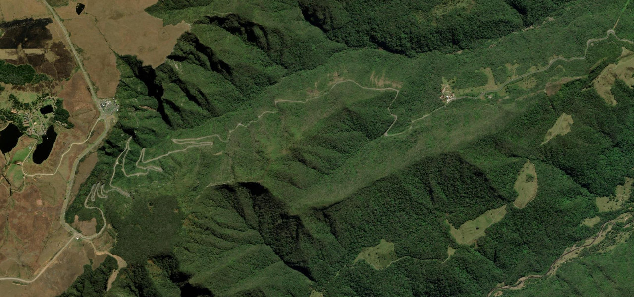
Leaving Pucon the 199-CH runs east along the Trancura river past Curarrehue, the farmland giving way to ancient stands of araucaria, the umbrella-shaped monkey-puzzles that are emblematic of the Chilean Andes. The road climbs steadily toward the Mamuil Malal (Tromen) pass on the flank of Lanin, a near-symmetrical 3,747 m volcano that dominates the drive, before reaching the remote border post. Quiet, fully sealed and framed by volcano and forest the whole way.
Scenery
Featured in these guides
Where it runs
Navigate to the start: Apple Maps · Google Maps
Character
Elevation
under 4%4–8%over 8%222 – 1,161 mPoints of interest
- Llalin, la tejedora, esculturaLandmark
- Mirador Sector PuescoViewpoint
- Centro Artesanal PucónLandmark
Hazards
- Snow can close the pass in winter
- Volcanic ash advisories when Villarrica or Lanin are active
- Loose gravel on the shoulders
- Slow border formalities at the frontier
See the typical season and live conditions for the high passes ›
Sources: Road geometry © OpenStreetMap contributors
Nearby roads
The closest great drives to Paso Mamuil Malal.