Aysén · Chile
Carretera Austral
7Villa Cerro Castillo to Puerto Río Tranquilo
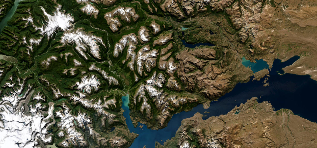
Ruta 7 leaves the rock spires of Cerro Castillo, drops into the Río Ibáñez valley and runs the shore of Lago General Carrera, South America’s second-largest freshwater lake, to the Marble Caves at Puerto Río Tranquilo. Mostly gravel, punishingly corrugated, properly remote.
Departing Villa Cerro Castillo beneath the park’s rock spires, Ruta 7 drops into the Río Ibáñez valley and crosses into remote Patagonia. It threads through Valle Murta and hugs the shore of Lago General Carrera, the second-largest freshwater lake in South America, before arriving at Puerto Río Tranquilo and its Marble Caves. Largely gravel with punishing corrugation; high clearance recommended.
Scenery
Best seasons
In these collections
In these guides
Carretera Austral on the map74.1 mi · point to point
Navigate to the start: Apple Maps · Google Maps
Character
Corners
busiest around mile 38Elevation
under 4%4–8%over 8%204 – 616.2 mPoints of interest2 stops
- Mirador Lago General CarreraViewpoint62 mi in
- Puente MansoViewpoint11 mi in
Hazards
- Unpaved gravel sections (ripio)
- Corrugated surface
- High winds
- River fords after heavy rain
- Loose rocks
Sources
“The journey along the shoreline of the lake to reach Puerto Río Tranquilo is truly fantastical.”
Verified route: mapped from real road geometry and fact-checked by a human editor. How roads get checked
Driving the Carretera Austral: quick answers
How long does it take to drive the Carretera Austral?
How difficult is the Carretera Austral to drive?
When is the best time to drive the Carretera Austral?
Is the Carretera Austral fully paved?
Nearby roads
The closest great drives to Carretera Austral.