Salta · Argentina
Quebrada de las Conchas
RN 68Alemanía to Cafayate
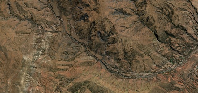
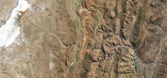
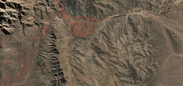
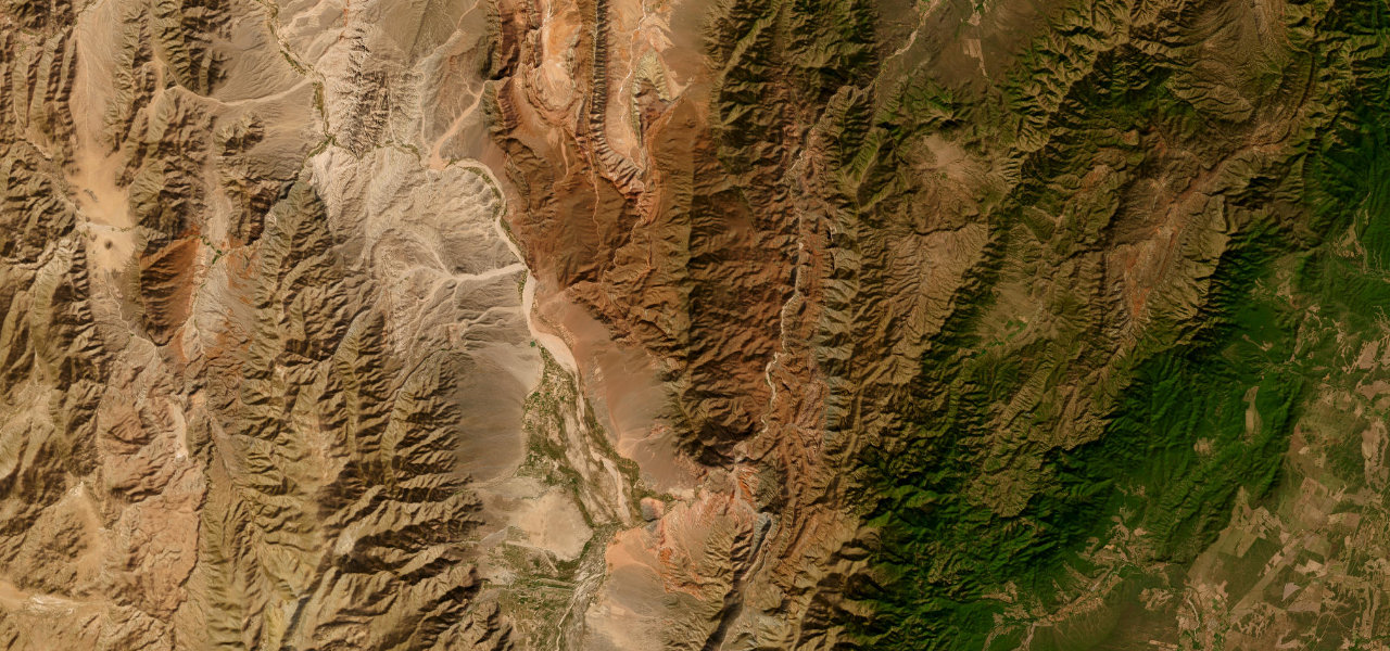
RN 68 runs about 81 km from Alemanía to Cafayate through the Quebrada de las Conchas, a red rock desert gorge beside the Río de las Conchas, with stops at the Garganta del Diablo, the Anfiteatro and named rock formations.
From the hamlet of Alemanía, RN 68 enters the Quebrada de las Conchas and follows the Río de las Conchas south-west on good asphalt through a desert of red and multicoloured rock. The first big stop is the Garganta del Diablo, a rock cleft you can walk into, with the Anfiteatro, a round amphitheatre of red rock, just beyond; both have car parks and stalls. Further on, the Tres Cruces viewpoint looks down on the river winding between red hills, and a path at La Yesera leads about 30 minutes into a valley of coloured rock. El Sapo, El Fraile, El Obelisco and Los Castillos stand beside the road, and near the Cafayate end the dunes of Los Médanos are about ten minutes’ walk away. The road ends at the junction with RN 40 on the northern edge of Cafayate. Summer rain brings rockfalls: in February 2026 Vialidad restricted traffic between km 23 and km 44 to clear slides and debris from the dips.
Scenery
Best seasons
In these collections
In these guides
Quebrada de las Conchas on the map50.2 mi · point to point
Navigate to the start: Apple Maps · Google Maps
Character
Corners
busiest around mile 8Elevation
under 4%4 to 8%over 8%1,183 to 1,632 mPoints of interest6 stops
- Garganta del DiabloA cleft in the red rock you can walk into from the car park, the busiest stop in the gorge.21 mi in
- El AnfiteatroA round amphitheatre of red rock just past the Garganta del Diablo, with food and craft stalls at the car park.21 mi in
- Mirador Tres CrucesViewpoint over the Río de las Conchas winding between red hills; the hill behind gives a wider view.24 mi in
- La YeseraRestaurant with cold drinks and snacks near the start of the La Yesera walk into a valley of coloured rock.33 mi in
- Los CastillosRoadside photo stop below red rock cliffs with the river in front.38 mi in
- Los MédanosSand dunes about ten minutes’ walk from the road, signposted only when coming from Cafayate.47 mi in
Hazards
- Rockfalls and slides after summer storms
- Debris and water in the dips after rain
- Crowded car parks at the Garganta del Diablo and Anfiteatro
Sources
“The route between Salta Argentina and Cafayate via the RN68 (also called Quebrada de las Conchas) is one of the most beautiful routes in Argentina.”
“La ruta nacional 68 es una de las rutas escénicas más destacadas del norte argentino.”
Route traced from OpenStreetMap, with its stats measured from that line. How the roads are mapped
Driving the Quebrada de las Conchas: quick answers
How long does it take to drive the Quebrada de las Conchas?
How difficult is the Quebrada de las Conchas to drive?
When is the best time to drive the Quebrada de las Conchas?
Nearby roads
The closest great drives to Quebrada de las Conchas.