Antofagasta · Chile
San Pedro de Atacama to Paso de Jama
CH-27San Pedro de Atacama to Paso de Jama
Chile’s road to Paso de Jama climbs about 2,400 m from San Pedro de Atacama to 4,832 m at Portezuelo Paranal, then crosses salt flats and lagoons in Los Flamencos National Reserve with no fuel until the border.
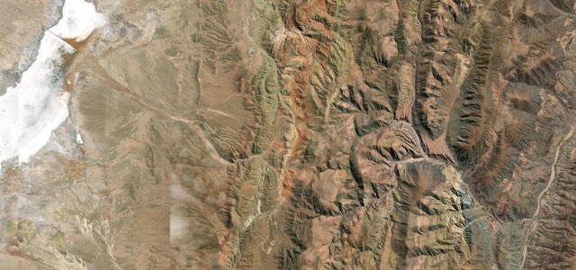
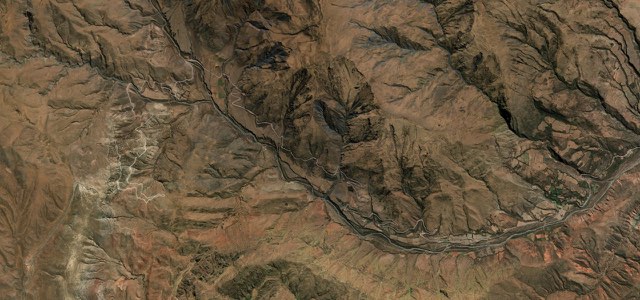
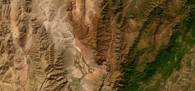
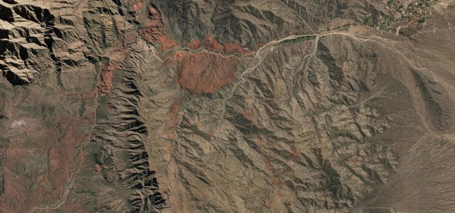
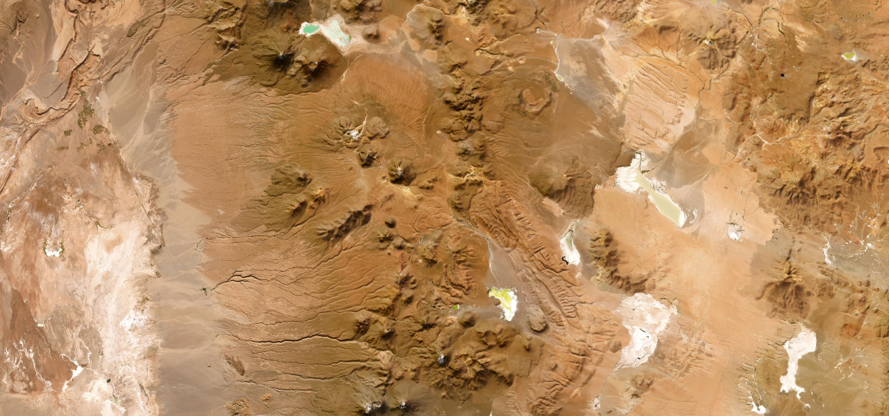
Ruta 27 leaves the eastern edge of San Pedro de Atacama, at about 2,400 m, and climbs long and steep towards Licancabur, past the Chilean post for the Hito Cajón crossing into Bolivia; the steepest ramps reach 12.6%. It tops out at 4,832 m at Portezuelo Paranal, one of the highest paved roads in South America, then runs across an arid high plateau past the Salar de Pujsa and the Salar de Tara and Aguas Calientes sectors of Los Flamencos National Reserve. Much of the plateau is straight and the best views come on the descent from the pass; the wind-carved pillars of the Monjes de la Pacana stand just off the road, with a rough track on towards the Salar de Tara. Past the Salar de Quisquiro the road reaches the Argentine border at Paso de Jama, 4,283 m, where it becomes RN 52. Opened in 1991 and paved throughout by 2005, it carries trucks between northern Argentina and the Chilean ports, and there is no fuel after San Pedro.
Scenery
Best seasons
In these collections
In these guides
San Pedro de Atacama to Paso de Jama on the map95.2 mi · point to point
Navigate to the start: Apple Maps · Google Maps
Character
Higher than 9 in 10 roads in the catalogue.
Corners
busiest around mile 60Elevation
under 4%4 to 8%over 8%2,428 to 4,828 mPoints of interest5 stops
- Complejo Fronterizo Hito CajónChilean post for the Hito Cajón crossing into Bolivia, below Licancabur.25 mi in
- Monjes de la PacanaWind-carved stone pillars just off the road; the track on to the Salar de Tara is rough.62 mi in
- Laguna Aguas CalientesRoadside viewpoint over the Salar de Aguas Calientes, part of Los Flamencos National Reserve.67 mi in
- Mirador Salar de QuisquiroViewpoint and small car park over the Salar de Quisquiro, on Lickan Antay community land.81 mi in
- Paso de JamaViewpoint by the boundary marker at 4,283 m, where the road becomes Argentina’s RN 52.95 mi in
Hazards
- Closed by snow and ice, sometimes for weeks in winter
- Extreme altitude, above 4,800 m
- No fuel for up to 160 km
- Long steep grades, up to 12.6%
- Heavy trucks to and from Argentina
- Strong wind, fierce sun and no phone signal
See the typical season and live conditions for the high passes ›
Sources
“The road reaches its highest point at Portezuelo Paranal, a mountain pass at 4,832 meters (15,853 feet) above sea level. It is one of the highest paved roads in South America.”
“This road is a good possibility for 2WD-drivers to experience a road at very high altitude in a landscape without vegetation for many miles, looking like the Mars planet.”
“The real thrill is the drive to the pass.”
Route traced from OpenStreetMap, with its stats measured from that line. How the roads are mapped
Driving the San Pedro de Atacama to Paso de Jama: quick answers
How long does it take to drive the San Pedro de Atacama to Paso de Jama?
How difficult is the San Pedro de Atacama to Paso de Jama to drive?
When is the best time to drive the San Pedro de Atacama to Paso de Jama?
Nearby roads
The closest great drives to San Pedro de Atacama to Paso de Jama.