Arequipa · Peru
Abra Patapampa
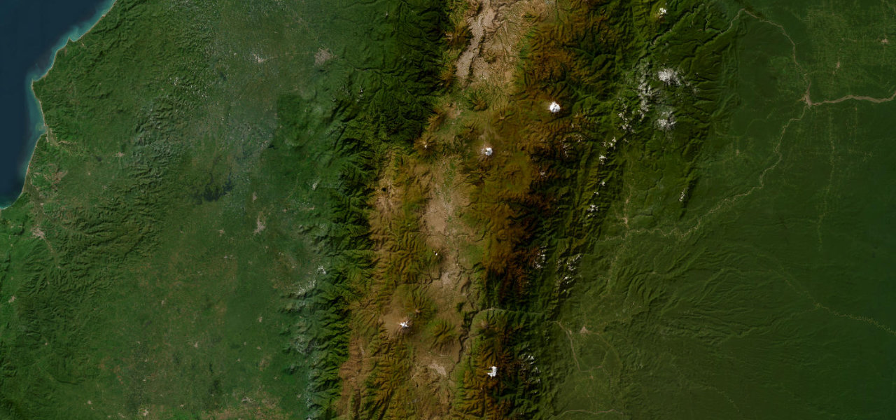
PE-34AChivay to Arequipa
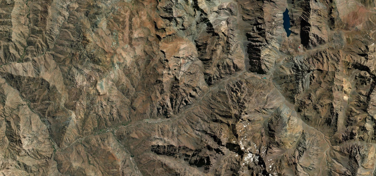
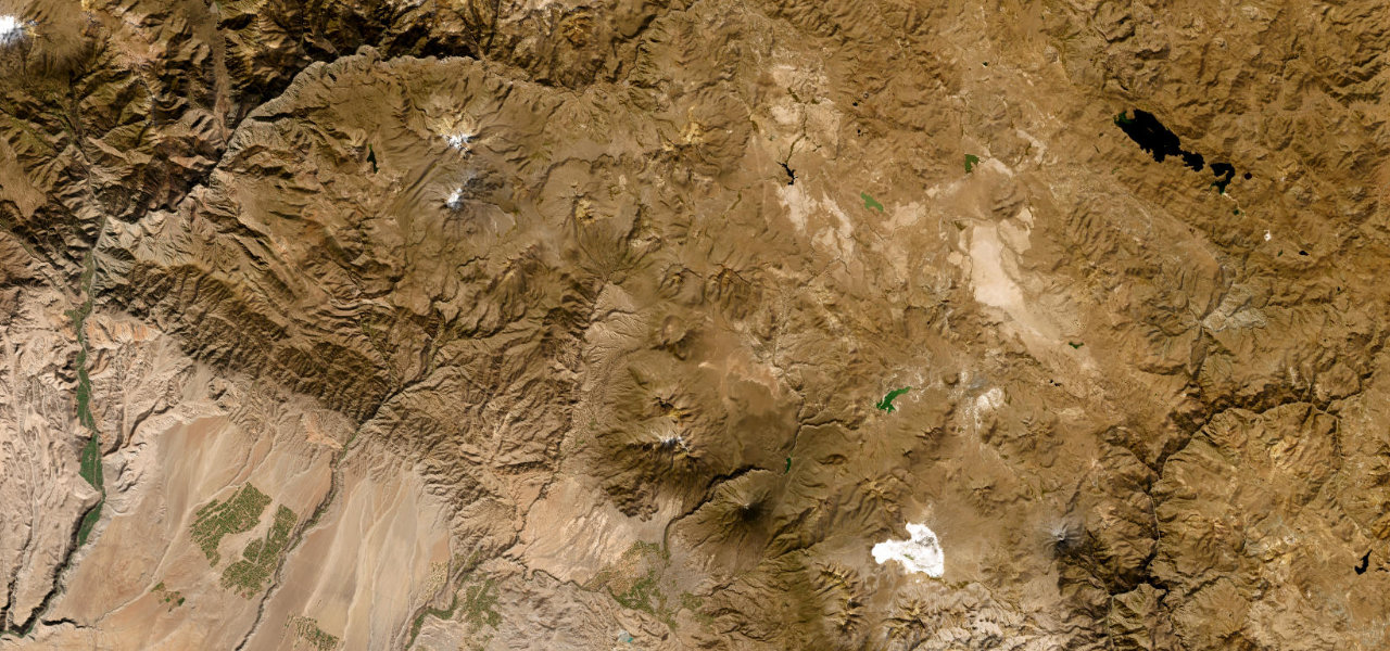
A fully paved high-altitude road from Colca Canyon to Arequipa, cresting Abra Patapampa at 4,879 m, one of the highest paved passes in the Americas, with panoramas of the active volcanoes Sabancaya and Ampato.
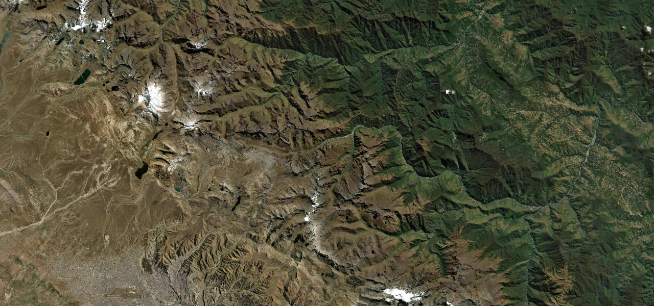
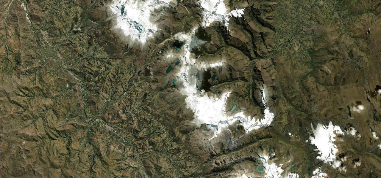
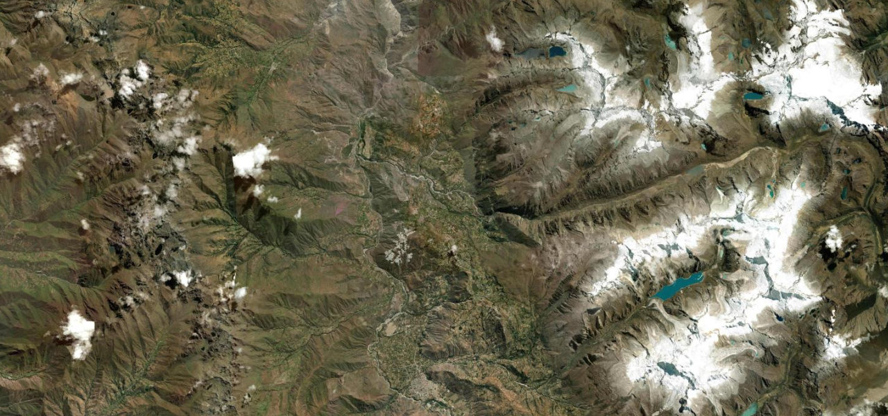
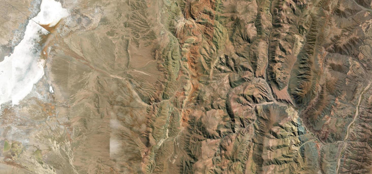
From Chivay at the head of the Colca Canyon the paved road climbs steadily across altiplano grasslands of vicuñas and alpacas. At 4,879 m, Abra Patapampa is marked by stone apachetas and a viewpoint taking in Hualca Hualca, Sabancaya and Ampato, three volcanoes in one panorama. The surface is good, gradients gentle, traffic light, before the long descent through puna to Arequipa.
Where it runs
Navigate to the start: Apple Maps · Google Maps
Character
Higher than 9 in 10 roads in the catalogue.
Elevation
under 4%4–8%over 8%2,347 – 4,870 mHazards
- altitude sickness above 4,500 m
- short gravel sections near the summit
- ice and snow November to April
- limited rescue services
Sources: Road geometry © OpenStreetMap contributors
Nearby roads
The closest great drives to Abra Patapampa.