Ancash · Peru
Cañón del Pato
PE-3NCaraz to Huallanca
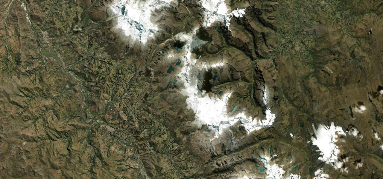
A road hacked from sheer Andean canyon walls, threading 35 one-lane unlit tunnels through solid rock above a 1,000 m drop to the Santa River, one of Peru’s most dramatic drives.
Heading north from Caraz, the rough PE-3N enters the Cañón del Pato where the walls close in and the road clings to a ledge above the Río Santa. The 35 hand-cut tunnels, each one-lane and unlit, are the centrepiece: you emerge from each into another section of sheer cliff and sky. The road carries bus and truck traffic so patience at tunnel mouths is essential; the walls rise over 1,000 m above the river.
Scenery
Best seasons
In these collections
In these guides
Cañón del Pato on the map23.9 mi · point to point
Navigate to the start: Apple Maps · Google Maps
Character
Higher than 9 in 10 roads in the catalogue.
Corners
busiest around mile 3Elevation
under 4%4–8%over 8%1,861.4 – 3,181 mPoints of interest3 stops
- ChoquechacaViewpoint11 mi in
- Cañón del PatoLandmark24 mi in
- Bocatoma Cañón del PatoLandmark23 mi in
Hazards
- 35 unlit one-lane tunnels
- No passing points in the tunnels
- Falling rocks
- Narrow ledge road
- Oncoming trucks
- Rainy-season closures
See the typical season and live conditions for the high passes ›
Sources
“With 35 tunnels in a one-way length of just under 8 miles (12 km), that's about four tunnels for each mile.”
Verified route: mapped from real road geometry and fact-checked by a human editor. How roads get checked
Driving the Cañón del Pato: quick answers
How long does it take to drive the Cañón del Pato?
How difficult is the Cañón del Pato to drive?
When is the best time to drive the Cañón del Pato?
Is the Cañón del Pato fully paved?
Nearby roads
The closest great drives to Cañón del Pato.