Putumayo · Colombia
Trampolín de la Muerte
RN10San Francisco to Mocoa
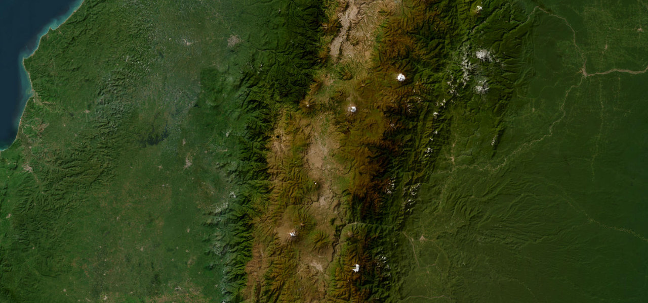
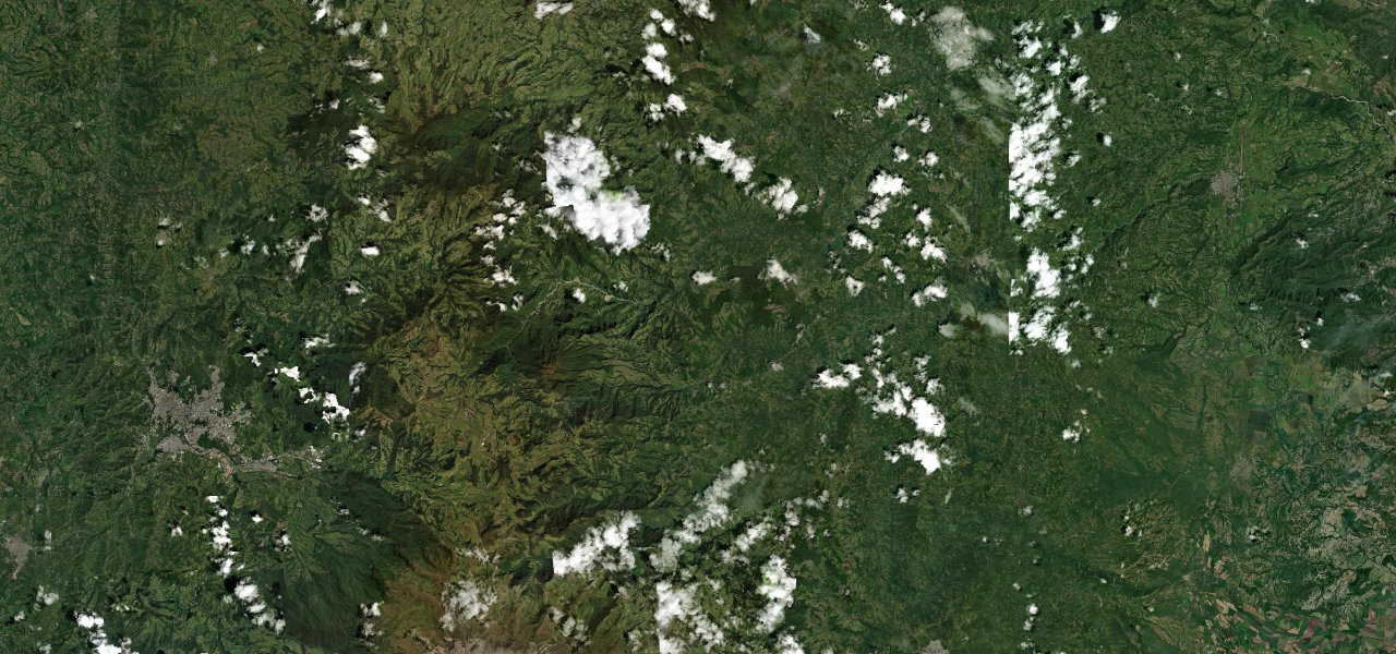
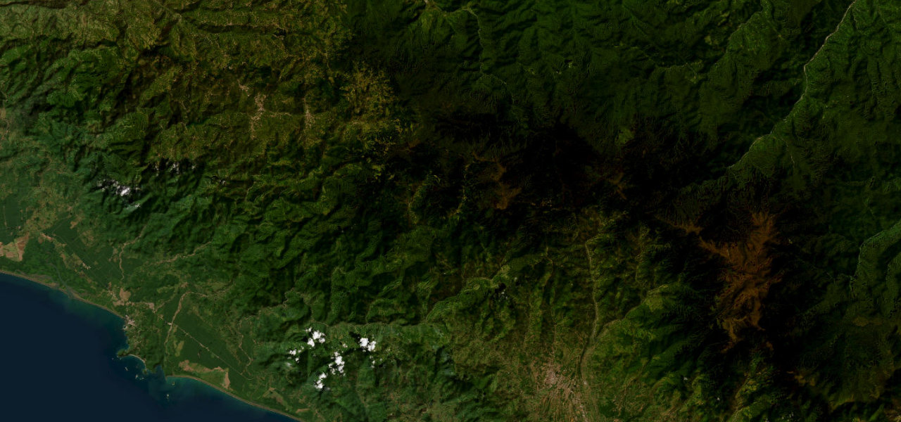
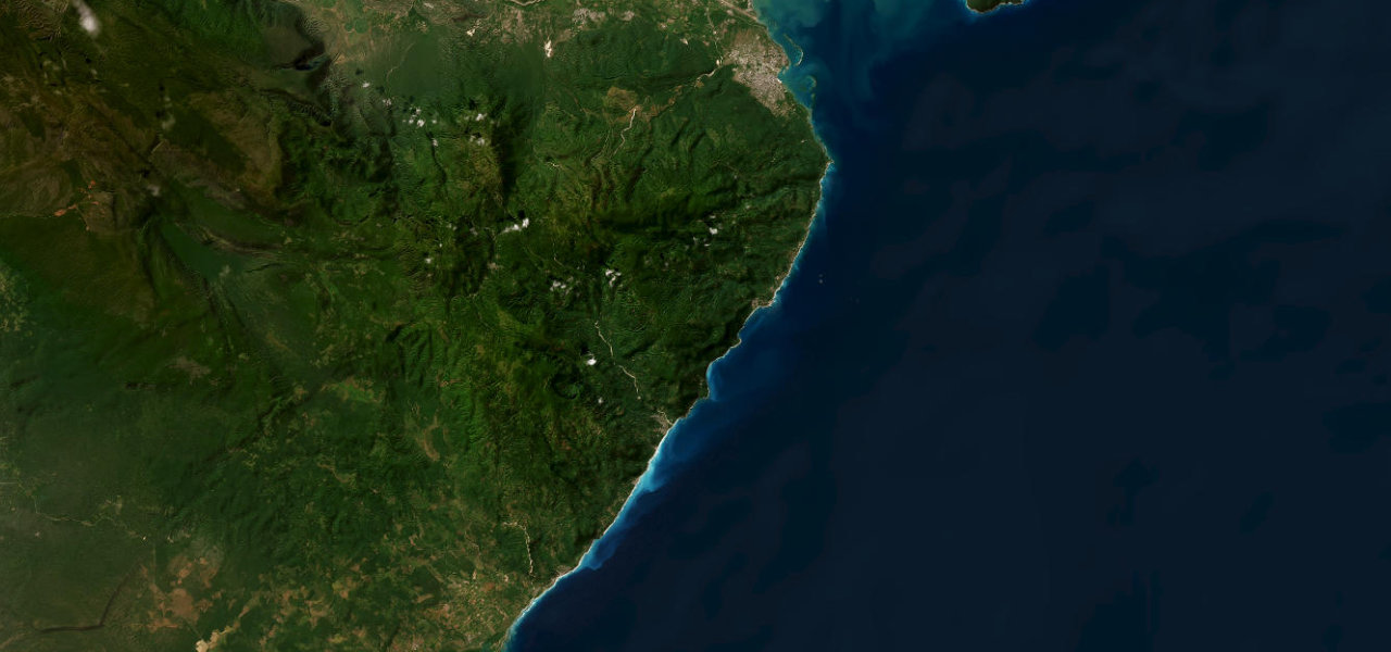
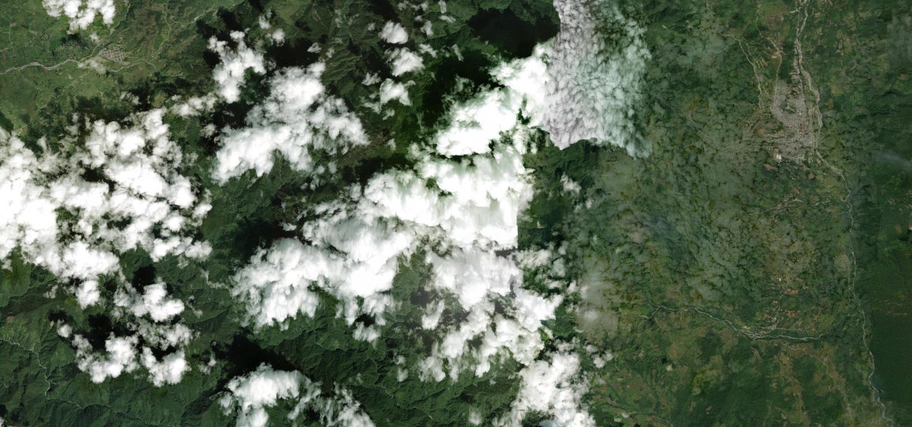
Colombia’s most notorious road snakes 75 km through cloud forest between San Francisco and Mocoa on a single-lane gravel shelf carved into vertiginous cliffs, named for the many fatal accidents along its edge.
From San Francisco at ~2,200 m the road plunges into cloud forest on 270-degree switchbacks, the gravel hugging a sheer cliff edge, alternating between jungle ridges and river gorges past waterfalls that cascade across the carriageway, down to Mocoa at 600 m in the upper Amazon. Travel only in dry weather; one night of rain can close it for days.
Scenery
Where it runs
Navigate to the start: Apple Maps · Google Maps
Character
Steeper than 9 in 10 roads here in the catalogue.
Elevation
under 4%4–8%over 8%600 – 2,732 mHazards
- landslides
- narrow single-lane gravel
- blind corners
- no guardrails
- dense fog
- river crossings
- heavy trucks
Sources: Road geometry © OpenStreetMap contributors
Nearby roads
The closest great drives to Trampolín de la Muerte.