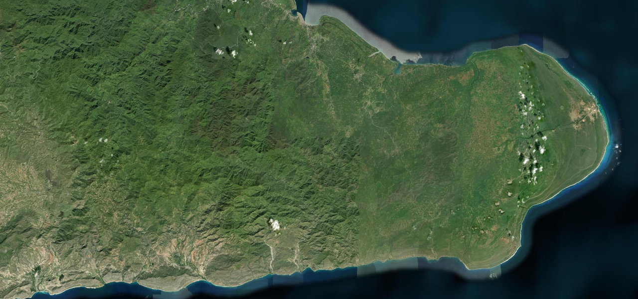
Blue Mountains · Jamaica
Blue Mountains Road
B1Kingston to Mavis Bank
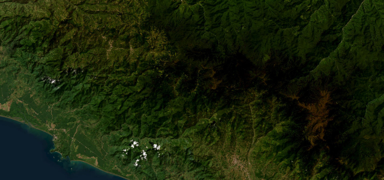
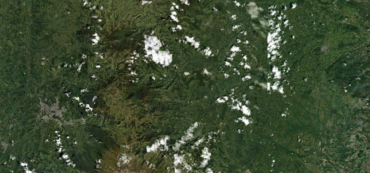
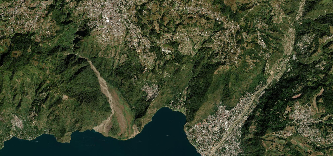
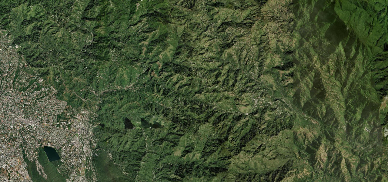
Jamaica’s Blue Mountains climb, leaving Kingston within minutes for the Hope River gorge and coffee country on a road so narrow that meeting traffic means reversing to a passing place.
The B1 leaves the bustle of Kingston at Papine and almost immediately tightens into a single-track climb hugging the banks of the Hope River through Gordon Town. Tree ferns and Blue Mountain coffee estates crowd the verges as the road switchbacks up toward Mavis Bank, the gateway to the island’s highest country. It is steep, intimate and visceral, demanding constant attention and courtesy at the passing places.
Scenery
Where it runs
Navigate to the start: Apple Maps · Google Maps
Character
Elevation
under 4%4–8%over 8%267 – 1,215 mPoints of interest
- Bebe’s CornerLandmark
- Farm HillViewpoint
- Hagley GapViewpoint
Hazards
- Single-track sections requiring reversing to pass
- Steep drops to the Hope River with little protection
- Landslips and washouts after heavy rain
- Blind bends with oncoming traffic
Sources: Road geometry © OpenStreetMap contributors
Nearby roads
The closest great drives to Blue Mountains Road.