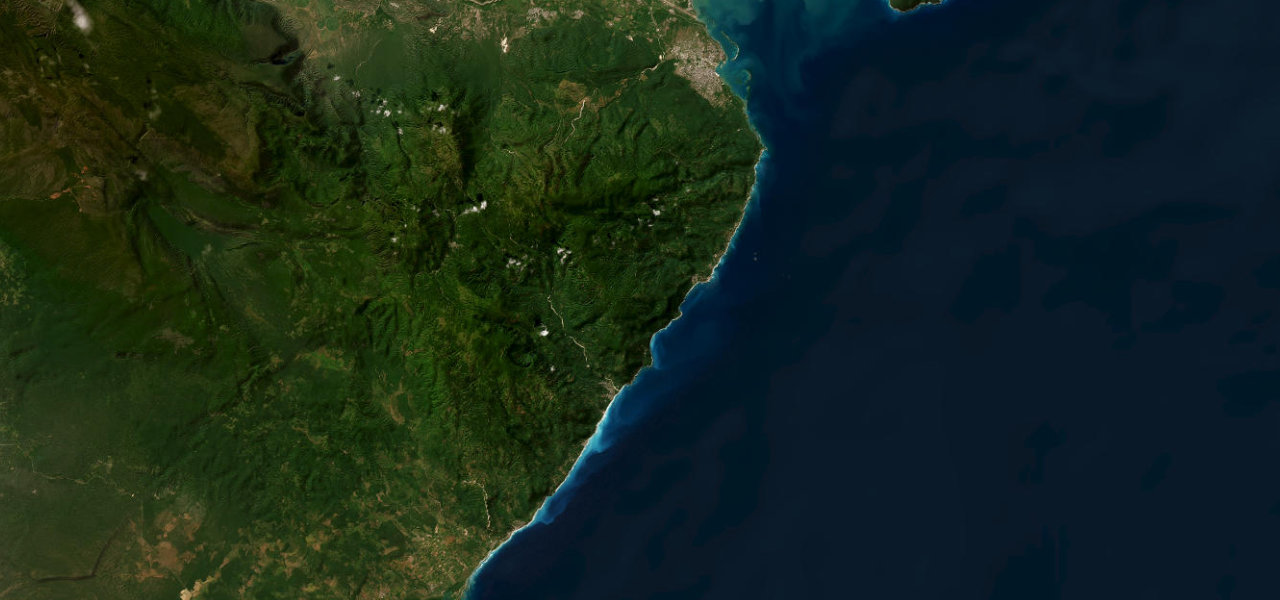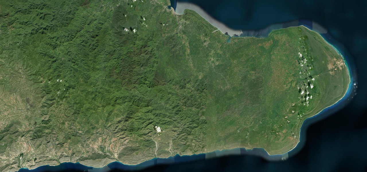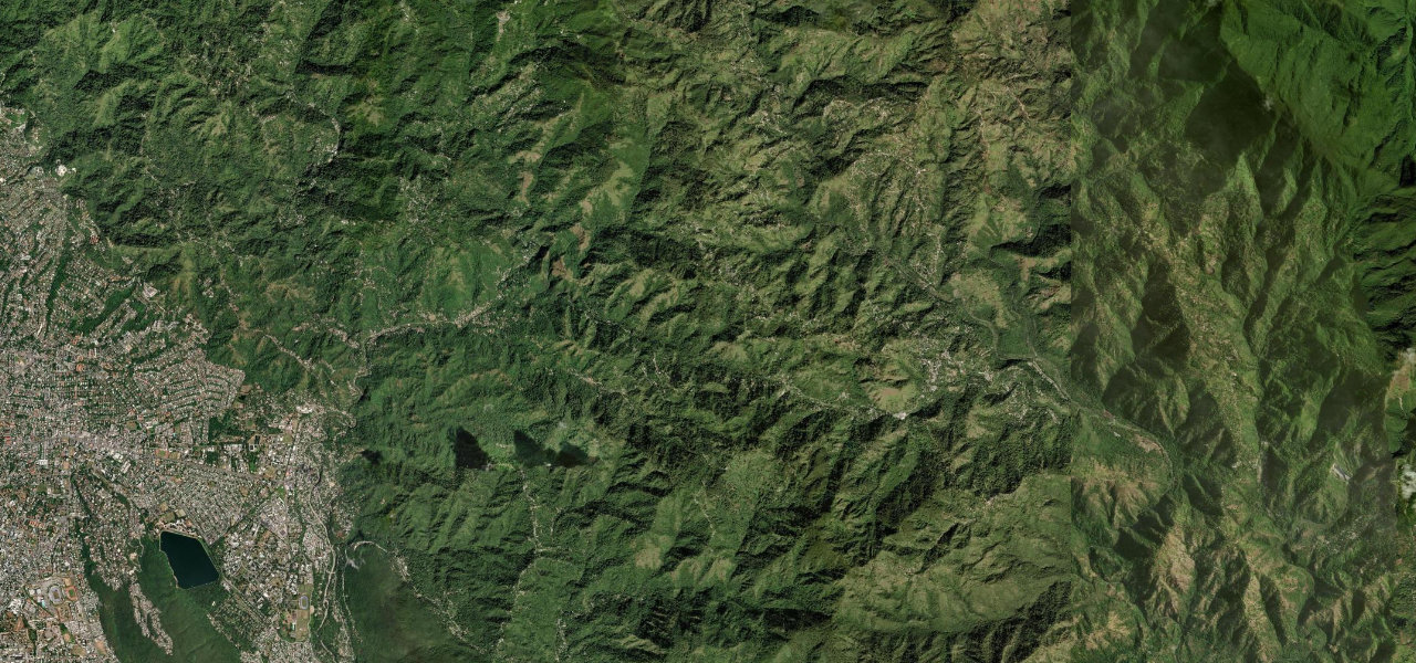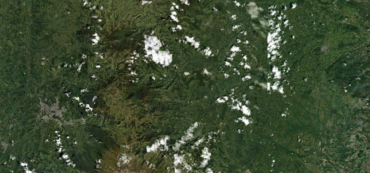
Cordillera Central · Puerto Rico
Ruta Panorámica
PR-143Adjuntas to Barranquitas
The mountain spine of Puerto Rico’s Ruta Panoramica, threading the Cordillera Central past the island’s highest peak, Cerro de Punta, on a narrow, barrier-free ribbon of switchbacks.
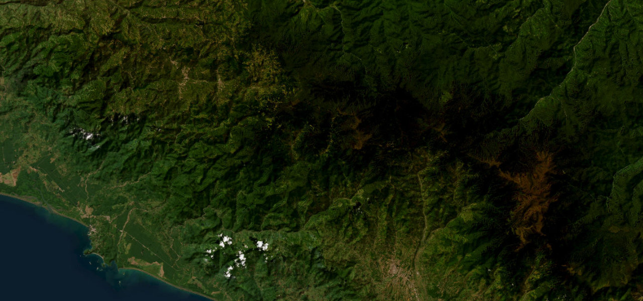
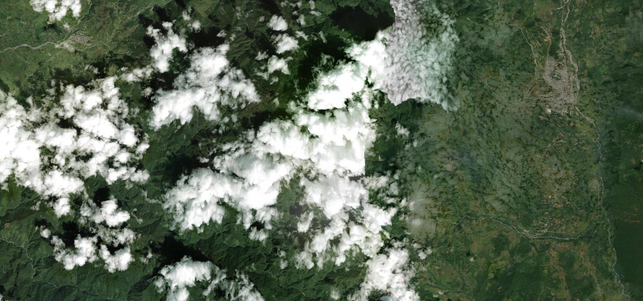
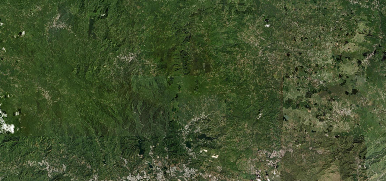
PR-143 is the high heart of the Ruta Panoramica, the signed scenic route that runs the length of the island’s mountainous backbone. From Adjuntas it climbs through Toro Negro State Forest, passing within reach of Cerro de Punta at 1,338 m, the highest point in Puerto Rico, with the Atlantic and Caribbean coasts both visible on clear days. The road is narrow, twisting and largely unguarded, dipping in and out of cloud forest as it works east toward Barranquitas.
Scenery
Where it runs
Navigate to the start: Apple Maps · Google Maps
Character
Elevation
under 4%4–8%over 8%494 – 1,232 mPoints of interest
- Charco de los SuspirosLandmark
- Cerro MarravillaViewpoint
- Mirador Villalba OrocovisViewpoint
Hazards
- Narrow lane with steep, unguarded drops
- Frequent blind curves on the ridge
- Fog and low cloud at altitude
- Fallen debris after tropical rain
Sources: Road geometry © OpenStreetMap contributors
Nearby roads
The closest great drives to Ruta Panorámica.