
 Country guide
Driving roads in Puerto Rico
All 1 driving road in Puerto Rico on one interactive map, each with its route, climb and best seasons.
Roads1mapped
Combined45 mi72 km of driving
High point1,287 m4,222 ft
The roads
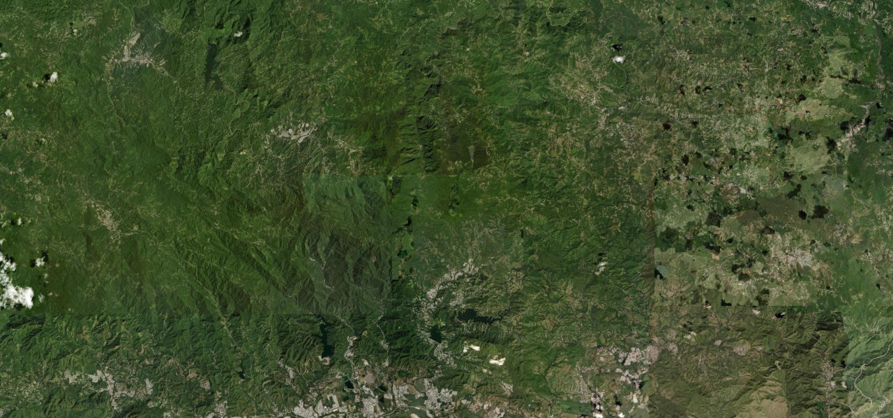 Ruta Panorámica45 mi · 1 h 43 min · 1,287 m summitView the roadbook ›
Collections featuring Puerto Rico
Nearby countries

 Dominican Republic

 Cuba

 Jamaica
Driving in Puerto Rico: common questions
What is the best driving road in Puerto Rico?
Ruta Panorámica is the place to start. The mountain spine of Puerto Rico’s Ruta Panoramica, threading the Cordillera Central past the island’s highest peak, Cerro de Punta, on a narrow, barrier-free ribbon of switchbacks.
How many great driving roads does Puerto Rico have?
1 road in our catalogue, 45 miles of driving in all, every one traced from OpenStreetMap.
When is the best time to drive in Puerto Rico?
Most of the roads here are at their best in spring and summer.