
 Country guide
Driving roads in Dominican Republic
All 1 driving road in Dominican Republic on one interactive map, each with its route, climb and best seasons.
Roads1mapped
Combined29 mi47 km of driving
High point158 m518 ft
The roads
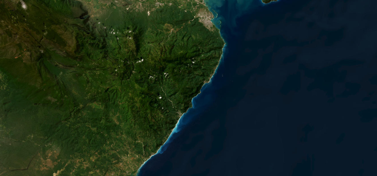 Barahona Coastal Road29 mi · 56 min · 55 cornersView the roadbook ›
Collections featuring Dominican Republic
Nearby countries

 Cuba

 Puerto Rico

 Jamaica
Driving in Dominican Republic: common questions
What is the best driving road in Dominican Republic?
Barahona Coastal Road is the place to start. Widely regarded as the most scenic highway in the Caribbean, the southern RD-44 clings to cliffs above the turquoise sea as the Sierra de Bahoruco plunges directly into the water.
How many great driving roads does Dominican Republic have?
1 road in our catalogue, 29 miles of driving in all, every one traced from OpenStreetMap.
When is the best time to drive in Dominican Republic?
Most of the roads here are at their best in winter and spring.