Barahona Province · Dominican Republic
Barahona Coastal Road
RD-44Barahona to Enriquillo
Distance29.3 mi47 km
Drive time56 minon the road
DifficultyEasytightness 4 of 10
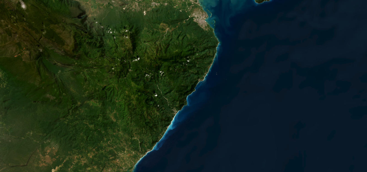
Widely regarded as the most scenic highway in the Caribbean, the southern RD-44 clings to cliffs above the turquoise sea as the Sierra de Bahoruco plunges directly into the water.
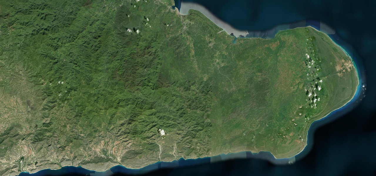
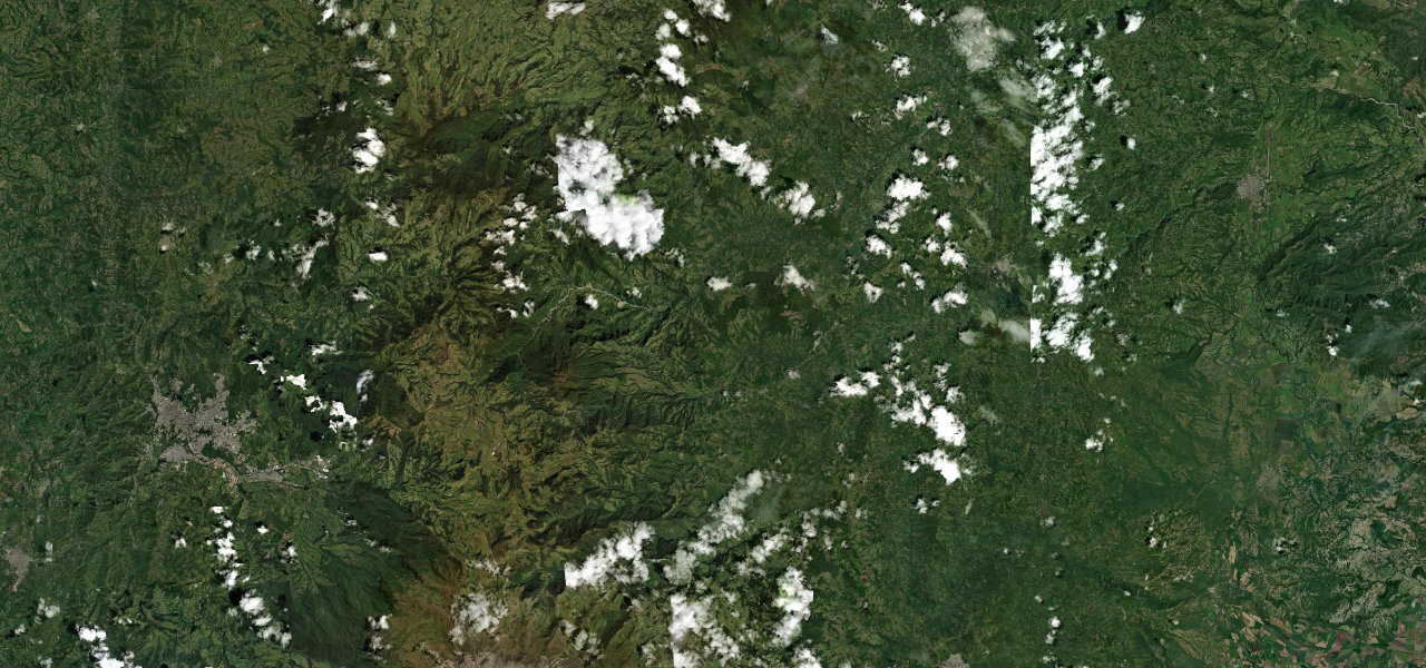
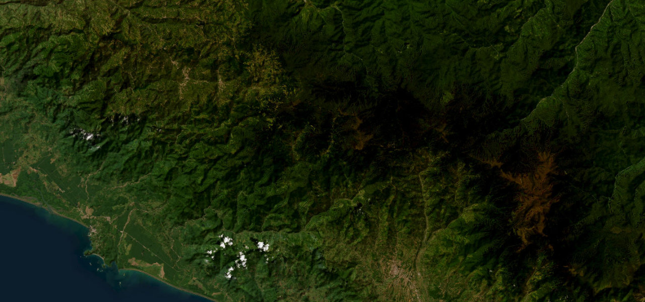
Leaving Barahona south, RD-44 becomes one of the region’s great coastal drives, the Sierra de Bahoruco rising sharply on the right and the Caribbean dropping away on the left, the road carved into the cliff face. It passes the larimar-mining village of Paraíso and Los Patos, where a cool river meets the sea, to Enriquillo.
Where it runs
BarahonaStart · Barahona Province
EnriquilloEnd · Barahona Province
Navigate to the start: Apple Maps · Google Maps
Character
Corners55bends
Tightness4of 10
Max gradient8%≈ 1-in-13
Climb364 mtotal ascent
Summit166 mhighest point of the line · 545 ft
Elevation
under 4%4–8%over 8%5 – 166 mHazards
- narrow sections carved into the cliff face
- falling rocks
- pedestrians and livestock at villages
Sources: Road geometry © OpenStreetMap contributors
Nearby roads
The closest great drives to Barahona Coastal Road.
Barahona Coastal Road
Directions